|
|
|
1 members (Alisa),
1,176
guests, and
30
robots. |
|
Key:
Admin,
Global Mod,
Mod
|
|
S |
M |
T |
W |
T |
F |
S |
|
|
|
|
|
|
|
1
|
|
2
|
3
|
4
|
5
|
6
|
7
|
8
|
|
9
|
10
|
11
|
12
|
13
|
14
|
15
|
|
16
|
17
|
18
|
19
|
20
|
21
|
22
|
|
23
|
24
|
25
|
26
|
27
|
28
|
29
|
|
30
|
31
|
|
|
|
|
|
|
There are no members with birthdays on this day. |
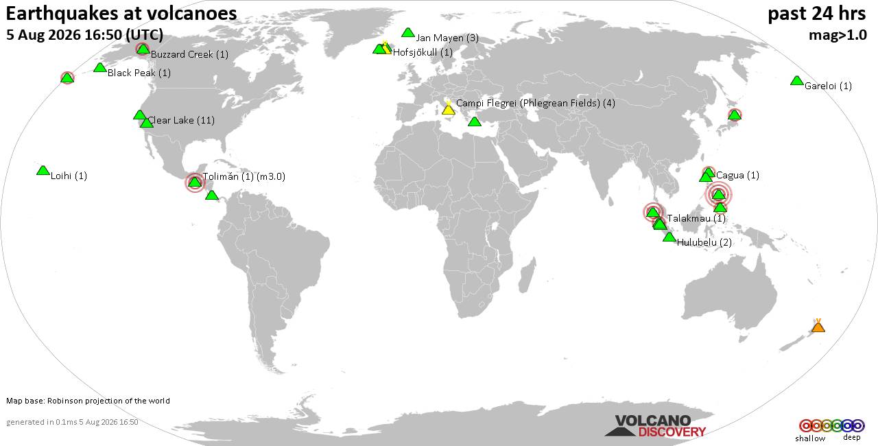
Volcano earthquake report for Wednesday, 5 Aug 2026
• World Earthquake Report for Wednesday, 5 August 2026
• Significant 5.3 quake hits near Tasikmalaya, Kota Tasikmalaya, Jawa Barat, ...
• Moderate mag. 4.1 earthquake - Near North Coast of West Papua on Wednesday,...
• Strong mag. 5.0 earthquake - Java, Indonesia, on Wednesday, Aug 5, 2026, at...
• Moderate mag. 4.0 earthquake - Banda Sea on Wednesday, Aug 5, 2026, at 10:3...
|

#780746
Thu 30 Oct 2025 04:53:PM
|
Joined: Feb 2001
Posts: 678,976
Launch Director
|
OP

Launch Director
Joined: Feb 2001
Posts: 678,976 |
SPC Oct 30, 2025 1730 UTC Day 2 Convective OutlookSPC 1730Z Day 2 Outlook 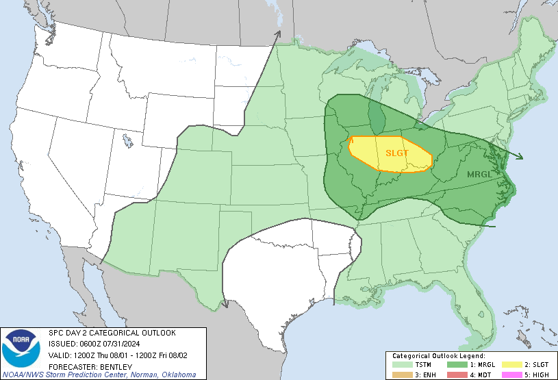
Day 2 Convective Outlook
NWS Storm Prediction Center Norman OK
1149 AM CDT Thu Oct 30 2025

Valid 311200Z - 011200Z

...NO THUNDERSTORM AREAS FORECAST...

...SUMMARY...
Thunderstorm potential appears low on Friday.

...Discussion...
A large-scale trough will envelope much of the eastern CONUS on
Friday with 2 mid-level low centers across New England and the Upper
Midwest. At the surface, a strong area of low pressure will move
from northern Vermont toward New Brunswick/Nova Scotia. An occluded
front will extend east from this low where a strong cold front will
extend from the northern Atlantic to into the Caribbean and deep
into the Gulf. This deep frontal intrusion will result in cool, dry
continental air across much of the eastern CONUS. Cool air aloft
beneath each of the mid-level low pressure areas may result in some
convection, but this convection should remain too shallow for charge
separation.

A low pressure center will move across the Rio Grande through the
period. This will result in some return flow across the western Gulf
and inland intrusion of better low-level moisture. However, the
early stages of this moisture return will be shallow, and therefore
no thunderstorm activity is anticipated.

..Bentley.. 10/30/2025
Read morehttps://www.spc.noaa.gov/products/outlook/day2otlk_1730.html
|
|



CMS The Best Conveyancing solicitors conveyancing quotes throughout the UK
For any webhosting enquiries please email webmaster@aus-city.com
|
|
Entire Thread
|
 SPC Oct 30, 2025 1730 UTC Day 2 Convective Outlook
|
Webmaster
|
Thu 30 Oct 2025 04:53:PM
|
|
Forums60
Topics794,645
Posts829,434
Members2,960
| |
Most Online102,106
Jul 10th, 2026
|
|
|
|
|

|