|
0 members (),
915
guests, and
24
robots. |
|
Key:
Admin,
Global Mod,
Mod
|
|
S |
M |
T |
W |
T |
F |
S |
|
|
|
1
|
2
|
3
|
4
|
5
|
|
6
|
7
|
8
|
9
|
10
|
11
|
12
|
|
13
|
14
|
15
|
16
|
17
|
18
|
19
|
|
20
|
21
|
22
|
23
|
24
|
25
|
26
|
|
27
|
28
|
29
|
30
|
|
|
|
|
There are no members with birthdays on this day. |
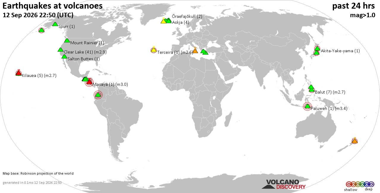
Volcano earthquake report for Saturday, 12 September 2026
• World Earthquake Report for Saturday, 12 September 2026
• Moderate but deep magnitude 5.3 quake hits 74 km southeast of Nakanoshima, ...
• Strong mag. 5.3 earthquake - Ryukyu Islands, Japan, on Sunday, Sep 13, 2026...
• Seismic-like event, possible earthquake, reported minutes ago near Pasto, N...
• Moderate mag. 4.3 earthquake - Philippine Sea, 34 km south of Miyake, Tokyo...
|

#781505
Sat 01 Nov 2025 09:41:PM
|
Joined: Feb 2001
Posts: 678,977
Launch Director
|
|
Launch Director
Joined: Feb 2001
Posts: 678,977 |
SPC Day 3-8 Fire Weather OutlookSPC Day 3-8 Fire Weather Outlook 
Day 3-8 Fire Weather Outlook
NWS Storm Prediction Center Norman OK
0436 PM CDT Sat Nov 01 2025

Valid 031200Z - 091200Z

Weak ridging and quasi-zonal flow will dominate much of the western
and central US through mid-week. Stronger westerly flow will develop
over the West and impinge on the Rockies and southern High Plains by
late in the week. A compact upper low will exit the Southeast by Day
4/Tuesday, while strong flow aloft and general upper-level troughing
are expected over the Great Lakes and Northeast through Day
5/Wednesday.

...High Plains...
Dry/breezy southerly winds are likely on portions of the southern
High Plains on Day 3/Monday with winds turning more westerly on Day
4/Tuesday as lee troughing develops amid modest downslope flow.
Dry/breezy conditions are also likely in portions of southeast
Wyoming into western Nebraska and northeast Colorado on Day
4/Tuesday. If forecast guidance continues to trend towards
drier/breezier conditions, 40% areas may be needed on Day 4/Tuesday.

Stronger winds aloft arrive by Day 6/Thursday leading to stronger
downslope flow and deeper lee troughing on portions of the High
Plains. The 40% probability area was expanded on the southern High
Plains and additional areas on the central/northern High Plains may
be necessary, especially if confidence increases in lower forecast
RH values.

...Southeast/Mid-Atlantic...
Dry and potentially breezy conditions are expected in portions of
the Southeast into the Mid-Atlantic on Day 4/Tuesday - Day
5/Wednesday. Some of these areas have received recent precipitation,
but southern Georgia into North Florida and southeast Alabama have
received less. Additionally, portions of the Carolinas into the
DelMarVa have longer-term dryness even with recent rainfall. The
lack of overlap of stronger winds and lower RH preclude introducing
areas at this time.

..Nauslar.. 11/01/2025

...Please see www.spc.noaa.gov/fire for graphic product...
Read morehttps://www.spc.noaa.gov/products/exper/fire_wx/
|
|



CMS The Best Conveyancing solicitors conveyancing quotes throughout the UK
For any webhosting enquiries please email webmaster@aus-city.com
|
|
Entire Thread
|
 SPC Day 3-8 Fire Weather Outlook
|
Webmaster
|
Sat 01 Nov 2025 09:41:PM
|
|
Forums60
Topics825,435
Posts860,228
Members2,960
| |
Most Online102,106
Jul 10th, 2026
|
|
|





































