|
|
|
0 members (),
1,347
guests, and
19
robots. |
|
Key:
Admin,
Global Mod,
Mod
|
|
S |
M |
T |
W |
T |
F |
S |
|
|
|
|
|
|
|
1
|
|
2
|
3
|
4
|
5
|
6
|
7
|
8
|
|
9
|
10
|
11
|
12
|
13
|
14
|
15
|
|
16
|
17
|
18
|
19
|
20
|
21
|
22
|
|
23
|
24
|
25
|
26
|
27
|
28
|
29
|
|
30
|
31
|
|
|
|
|
|
|
There are no members with birthdays on this day. |
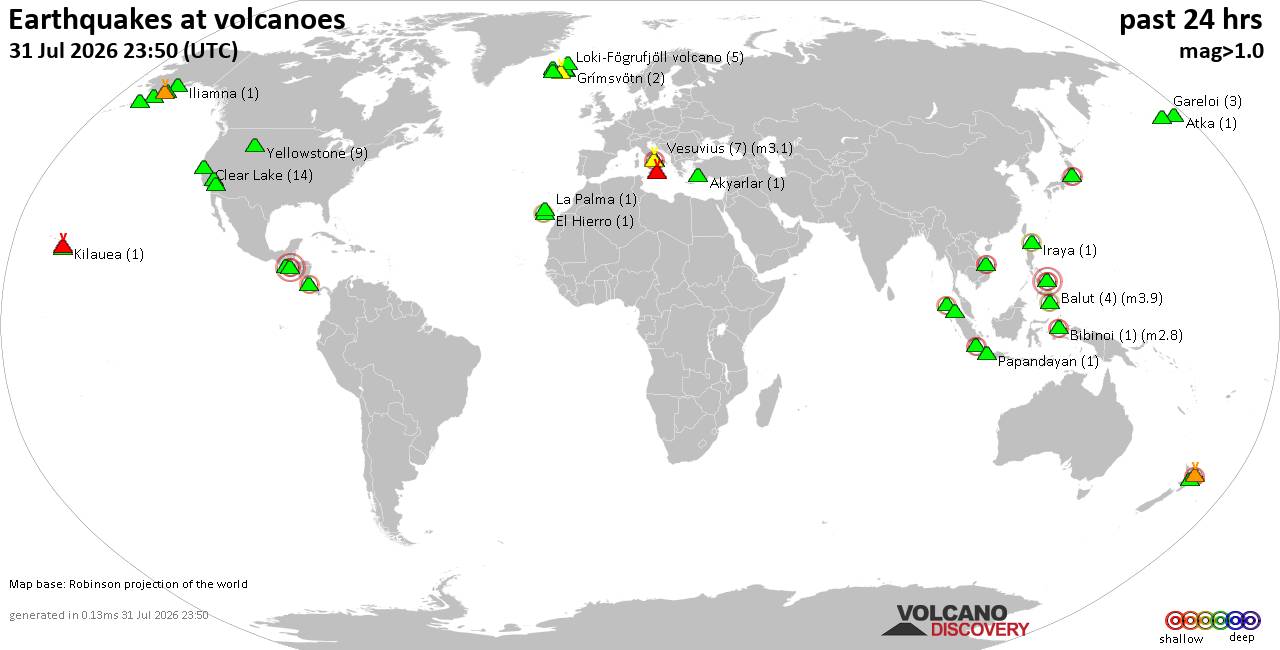
Volcano earthquake report for Friday, 31 Jul 2026
• World Earthquake Report for Friday, 31 July 2026
• Light mag. 3.9 earthquake - Philippine Sea, 57 km east of Sulangan, Philipp...
• Small tremor of magnitude 3.1 just reported 10 km southwest of Naples, Ital...
• Seismic-like event, possible earthquake, reported few minutes ago near Napl...
• Strong mag. 5.0 earthquake - 65 km northeast of Pu'er, Yunnan Sheng, China,...
|

#795780
Wed 28 Jan 2026 12:39:PM
|
Joined: Feb 2001
Posts: 678,976
Launch Director
|
OP

Launch Director
Joined: Feb 2001
Posts: 678,976 |
SPC Jan 28, 2026 1300 UTC Day 1 Convective OutlookSPC 1300Z Day 1 Outlook 
Day 1 Convective Outlook
NWS Storm Prediction Center Norman OK
0636 AM CST Wed Jan 28 2026

Valid 281300Z - 291200Z

...NO THUNDERSTORM AREAS FORECAST...

...SUMMARY...
Thunderstorms are not forecast for today.

...Synopsis...
Early-morning satellite imagery shows a pair of shortwave troughs
within in the cyclonic flow covering the central and eastern CONUS.
The southernmost shortwave is currently progressing southeastward
into the Lower MS Valley, with this southeastward motion expected to
persist throughout the day. This evolution takes the wave across the
north-central and eastern Gulf this afternoon/evening, and across FL
by early tomorrow morning. The northern shortwave is moving
southeastward over the Upper Great Lakes, and continued
southeastward progress will take this wave through the middle/upper
OH Valley and off the northern Mid-Atlantic coast tonight. Dry and
stable conditions associated with an arctic airmass will be in place
ahead of these shortwaves, limiting low-level moisture and
precluding thunderstorm development.

Another shortwave trough is currently moving eastward across the
interior Pacific Northwest and northern Great Basin. This
eastward/southeastward progression should continue, taking the wave
through the northern/central Rockies and into the central Plains
while also dampening the shortwave ridging proceeding it.
Precipitation will be possible in association with this shortwave
during the day and across the central and northern Rockies. However,
little to no instability is forecast, and thunderstorms appear
unlikely.

..Mosier/Broyles.. 01/28/2026
Read morehttps://www.spc.noaa.gov/products/outlook/day1otlk_1300.html
|
|



CMS The Best Conveyancing solicitors conveyancing quotes throughout the UK
For any webhosting enquiries please email webmaster@aus-city.com
|
|
Entire Thread
|
 SPC Jan 28, 2026 1300 UTC Day 1 Convective Outlook
|
Webmaster
|
Wed 28 Jan 2026 12:39:PM
|
|
Forums60
Topics793,763
Posts828,549
Members2,960
| |
Most Online102,106
Jul 10th, 2026
|
|
|
|
|

|