|
|
|
0 members (),
2,037
guests, and
25
robots. |
|
Key:
Admin,
Global Mod,
Mod
|
|
S |
M |
T |
W |
T |
F |
S |
|
1
|
2
|
3
|
4
|
5
|
6
|
7
|
|
8
|
9
|
10
|
11
|
12
|
13
|
14
|
|
15
|
16
|
17
|
18
|
19
|
20
|
21
|
|
22
|
23
|
24
|
25
|
26
|
27
|
28
|
|
29
|
30
|
31
|
|
|
|
|
|
There are no members with birthdays on this day. |
|
|
Joined: Feb 2001
Posts: 381,904
Launch Director
|
OP

Launch Director
Joined: Feb 2001
Posts: 381,904 |
SPC Severe Thunderstorm Watch 17WW 17 SEVERE TSTM IL IN MI LM 062300Z - 070400Z 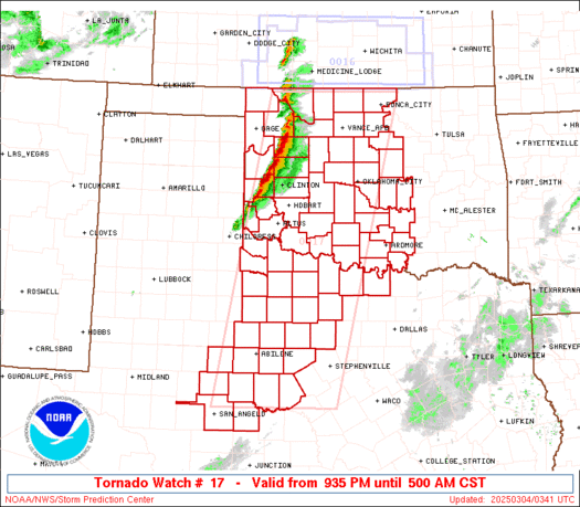
URGENT - IMMEDIATE BROADCAST REQUESTED
Severe Thunderstorm Watch Number 17
NWS Storm Prediction Center Norman OK
600 PM EST Fri Mar 6 2026

The NWS Storm Prediction Center has issued a

* Severe Thunderstorm Watch for portions of
  Northeast Illinois
  Northern Indiana
  Southwest Lower Michigan
  Lake Michigan

* Effective this Friday evening from 600 PM until 1100 PM EST.

* Primary threats include...
  Scattered damaging wind gusts to 70 mph possible
  Isolated large hail events to 1.5 inches in diameter possible
  A tornado or two possible

SUMMARY...A line of thunderstorms over southern Lake Michigan and
central Illinois will track eastward through the evening, posing a
risk of locally damaging wind gusts and hail.

The severe thunderstorm watch area is approximately along and 60
statute miles east and west of a line from 30 miles northeast of
South Bend IN to 70 miles south southwest of Valparaiso IN. For a
complete depiction of the watch see the associated watch outline
update (WOUS64 KWNS WOU7).

PRECAUTIONARY/PREPAREDNESS ACTIONS...

REMEMBER...A Severe Thunderstorm Watch means conditions are
favorable for severe thunderstorms in and close to the watch area.
Persons in these areas should be on the lookout for threatening
weather conditions and listen for later statements and possible
warnings. Severe thunderstorms can and occasionally do produce
tornadoes.

&&

OTHER WATCH INFORMATION...CONTINUE...WW 15...WW 16...

AVIATION...A few severe thunderstorms with hail surface and aloft to
1.5 inches. Extreme turbulence and surface wind gusts to 60 knots. A
few cumulonimbi with maximum tops to 500. Mean storm motion vector
24030.

...Hart
Read morehttps://www.spc.noaa.gov/products/watch/ww0017.html
|
|


CMS The Best Conveyancing solicitors conveyancing quotes throughout the UK
For any webhosting enquiries please email webmaster@aus-city.com
|
|
Entire Thread
|

 SPC Severe Thunderstorm Watch 17
|
Webmaster
|
4 hours ago
|
|
Forums60
Topics764,724
Posts799,472
Members2,958
| |
Most Online17,963
Jan 15th, 2026
|
|
|
|
|
Copyright 1996 - 2026 by David Cottle. Designed by David Bate Jr. All Rights Reserved.
By using this forum, the user agrees not to transfer any data or technical information received under the agreement, to any other entity without the express approval of the AUS-CITY Forum Admins and/or authors of individual posts (Forum Admins and DoD/USSPACECOM for the analysis of satellite tracking data).
Two-line elements (TLE) and all other satellite data presented and distributed via this forum and e-mail lists of AUS-CITY are distributed with permission from DoD/USSTRATCOM.

Reprise Hosting

|

|


 - Click image for larger picture.")


