|
|
|
0 members (),
1,316
guests, and
26
robots. |
|
Key:
Admin,
Global Mod,
Mod
|
|
S |
M |
T |
W |
T |
F |
S |
|
|
|
|
|
1
|
2
|
3
|
|
4
|
5
|
6
|
7
|
8
|
9
|
10
|
|
11
|
12
|
13
|
14
|
15
|
16
|
17
|
|
18
|
19
|
20
|
21
|
22
|
23
|
24
|
|
25
|
26
|
27
|
28
|
29
|
30
|
31
|
|
There are no members with birthdays on this day. |
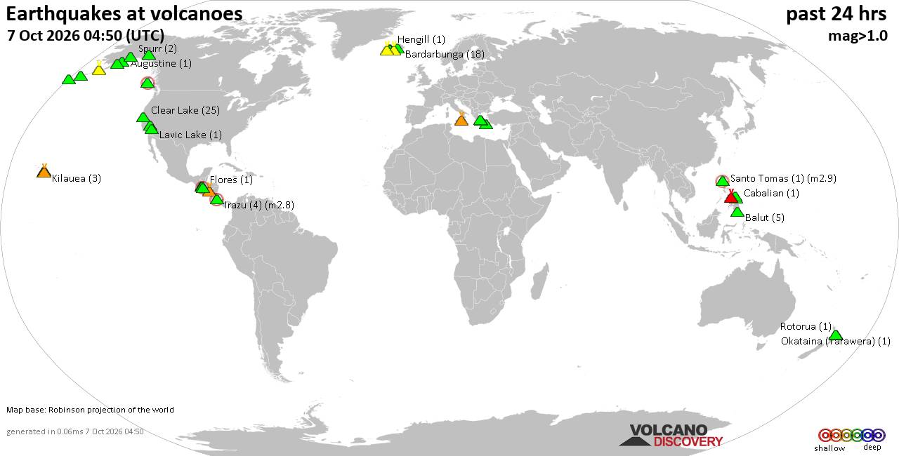
Volcano earthquake report for Wednesday, 7 October 2026
• M 5.1 - 20 km SW of Hilvan, Turkey
• M 0.8 - 10 km ENE of Coso Junction, CA
• M 4.1 - 145 km S of False Pass, Alaska
• M 4.6 - 8 km W of Port-Olry, Vanuatu
• M 0.9 - 14 km SSE of Livermore, CA
|
|
|
Joined: Feb 2001
Posts: 678,977
Launch Director
|
|
Launch Director
Joined: Feb 2001
Posts: 678,977 |
SPC Day 2 Fire Weather OutlookSPC Day 2 Fire Weather Outlook 
Day 2 Fire Weather Outlook
NWS Storm Prediction Center Norman OK
1148 PM CDT Tue Oct 06 2026

Valid 081200Z - 091200Z

...NO CRITICAL AREAS...

...Synopsis...
On Day 2/Thursday, the jet streak will continue moving around the
base of the upper-level trough over the New England states. A cold
front accompanying this system will continue progressing southeast
through much of the Northeast CONUS and Mid-Atlantic area by late on
Day 2/Thursday evening. While northwesterly winds behind the front
could gust up to 20-30 mph, these strongest speeds will likely
remain constrained to the Great Lakes region. Regardless, RHs
struggle to drop below 30% behind this frontal passage. This will
again preclude a significant fire weather threat.

..Stearns.. 10/07/2026

...Please see www.spc.noaa.gov/fire for graphic product...
Read morehttps://www.spc.noaa.gov/products/fire_wx/fwdy2.html
|
|



CMS The Best Conveyancing solicitors conveyancing quotes throughout the UK
For any webhosting enquiries please email webmaster@aus-city.com
|
|
Entire Thread
|

 SPC Day 2 Fire Weather Outlook
|
Webmaster
|
5 hours ago
|
|
Forums60
Topics861,457
Posts896,252
Members2,960
| |
Most Online102,106
Jul 10th, 2026
|
|
|
|
|

|









































