|
0 members (),
1,910
guests, and
26
robots. |
|
Key:
Admin,
Global Mod,
Mod
|
|
S |
M |
T |
W |
T |
F |
S |
|
|
|
|
|
1
|
2
|
3
|
|
4
|
5
|
6
|
7
|
8
|
9
|
10
|
|
11
|
12
|
13
|
14
|
15
|
16
|
17
|
|
18
|
19
|
20
|
21
|
22
|
23
|
24
|
|
25
|
26
|
27
|
28
|
29
|
30
|
31
|
|
There are no members with birthdays on this day. |
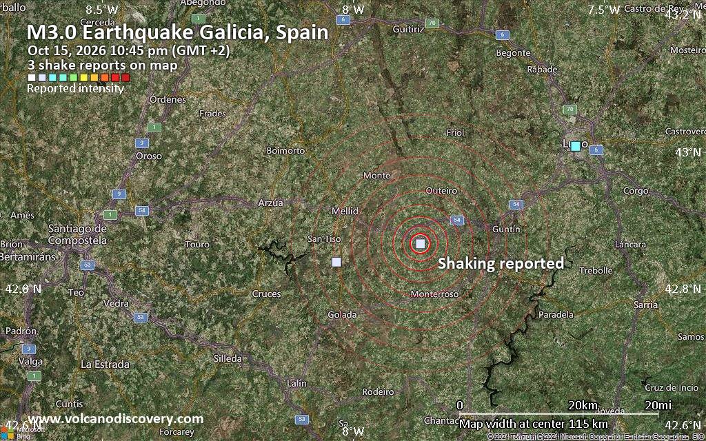
Seismic-like event, possible earthquake, reported a few minutes ago near Lugo, Galicia, Spain
• Volcano earthquake report for Thursday, 15 October 2026
• Magnitude 2.8 earthquake strikes near Limoges, Haute-Vienne, Nouvelle-Aquit...
• M 4.9 - 193 km SE of Mata-Utu, Wallis and Futuna
• M 2.5 - 110 km SSW of Nikolski, Alaska
• Moderate mag. 4.8 earthquake - 93 km southwest of Retalhuleu, Departamento ...
|
|
|
Joined: Feb 2001
Posts: 678,977
Launch Director
|
|
Launch Director
Joined: Feb 2001
Posts: 678,977 |
SPC Day 3-8 Fire Weather OutlookSPC Day 3-8 Fire Weather Outlook 
Day 3-8 Fire Weather Outlook
NWS Storm Prediction Center Norman OK
0409 PM CDT Thu Oct 15 2026

Valid 171200Z - 231200Z

...Synopsis...
Offshore winds aided by a mid/upper low west of Baja California and
surface high pressure across the central U.S. will continue into at
least the morning hours of D3/Saturday across portions of southern
CA. Northerly flow within a dry, post-frontal air mass will likely
bring a fire weather threat to the lower MS River Valley region
D3/Saturday. Potential for significant fire weather diminishes
D4/Sunday across CONUS as offshore winds decrease across southern CA
with weakening winds over the lower MS River valley as high pressure
shifts towards the Mid Atlantic. Mid-range guidance suggests a
stronger upper-level trough moving into the western U.S. early next
week bringing a period of dry and breezy conditions to northeastern
CA and adjacent northwestern Great Basin.

...Day 3/Saturday...
...Southern California...
Residual offshore easterly flow will continue through the morning
hours across portions of southern CA Saturday. East to northeast
winds of 10-20 mph and low RH will sustain the ongoing fire weather
threat through Saturday morning before lighter winds emerge by
Saturday afternoon and evening. A 40% critical probability area
continues for the Simi Valley area as well as the Sierra Madre and
San Rafael ranges.

...Lower Mississippi River Valley...
Fire weather concerns will shift southward from the ArkLaTex region
into the lower MS River Valley by Saturday under a dry, post-frontal
pattern. A consistent north-northeast wind of 10-15 mph along with
minimum daytime RH values near 25% are expected where fuels will be
quite receptive, including along the Gulf Coast of LA. Only a minor
north and eastward expansion of the 40% critical probability area
was needed.

...Day 5/Monday...
...Northeastern California and Northwest Great Basin...
A robust mid/upper trough could bring increasing southwesterly flow
back into the western U.S. by early next week. Dry and breezy
conditions in advance of the trough will promote an increasing fire
weather threat over northeastern CA, far southern OR and far
northwestern NV D5/Monday where fuels remain dry in the absence of
recent precipitation. Thus, 40% critical probabilities have been
added to highlight the potential for fire weather impacts.

..Williams.. 10/15/2026

...Please see www.spc.noaa.gov/fire for graphic product...
Read morehttps://www.spc.noaa.gov/products/exper/fire_wx/
|
|



CMS The Best Conveyancing solicitors conveyancing quotes throughout the UK
For any webhosting enquiries please email webmaster@aus-city.com
|
|
Entire Thread
|

 SPC Day 3-8 Fire Weather Outlook
|
Webmaster
|
Yesterday at 09:14 PM
|
|
Forums60
Topics877,343
Posts912,139
Members2,960
| |
Most Online102,106
Jul 10th, 2026
|
|
|









































