|
0 members (),
1,613
guests, and
26
robots. |
|
Key:
Admin,
Global Mod,
Mod
|
|
S |
M |
T |
W |
T |
F |
S |
|
|
|
|
|
1
|
2
|
3
|
|
4
|
5
|
6
|
7
|
8
|
9
|
10
|
|
11
|
12
|
13
|
14
|
15
|
16
|
17
|
|
18
|
19
|
20
|
21
|
22
|
23
|
24
|
|
25
|
26
|
27
|
28
|
29
|
30
|
31
|
|
There are no members with birthdays on this day. |
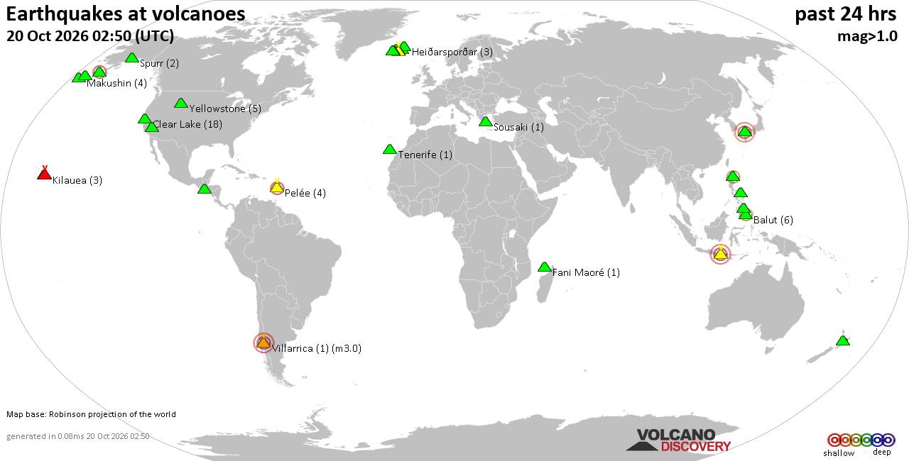
Volcano earthquake report for Tuesday, 20 October 2026
• M 1.8 - 4 km NW of The Geysers, CA
• M 2.1 - 46 km WNW of Tyonek, Alaska
• M 1.5 - 57 km SSE of Manley Hot Springs, Alaska
• M 3.1 - 254 km SSE of Perryville, Alaska
• M 0.3 - 3 km WSW of Anza, CA
|
|
|
Joined: Feb 2001
Posts: 678,977
Launch Director
|
|
Launch Director
Joined: Feb 2001
Posts: 678,977 |
SPC Day 1 Fire Weather OutlookSPC Day 1 Fire Weather Outlook 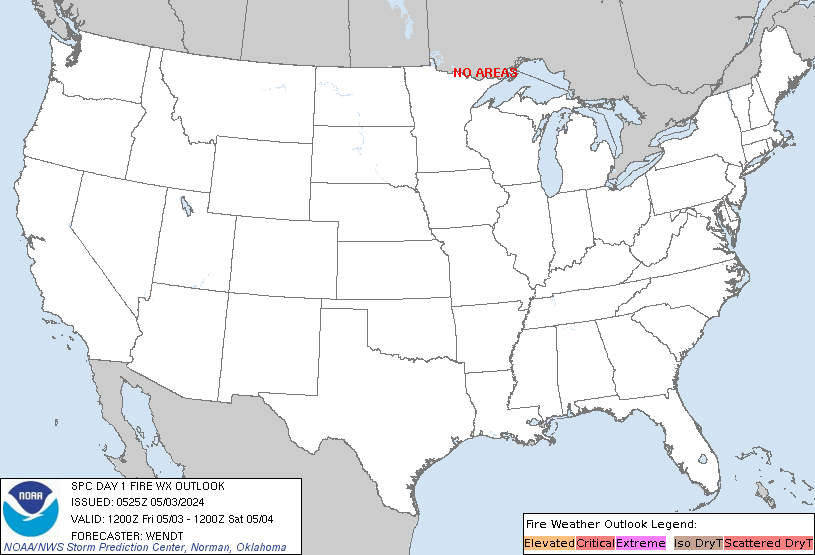
Day 1 Fire Weather Outlook
NWS Storm Prediction Center Norman OK
1137 AM CDT Mon Oct 19 2026

Valid 191700Z - 201200Z

The ongoing forecast remains on track for elevated fire weather
conditions across portions of northeastern California and the
northwestern Great Basin today. Farther east, a persisting dry
airmass and warm daytime temperatures will promote RH values of
20-30% across the lower Mississippi River Valley. Rainfall-neglected
fuels are growing increasingly more receptive, though lighter
northeasterly winds of less than 10 mph will keep fire weather
concerns low.

Please see the previous discussion for more information.

..Elizalde-Garcia.. 10/19/2026

.PREV DISCUSSION... /ISSUED 1242 AM CDT Mon Oct 19 2026/

...Synopsis...
An upper-level trough positioned offshore of the Pacific Northwest
will shift south and amplify throughout the day, resulting in some
enhancement to the upper-level flow overspreading this region,
including portions of the upper Great Basin. At the surface, winds
should increase throughout the day via diurnal heating/mixing.
Elsewhere in the CONUS, relatively light winds should prevail in the
wake of a trough exiting the East Coast, with broad/weak zonal flow
aloft and surface high pressure present over the eastern two thirds
of the CONUS.

...Northeastern California, southern/southeastern Oregon, and
northwestern Nevada...
Elevated fire-weather conditions are forecast for this region today.
Sustained wind speeds should peak around 15-20 mph (with localized
gusts up to 25-30 mph possible, particularly across the northern
Sierra), while RH values fall into the low 20s and upper teens amid
dry/receptive fuels. The elevated area has been maintained and
expanded slightly westward, based on the latest high-resolution
guidance.

...Please see www.spc.noaa.gov/fire for graphic product...
Read morehttps://www.spc.noaa.gov/products/fire_wx/fwdy1.html
|
|



CMS The Best Conveyancing solicitors conveyancing quotes throughout the UK
For any webhosting enquiries please email webmaster@aus-city.com
|
|
Entire Thread
|

 SPC Day 1 Fire Weather Outlook |
Webmaster
|
Yesterday at 04:38 PM
|
|
Forums60
Topics884,439
Posts919,236
Members2,960
| |
Most Online102,106
Jul 10th, 2026
|
|
|









































