|
0 members (),
1,393
guests, and
27
robots. |
|
Key:
Admin,
Global Mod,
Mod
|
|
S |
M |
T |
W |
T |
F |
S |
|
|
|
|
|
1
|
2
|
3
|
|
4
|
5
|
6
|
7
|
8
|
9
|
10
|
|
11
|
12
|
13
|
14
|
15
|
16
|
17
|
|
18
|
19
|
20
|
21
|
22
|
23
|
24
|
|
25
|
26
|
27
|
28
|
29
|
30
|
31
|
|
There are no members with birthdays on this day. |

World Earthquake Report for Wednesday, 21 October 2026
• M 4.0 - 56 km S of Whites City, New Mexico
• M 5.1 - 164 km NE of Lospalos, Timor Leste
• M 5.1 - 164 km NE of Lospalos, Timor Leste
• M 2.2 - 56 km S of Whites City, New Mexico
• M 2.1 - 3 km SW of Anderson Springs, CA
|
|
|
Joined: Feb 2001
Posts: 678,977
Launch Director
|
|
Launch Director
Joined: Feb 2001
Posts: 678,977 |
SPC Day 3-8 Fire Weather OutlookSPC Day 3-8 Fire Weather Outlook 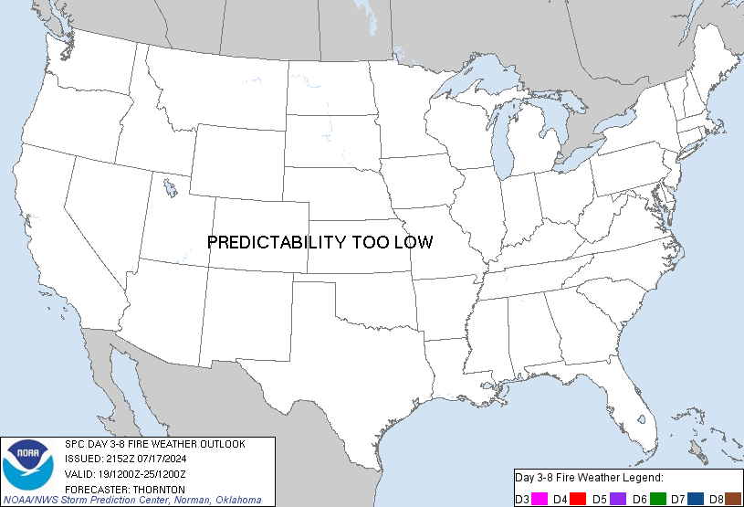
Day 3-8 Fire Weather Outlook
NWS Storm Prediction Center Norman OK
0349 PM CDT Tue Oct 20 2026

Valid 221200Z - 281200Z

Upper-level high pressure will persist across the middle of the
country, while a cutoff low slowly drifts just off the Eastern
Seaboard through Day 3/Thursday. This pattern will continue
near-normal temperatures amid dry conditions over much of the
Southeast US. Vegetation in this area will become increasingly
vulnerable to burning, especially across the southern Appalachian
Mountains and the lower Mississippi River Valley, where ERCs are
forecast to reach the 90-95th percentiles. However, generally weak
winds will limit the overall fire threat. Forecast models suggest
the upper-level ridge will shift toward the East Coast early next
week, briefly introducing at least slightly warmer-than-normal
conditions alongside ongoing dryness.

A strong upper-level low will push onshore CA on Day 3/Thursday and
progress toward the Great Basin, eventually approaching the Great
Plains by Day 6/Sunday. Expect resulting colder air and widespread
precipitation across a large portion of the Intermountain region,
portions of the Sierras, and the coastal CA mountains where fuels
have been persistently dry. Moving forward in time to next week,
forecast certainty decreases. However, recent trends in forecast
guidance indicate that an upper-level ridge is likely to return to
the Intermountain West by mid-to-late next week with embedded
shortwave troughs.

..Stearns.. 10/20/2026

...Please see www.spc.noaa.gov/fire for graphic product...
Read morehttps://www.spc.noaa.gov/products/exper/fire_wx/
|
|



CMS The Best Conveyancing solicitors conveyancing quotes throughout the UK
For any webhosting enquiries please email webmaster@aus-city.com
|
|
Entire Thread
|

 SPC Day 3-8 Fire Weather Outlook |
Webmaster
|
Yesterday at 08:55 PM
|
|
Forums60
Topics886,238
Posts921,035
Members2,960
| |
Most Online102,106
Jul 10th, 2026
|
|
|









































