|
0 members (),
1,472
guests, and
25
robots. |
|
Key:
Admin,
Global Mod,
Mod
|
|
S |
M |
T |
W |
T |
F |
S |
|
1
|
2
|
3
|
4
|
5
|
6
|
7
|
|
8
|
9
|
10
|
11
|
12
|
13
|
14
|
|
15
|
16
|
17
|
18
|
19
|
20
|
21
|
|
22
|
23
|
24
|
25
|
26
|
27
|
28
|
|
29
|
30
|
|
|
|
|
|
|
There are no members with birthdays on this day. |
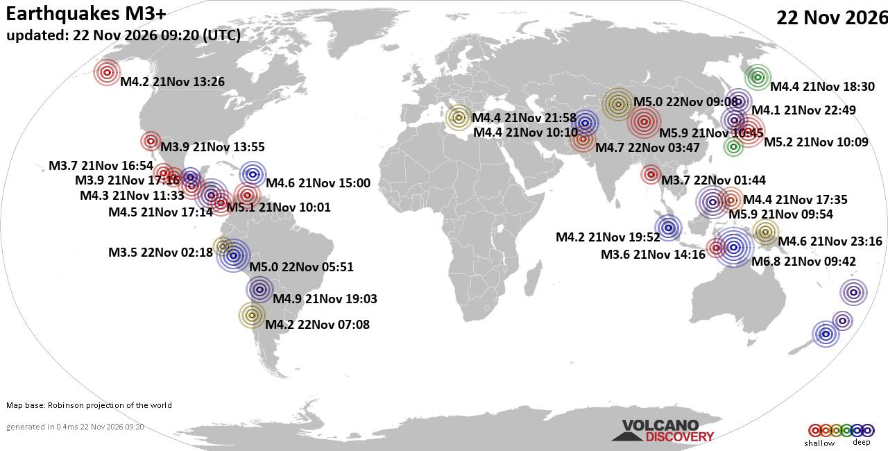
World Earthquake Report for Sunday, 22 November 2026
• M 2.8 - 152 km S of Cordova, Alaska
• M 5.4 - 159 km E of Masohi, Indonesia
• M 4.2 - south of the Fiji Islands
• M 0.7 - 5 km WNW of The Geysers, CA
• Strong mag. 5.0 earthquake - 47 km southeast of Ürümqi, Xinjiang, China, ...
|

#929899
Sun 25 Oct 2026 08:38:AM
|
Joined: Feb 2001
Posts: 800,656
Launch Director
|
|
Launch Director
Joined: Feb 2001
Posts: 800,656 |
Issued at 300 AM CST Sun Oct 25 2026 000
WTPZ42 KNHC 250838
TCDEP2
Hurricane Vance Discussion Number 16
NWS National Hurricane Center Miami FL EP222026
300 AM CST Sun Oct 25 2026
Vance's convective structure continues to be impacted by
southwesterly wind shear. Showers and thunderstorms have become less
organized, and most of the convection is now occurring in the
northern semi-circle. The latest subjective and objective intensity
estimates range from 62 to 77 kt. Given the ragged satellite
appearance, the initial intensity is lowered to 75 kt for this
advisory, and that could be generous.
The system is moving north-northwestward at 340/04 kt, steered
between a trough over the western United States and the western
periphery of a mid-level ridge over Mexico. Vance remains in weak
steering currents, a slow, generally north-northwestward to
northwestward motion is expected over the next few days. There
remain some along-track differences in the forward speed of the
system toward the end of the forecast period, which will be
dependent on the vertical depth of the vortex at that
time. The latest NHC track forecast has been shifted westward once
again, but it remains on the eastern edge of the guidance envelope
due to continuity constraints, with the HCCA and GDMI aids lying to
the west of the current track.
Vance will continue to encounter moderate southwesterly wind shear
and remains in the wake of an abundance of recent cyclones that have
moved over this area off the southwestern coast of Mexico over the
past month or so. While oceanic heat content may increase slightly,
mid-level dry air is forecast to entrain into the circulation, and
shear should increase even further. This will induce a steadier rate
of weakening. The NHC intensity forecast trends toward the latest
HCCA guidance and shows an overall faster rate of weakening than the
previous advisory. By the end of the forecast period, increasing
shear and dry air should take their toll on the convection
organization of Vance. Global models show the system may struggle to
produce organized deep convection by Day 5, and the latest forecast
now shows Vance becoming a post-tropical cyclone at that time.
Key Messages:
1. Due to the large uncertainties in both the track and intensity
forecasts, it is too early to determine what, if any, wind and storm
surge impacts Vance could bring to the coast of Mexico. Interests in
southwestern Mexico should continue to monitor the progress of
Vance.
2. Periods of heavy rainfall associated with slow-moving Hurricane
Vance will impact the western coast of Mexico from Michoacán to
Jalisco during much of this week. This rainfall may produce flooding
and mudslides across Colima and western portions of Michoacán and
Jalisco, especially in areas along steep terrain.
FORECAST POSITIONS AND MAX WINDS
INIT 25/0900Z 14.3N 103.4W 75 KT 85 MPH
12H 25/1800Z 14.8N 103.8W 70 KT 80 MPH
24H 26/0600Z 15.4N 104.4W 70 KT 80 MPH
36H 26/1800Z 15.8N 104.9W 65 KT 75 MPH
48H 27/0600Z 16.3N 105.5W 60 KT 70 MPH
60H 27/1800Z 17.1N 105.8W 55 KT 65 MPH
72H 28/0600Z 17.9N 106.0W 45 KT 50 MPH
96H 29/0600Z 19.3N 106.5W 40 KT 45 MPH
120H 30/0600Z 20.7N 106.9W 35 KT 40 MPH...POST-TROPICAL
$$
Forecaster Kelly Source: Hurricane Vance Forecast Discussion Number 16
|
|



CMS The Best Conveyancing solicitors conveyancing quotes throughout the UK
For any webhosting enquiries please email webmaster@aus-city.com
|
|
Entire Thread
|
 Hurricane Vance Forecast Discussion Number 16 |
Webmaster
|
Sun 25 Oct 2026 08:38:AM
|
|
Forums60
Topics940,015
Posts974,812
Members2,960
| |
Most Online102,106
Jul 10th, 2026
|
|
|









































