|
|
|
0 members (),
1,727
guests, and
32
robots. |
|
Key:
Admin,
Global Mod,
Mod
|
|
S |
M |
T |
W |
T |
F |
S |
|
|
|
|
|
1
|
2
|
3
|
|
4
|
5
|
6
|
7
|
8
|
9
|
10
|
|
11
|
12
|
13
|
14
|
15
|
16
|
17
|
|
18
|
19
|
20
|
21
|
22
|
23
|
24
|
|
25
|
26
|
27
|
28
|
29
|
30
|
31
|
|
There are no members with birthdays on this day. |
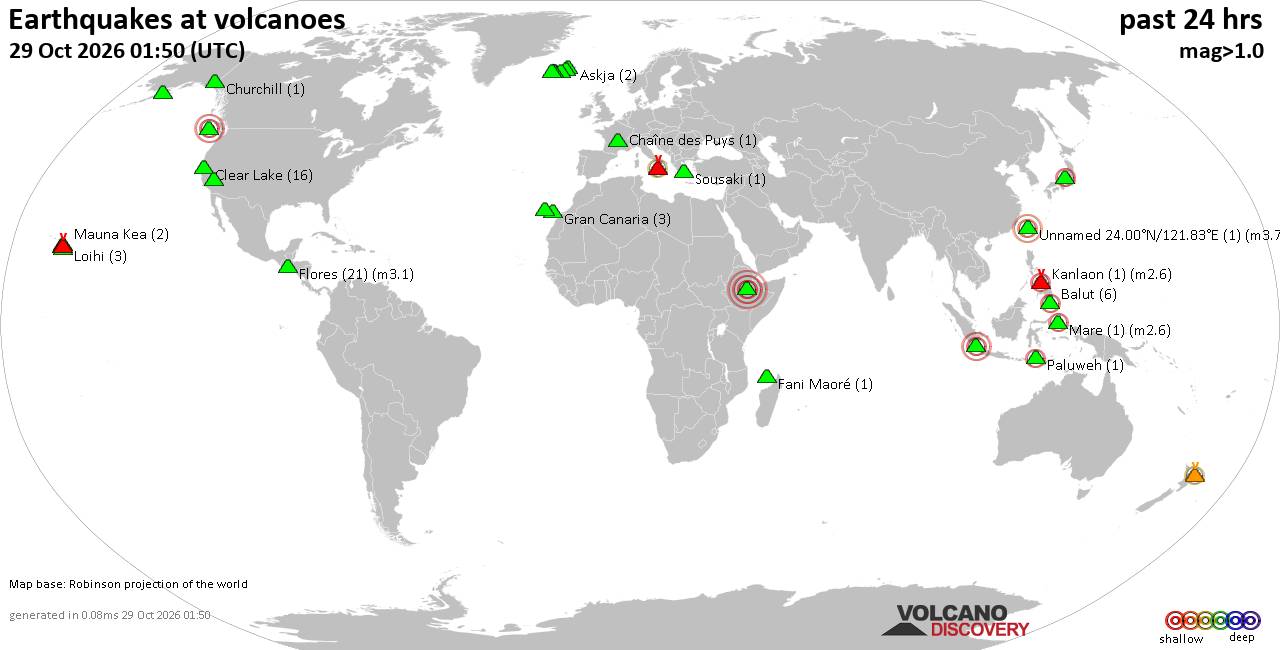
Volcano earthquake report for Thursday, 29 October 2026
• M 2.7 - 12 km SW of Ridgemark, CA
• M 0.4 - 77 km NW of Ninilchik, Alaska
• M 4.6 - Pulau Pulau Tanimbar, Indonesia
• M 5.0 - 67 km E of ‘Ohonua, Tonga
• M 1.3 - 15 km SSW of Wilson, Oklahoma
|
|
|
Joined: Feb 2001
Posts: 678,977
Launch Director
|
|
Launch Director
Joined: Feb 2001
Posts: 678,977 |
SPC Oct 29, 2026 Day 4-8 Severe Weather OutlookDay 4-8 Outlook 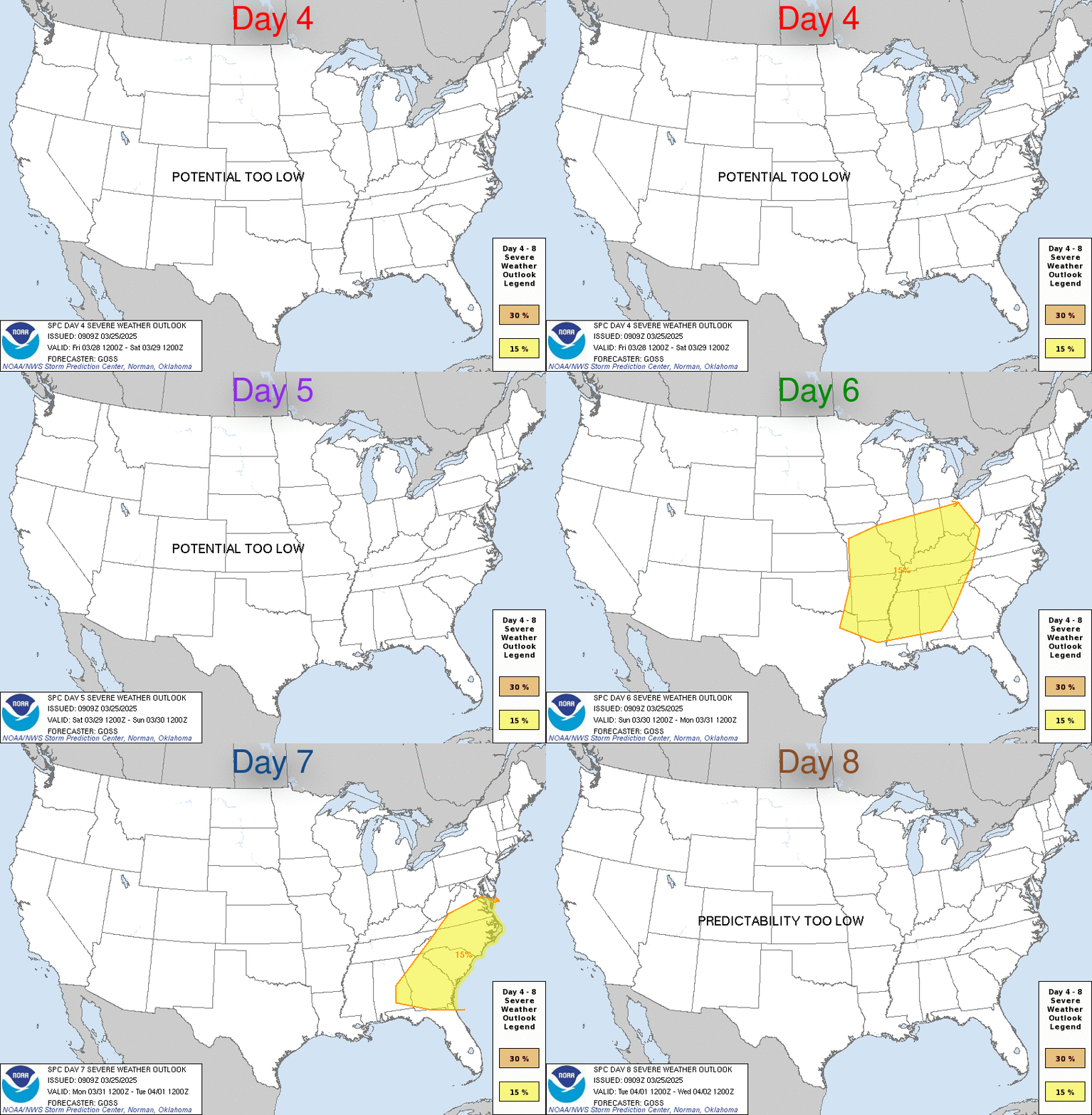
Day 4-8 Convective Outlook
NWS Storm Prediction Center Norman OK
0242 AM CDT Thu Oct 29 2026

Valid 011200Z - 061200Z

...DISCUSSION...
...Central/Southern Plains to Lower MS Valley Vicinity...

An upper trough is forecast to progress eastward from the western
states on Day 4/Sun to the MS Valley by Day 8/Thu. As this occurs, a
deepening surface cyclone will develop over the central Plains on
Sunday night into Monday and slowly shift east toward the Mid/Upper
MS Valley through Tuesday. A secondary low may also develop across
the southern Plains during this time. As the low progresses east, a
strong autumn cold fold will sweep across the Plains.

Strong south/southwesterly deep-layer flow will overspread rich
boundary layer moisture ahead of the front, and at least modest
destabilization is likely. However, deep-layer flow will be parallel
to this boundary, with a highly meridional component to deep-layer
flow. This may result in widespread heavy rain and training
precipitation, especially given this system will only slowly
progress eastward, and limit a greater severe thunderstorm risk.
Nevertheless, low severe thunderstorm potential is possible across
parts of the southern plains toward the Lower MS Valley/Gulf Coast
Monday into Tuesday, and possibly Wednesday across the Southeast. At
this time, severe potential appears too low/uncertain/conditional to
include 15 percent probabilities, but trends will continue to be
monitored for increasing severe thunderstorm chances early to
mid-week.
Read morehttps://www.spc.noaa.gov/products/exper/day4-8/
|
|



CMS The Best Conveyancing solicitors conveyancing quotes throughout the UK
For any webhosting enquiries please email webmaster@aus-city.com
|
|
Entire Thread
|

 SPC Oct 29, 2026 Day 4-8 Severe Weather Outlook |
Webmaster
|
5 hours ago
|
|
Forums60
Topics900,343
Posts935,140
Members2,960
| |
Most Online102,106
Jul 10th, 2026
|
|
|
|
|

|









































