|
0 members (),
1,757
guests, and
26
robots. |
|
Key:
Admin,
Global Mod,
Mod
|
|
S |
M |
T |
W |
T |
F |
S |
|
1
|
2
|
3
|
4
|
5
|
6
|
7
|
|
8
|
9
|
10
|
11
|
12
|
13
|
14
|
|
15
|
16
|
17
|
18
|
19
|
20
|
21
|
|
22
|
23
|
24
|
25
|
26
|
27
|
28
|
|
29
|
30
|
|
|
|
|
|
|
There are no members with birthdays on this day. |
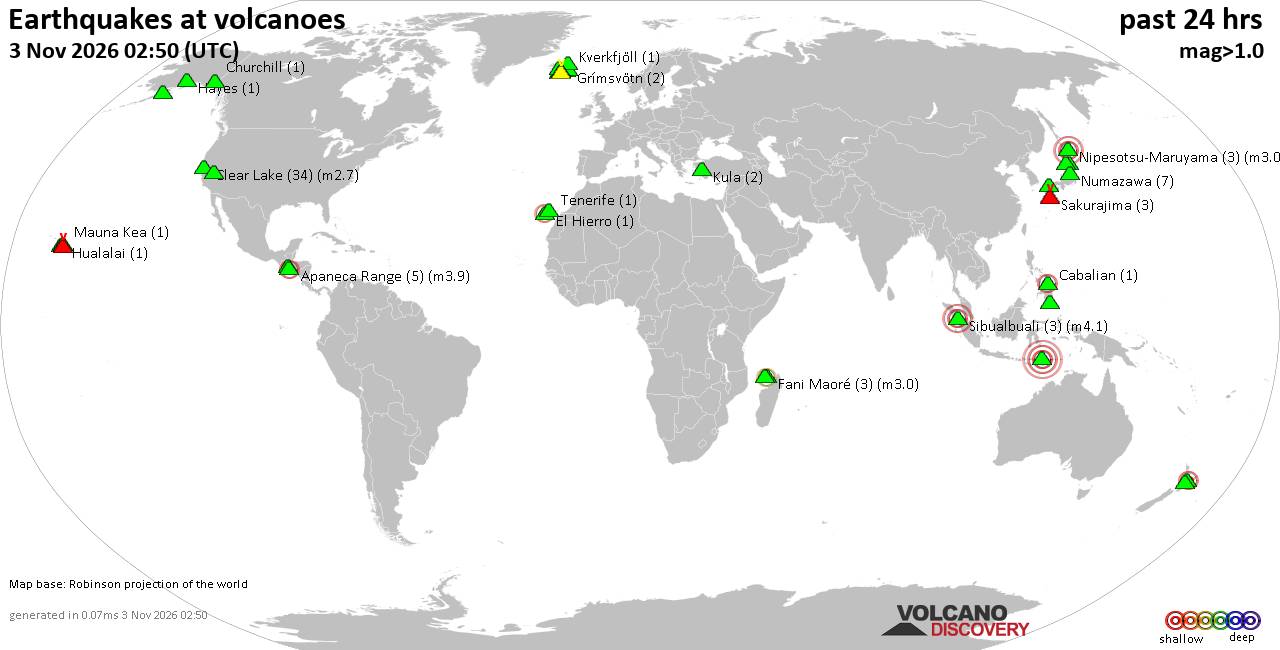
Volcano earthquake report for Tuesday, 3 November 2026
• M 1.6 - 27 km WNW of Tatitlek, Alaska
• Moderate mag. 4.3 earthquake - Huasco, 132 km southwest of Copiapo, Copiapo...
• M 0.3 - 8 km WNW of Dutch Harbor, Alaska
• M 1.6 - 5 km SSW of Brawley, CA
• M 1.8 - 5 km NE of Delta, B.C., MX
• M 4.3 - 25 km NNE of Camiña, Chile
|
|
|
Joined: Feb 2001
Posts: 678,977
Launch Director
|
|
Launch Director
Joined: Feb 2001
Posts: 678,977 |
SPC Day 3-8 Fire Weather OutlookSPC Day 3-8 Fire Weather Outlook 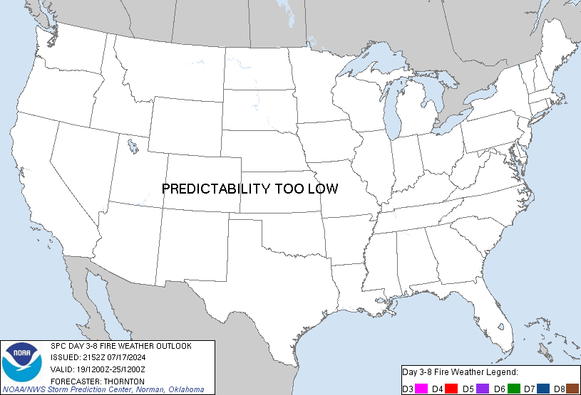
Day 3-8 Fire Weather Outlook
NWS Storm Prediction Center Norman OK
0302 PM CST Mon Nov 02 2026

Valid 041200Z - 101200Z

...Discussion...
An amplified upper trough will translate over the Upper Midwest on
Day 3/Wednesday, continuing to advect abundant Gulf moisture into
the eastern CONUS. An attendant surface low will transition into
southern Ontario, sending a cold front across the eastern states
through Day 4/Thursday. Along the front, widespread rainfall is
expected to bring some relief to drying fuels in the Appalachian
Mountains. A shortwave trough will trail the main trough, bringing
additional precipitation chances to the southern Plains and parts of
the Gulf Coast on Days 4-5/Thursday-Friday. In the wake of this
system, much of the Interior West to south/central U.S. will be
under northwest-westerly flow aloft, maintaining near-average
temperatures and mostly dry conditions. Extended guidance shows
potential for another upper trough to dive into the Great Plains
next weekend, sending another cold front through the central U.S.
Nevertheless, fire weather concerns will be reduced across almost
all CONUS locations through the forecast period given recent
rainfall and subdued fuels.

..Elizalde-Garcia.. 11/02/2026

...Please see www.spc.noaa.gov/fire for graphic product...
Read morehttps://www.spc.noaa.gov/products/exper/fire_wx/
|
|



CMS The Best Conveyancing solicitors conveyancing quotes throughout the UK
For any webhosting enquiries please email webmaster@aus-city.com
|
|
Entire Thread
|

 SPC Day 3-8 Fire Weather Outlook |
Webmaster
|
Yesterday at 09:07 PM
|
|
Forums60
Topics908,220
Posts943,017
Members2,960
| |
Most Online102,106
Jul 10th, 2026
|
|
|









































