|
|
|
0 members (),
3,839
guests, and
24
robots. |
|
Key:
Admin,
Global Mod,
Mod
|
|
S |
M |
T |
W |
T |
F |
S |
|
1
|
2
|
3
|
4
|
5
|
6
|
7
|
|
8
|
9
|
10
|
11
|
12
|
13
|
14
|
|
15
|
16
|
17
|
18
|
19
|
20
|
21
|
|
22
|
23
|
24
|
25
|
26
|
27
|
28
|
|
29
|
30
|
|
|
|
|
|
|
There are no members with birthdays on this day. |
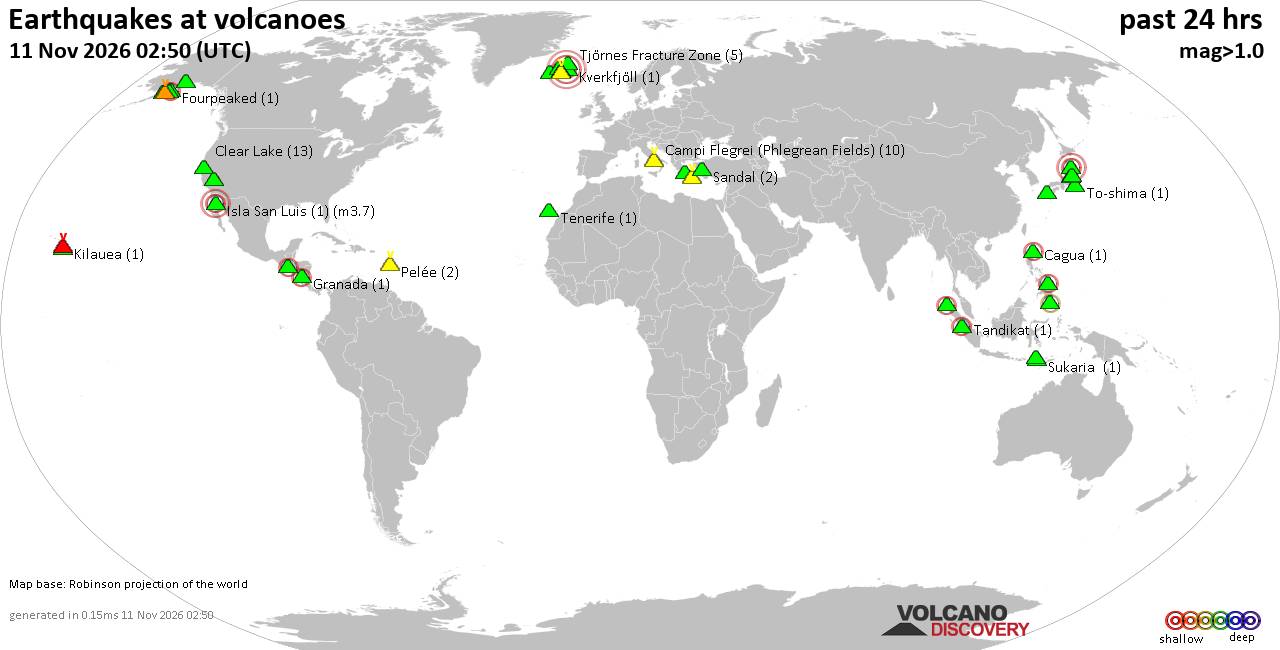
Volcano earthquake report for Wednesday, 11 November 2026
• Moderate, deep magnitude-5.4 earthquake reported 28 km southwest of Calama,...
• M 0.6 - 14 km ENE of Ridgecrest, CA
• Moderate magnitude 4.7 earthquake 89 km west of Saumlaki, Indonesia
• M 0.8 - 65 km WNW of Tyonek, Alaska
• Strong mag. 5.4 earthquake - Provincia de Tocopilla, 28 km west of Calama, ...
|
|
|
Joined: Feb 2001
Posts: 800,656
Launch Director
|
|
Launch Director
Joined: Feb 2001
Posts: 800,656 |
SPC Day 1 Fire Weather OutlookSPC Day 1 Fire Weather Outlook 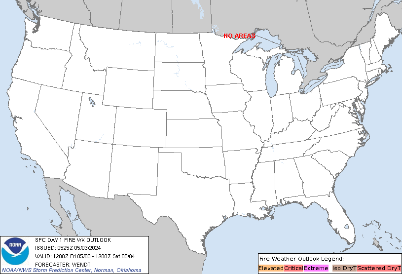
Day 1 Fire Weather Outlook
NWS Storm Prediction Center Norman OK
1122 PM CST Tue Nov 10 2026

Valid 111200Z - 121200Z

...NO CRITICAL AREAS...

...Synopsis...
The upper-level flow over the CONUS will continue to amplify with
ridging over the Intermountain West and troughing over portions of
the central/eastern US. A surface cyclone will strengthen and track
east-southeast across the Midwest into the Upper Ohio Valley. Drier
pre-frontal conditions are likely across portions of the southern
Appalachians into Georgia and South Carolina. However, there will
likely be limited overlap of moderately receptive fuels and elevated
winds/RH, thus precluding introducing any risk areas at this time.
Drier post-frontal northwesterly flow is expected on the Plains as
well, but the strongest winds (15-20 mph sustained) are likely to be
displaced from the lowest RH (20-25%), with limited receptive fuels.

..Nauslar.. 11/11/2026

...Please see www.spc.noaa.gov/fire for graphic product...
Read morehttps://www.spc.noaa.gov/products/fire_wx/fwdy1.html
|
|



CMS The Best Conveyancing solicitors conveyancing quotes throughout the UK
For any webhosting enquiries please email webmaster@aus-city.com
|
|
Entire Thread
|

 SPC Day 1 Fire Weather Outlook |
Webmaster
|
7 hours ago
|
|
Forums60
Topics921,923
Posts956,720
Members2,960
| |
Most Online102,106
Jul 10th, 2026
|
|
|
|
|

|









































