|
0 members (),
3,747
guests, and
22
robots. |
|
Key:
Admin,
Global Mod,
Mod
|
|
S |
M |
T |
W |
T |
F |
S |
|
1
|
2
|
3
|
4
|
5
|
6
|
7
|
|
8
|
9
|
10
|
11
|
12
|
13
|
14
|
|
15
|
16
|
17
|
18
|
19
|
20
|
21
|
|
22
|
23
|
24
|
25
|
26
|
27
|
28
|
|
29
|
30
|
|
|
|
|
|
|
There are no members with birthdays on this day. |
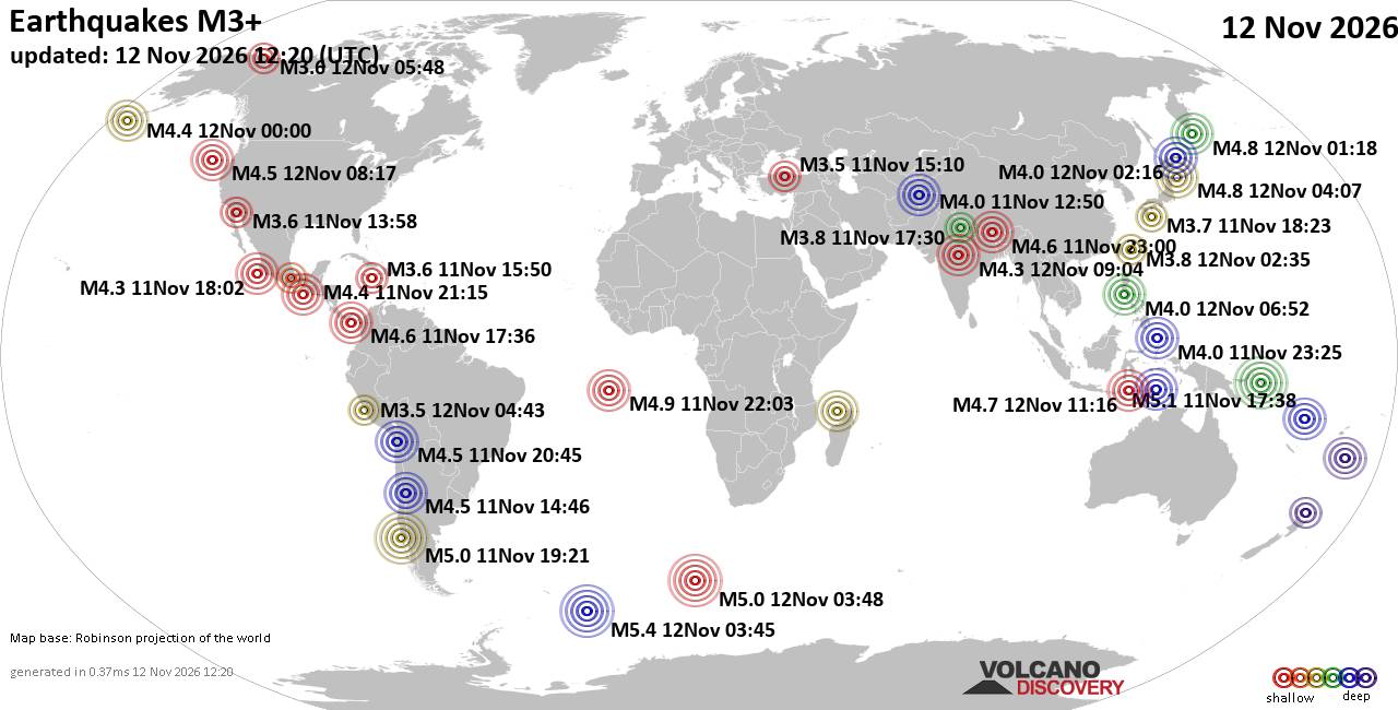
World Earthquake Report for Thursday, 12 November 2026
• M 4.5 - off the coast of Oregon
• M 1.2 - 12 km SE of Livermore, CA
• M 3.0 - 90 km S of Sand Point, Alaska
• M 4.2 - 193 km SE of Akutan, Alaska
• M 4.4 - 17 km SSE of Ikungi, Tanzania
|
|
|
Joined: Feb 2001
Posts: 800,656
Launch Director
|
|
Launch Director
Joined: Feb 2001
Posts: 800,656 |
SPC Day 2 Fire Weather OutlookSPC Day 2 Fire Weather Outlook 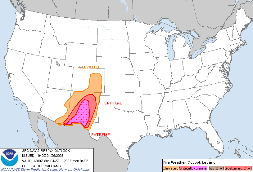
Day 2 Fire Weather Outlook
NWS Storm Prediction Center Norman OK
1140 PM CST Wed Nov 11 2026

Valid 131200Z - 141200Z

...NO CRITICAL AREAS...

...Synopsis...
A broad, deep trough will remain over the eastern US with multiple
upper lows moving onto the West Coast on Day 2/Friday. Negatively
tilted upper-level troughing will move over the West bringing rain
and snow to most of the West Coast and into the Intermountain West.
Colder, drier air will filter farther south across the eastern US
amid the continued upper-level troughing.

Dry and breezy post-frontal conditions will continue across the
Southeast on Day 2/Friday. Winds will be lighter than Day
1/Thursday, although northwest-north sustained winds of 8-15 mph and
gusts to around 20 mph remain likely. Minimum RH will once again
range from 25-40% across the region with the potential to drop to
around 20% in/around the ArkLaTex area. Locally elevated conditions
are likely, but with a forecast of weaker winds and lack of overlap
of elevated winds/RH and receptive fuels, an Elevated area was not
introduced.

..Nauslar.. 11/12/2026

...Please see www.spc.noaa.gov/fire for graphic product...
Read morehttps://www.spc.noaa.gov/products/fire_wx/fwdy2.html
|
|



CMS The Best Conveyancing solicitors conveyancing quotes throughout the UK
For any webhosting enquiries please email webmaster@aus-city.com
|
|
Entire Thread
|

 SPC Day 2 Fire Weather Outlook |
Webmaster
|
7 hours ago
|
|
Forums60
Topics923,785
Posts958,582
Members2,960
| |
Most Online102,106
Jul 10th, 2026
|
|
|









































