|
|
|
0 members (),
1,649
guests, and
21
robots. |
|
Key:
Admin,
Global Mod,
Mod
|
|
S |
M |
T |
W |
T |
F |
S |
|
1
|
2
|
3
|
4
|
5
|
6
|
7
|
|
8
|
9
|
10
|
11
|
12
|
13
|
14
|
|
15
|
16
|
17
|
18
|
19
|
20
|
21
|
|
22
|
23
|
24
|
25
|
26
|
27
|
28
|
|
29
|
30
|
|
|
|
|
|
|
There are no members with birthdays on this day. |
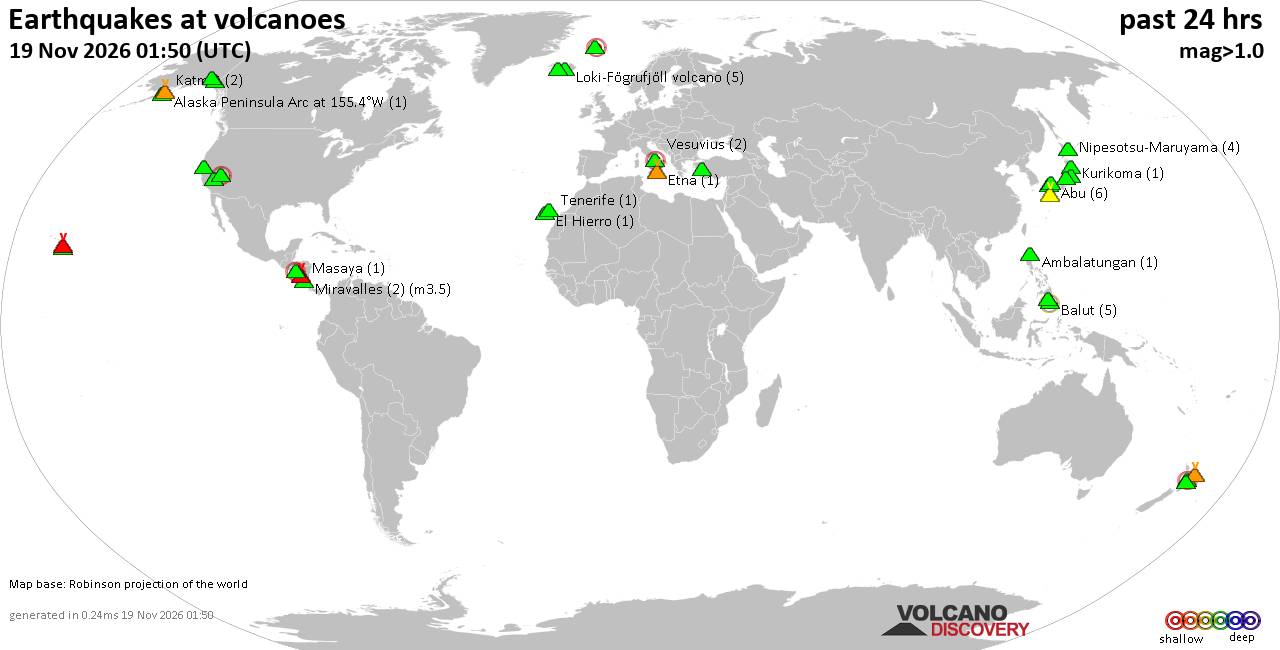
Volcano earthquake report for Thursday, 19 November 2026
• M 1.8 - 23 km WSW of Ackerly, Texas
• M 0.7 - 2 km N of The Geysers, CA
• M 1.9 - 23 km E of Beluga, Alaska
• M 1.3 - 1 km E of The Geysers, CA
• M 1.2 - 14 km NNE of Milford, Utah
|

#966542
Mon 16 Nov 2026 06:55:AM
|
Joined: Feb 2001
Posts: 800,656
Launch Director
|
|
Launch Director
Joined: Feb 2001
Posts: 800,656 |
SPC Day 1 Fire Weather OutlookSPC Day 1 Fire Weather Outlook 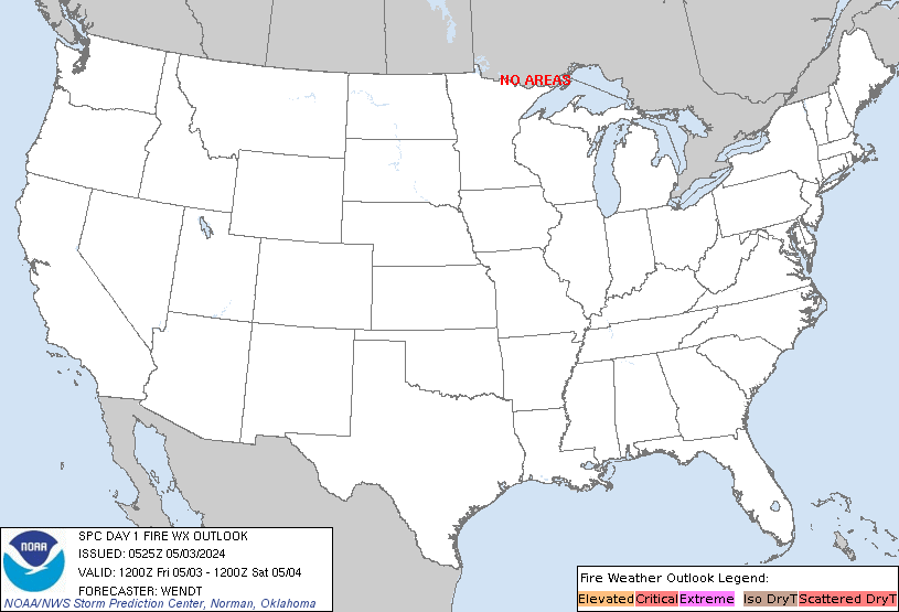
Day 1 Fire Weather Outlook
NWS Storm Prediction Center Norman OK
1252 AM CST Mon Nov 16 2026

Valid 161200Z - 171200Z

...NO CRITICAL AREAS...

...Synopsis...
A robust upper trough will pivot onshore of the West Coast today,
with downstream ridging shifting eastward into the southern/central
Rockies and much of the Great Plains. This will bring continued
chances for precipitation across much of the West Coast and Great
Basin. Farther east, a separate upper trough will continue to push
offshore of the East Coast, with a trailing shortwave lingering over
parts of the Southeast. Surface high pressure will remain positioned
over the Ohio Valley, with modestly warming daytime temperatures and
dry conditions forecast to continue across parts of the Southeast,
lower Mississippi Valley, and the Ozarks. Minimum RH values are
likely to range from 20-35% across these regions, but light surface
winds (less than 10 mph) will suppress widespread fire weather
concerns.

..Chalmers.. 11/16/2026

...Please see www.spc.noaa.gov/fire for graphic product...
Read morehttps://www.spc.noaa.gov/products/fire_wx/fwdy1.html
|
|



CMS The Best Conveyancing solicitors conveyancing quotes throughout the UK
For any webhosting enquiries please email webmaster@aus-city.com
|
|
Entire Thread
|
 SPC Day 1 Fire Weather Outlook |
Webmaster
|
Mon 16 Nov 2026 06:55:AM
|
|
Forums60
Topics936,067
Posts970,864
Members2,960
| |
Most Online102,106
Jul 10th, 2026
|
|
|
|
|

|









































