|
0 members (),
1,780
guests, and
27
robots. |
|
Key:
Admin,
Global Mod,
Mod
|
|
S |
M |
T |
W |
T |
F |
S |
|
1
|
2
|
3
|
4
|
5
|
6
|
7
|
|
8
|
9
|
10
|
11
|
12
|
13
|
14
|
|
15
|
16
|
17
|
18
|
19
|
20
|
21
|
|
22
|
23
|
24
|
25
|
26
|
27
|
28
|
|
29
|
30
|
|
|
|
|
|
|
There are no members with birthdays on this day. |
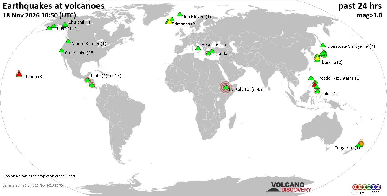
Volcano earthquake report for Wednesday, 18 November 2026
• M 2.4 - 6 km W of Cleveland, North Carolina
• M 4.9 - 43 km NW of Oxford, New Zealand
• M 5.3 - 16 km ESE of Comandău, Romania
• M 4.4 - 6 km ENE of Bachajón, Mexico
• M 1.8 - 8 km S of Pāhala, Hawaii
|
|
|
Joined: Feb 2001
Posts: 800,656
Launch Director
|
|
Launch Director
Joined: Feb 2001
Posts: 800,656 |
SPC Day 1 Fire Weather OutlookSPC Day 1 Fire Weather Outlook 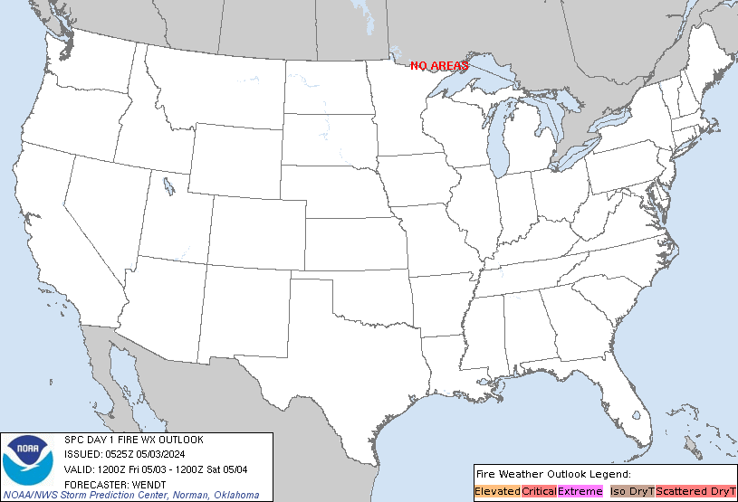
Day 1 Fire Weather Outlook
NWS Storm Prediction Center Norman OK
1151 PM CST Tue Nov 17 2026

Valid 181200Z - 191200Z

...Synopsis...
A negatively-tilted upper trough and attendant mid-level jet will
eject into the central and northern Plains today. A related
deepening surface low will translate northeastward towards the
ND/Canadian border by tonight. A surface anticylone over the Mid
Atlantic will be accompanied by an upper ridge over the eastern U.S.
leading to warm and dry conditions for the region.

...Colorado Front Range and portions of the Central Plains...
Strong, post-post frontal westerly winds of 25-35 mph with gusts to
50 mph will evolve through the morning hours across southeastern WY
and much of western NE. Downslope drying will yield RH as low as 10%
along and adjacent to the CO Front Range with the strongest winds
displaced farther north across southeastern WY/western/central NE
where RH reductions will be limited to between 20% and 25%. The
central High Plains have observed several days of sub-freezing
temperatures since early November which has contributed to pockets
of dormant/cured fine fuels across the region, although the overall
fuelscape lacks critical dryness necessary for more significant
wildfire growth. Elevated highlights have been introduced into
portions of southeastern WY, western/central NE and southward along
and east the CO Front Range for the increased fire weather concerns
where they align with drier fuels.

Broad surface high pressure across the eastern U.S. will promote
warming temperatures and dry conditions across much of the Southeast
and into the Appalachians where fuels are notably dry. Weak surface
pressure gradients will promote light winds, limiting the overall
fire weather threat within this region.

..Williams.. 11/18/2026

...Please see www.spc.noaa.gov/fire for graphic product...
Read morehttps://www.spc.noaa.gov/products/fire_wx/fwdy1.html
|
|



CMS The Best Conveyancing solicitors conveyancing quotes throughout the UK
For any webhosting enquiries please email webmaster@aus-city.com
|
|
Entire Thread
|

 SPC Day 1 Fire Weather Outlook |
Webmaster
|
7 hours ago
|
|
Forums60
Topics933,619
Posts968,416
Members2,960
| |
Most Online102,106
Jul 10th, 2026
|
|
|









































