|
|
|
0 members (),
4,764
guests, and
23
robots. |
|
Key:
Admin,
Global Mod,
Mod
|
|
S |
M |
T |
W |
T |
F |
S |
|
|
|
|
1
|
2
|
3
|
4
|
|
5
|
6
|
7
|
8
|
9
|
10
|
11
|
|
12
|
13
|
14
|
15
|
16
|
17
|
18
|
|
19
|
20
|
21
|
22
|
23
|
24
|
25
|
|
26
|
27
|
28
|
29
|
30
|
31
|
|
|
There are no members with birthdays on this day. |

Volcano earthquake report for Friday, 10 Jul 2026
• Moderate mag. 4.2 earthquake - 133 km northwest of Ternate, Kota Ternate, N...
• World Earthquake Report for Friday, 10 July 2026
• Moderate mag. 4.6 earthquake - 17 km southwest of Comalapa, Estado de Chiap...
• Moderate mag. 4.1 earthquake - Olyutorskiy Rayon, 47 km northwest of Tilich...
• Moderate mag. 4.0 earthquake - Hawke's Bay, New Zealand, on Saturday, Jul 1...
|

#673437
Mon 03 Oct 2022 11:42:AM
|
Joined: Feb 2001
Posts: 678,976
Launch Director
|
OP

Launch Director
Joined: Feb 2001
Posts: 678,976 |
NHC Atlantic Outlook
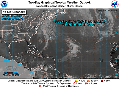
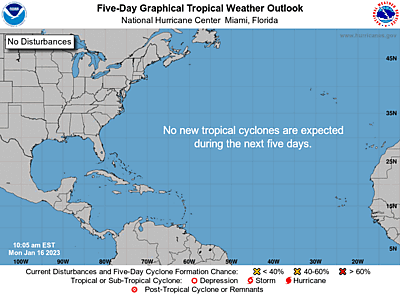
ZCZC MIATWOAT ALL
TTAA00 KNHC DDHHMM
Tropical Weather Outlook
NWS National Hurricane Center Miami FL
800 AM EDT Mon Oct 3 2022
For the North Atlantic...Caribbean Sea and the Gulf of Mexico:
1. Eastern Tropical Atlantic:
An elongated area of low pressure located a few hundred miles
south-southwest of the Cabo Verde Islands continues to produce
disorganized showers and thunderstorms. Environmental conditions
are forecast to be favorable for some gradual development, and a
tropical depression is likely to form around the middle part of this
week. Further development will become less likely by the end of the
week due to increasing upper-level winds. The system is forecast to
move westward, then turn northwestward or northward by the end of
the week over the eastern tropical Atlantic.
* Formation chance through 48 hours...medium...50 percent.
* Formation chance through 5 days...high...70 percent.
2. East of the Windward Islands:
Showers and thunderstorms associated with a tropical wave located
several hundred miles east of the southern Windward Islands have
become slightly better organized since yesterday. Some further
development of the wave is possible, and a tropical depression
could form within the next few days while it moves generally
westward at 15 to 20 mph, reaching the Windward Islands and the
eastern Caribbean Sea by midweek. Interests in the Windward Islands
should monitor the progress of the system.
* Formation chance through 48 hours...low...30 percent.
* Formation chance through 5 days...medium...40 percent.
Forecaster Hagen/Brown
|
|



CMS The Best Conveyancing solicitors conveyancing quotes throughout the UK
For any webhosting enquiries please email webmaster@aus-city.com
|
|
Forums60
Topics789,765
Posts824,543
Members2,960
| |
Most Online102,106
Jul 10th, 2026
|
|
|
|
|
Copyright 1996 - 2026 by David Cottle. Designed by David Bate Jr. All Rights Reserved.
By using this forum, the user agrees not to transfer any data or technical information received under this agreement to any other entity without the express approval of the AUS-CITY Forum Admins and/or authors of individual posts (Forum Admins and DoD/USSPACECOM for the analysis of satellite tracking data).
Two-line elements (TLE) and all other satellite data presented and distributed via this forum and AUS-CITY mailing lists are distributed with permission from DoD/USSTRATCOM.

|

|




































