|
|
|
0 members (),
2,421
guests, and
26
robots. |
|
Key:
Admin,
Global Mod,
Mod
|
|
S |
M |
T |
W |
T |
F |
S |
|
1
|
2
|
3
|
4
|
5
|
6
|
7
|
|
8
|
9
|
10
|
11
|
12
|
13
|
14
|
|
15
|
16
|
17
|
18
|
19
|
20
|
21
|
|
22
|
23
|
24
|
25
|
26
|
27
|
28
|
|
There are no members with birthdays on this day. |

#695315
Wed 02 Aug 2023 08:17:AM
|
Joined: Feb 2001
Posts: 381,904
Launch Director
|
OP

Launch Director
Joined: Feb 2001
Posts: 381,904 |
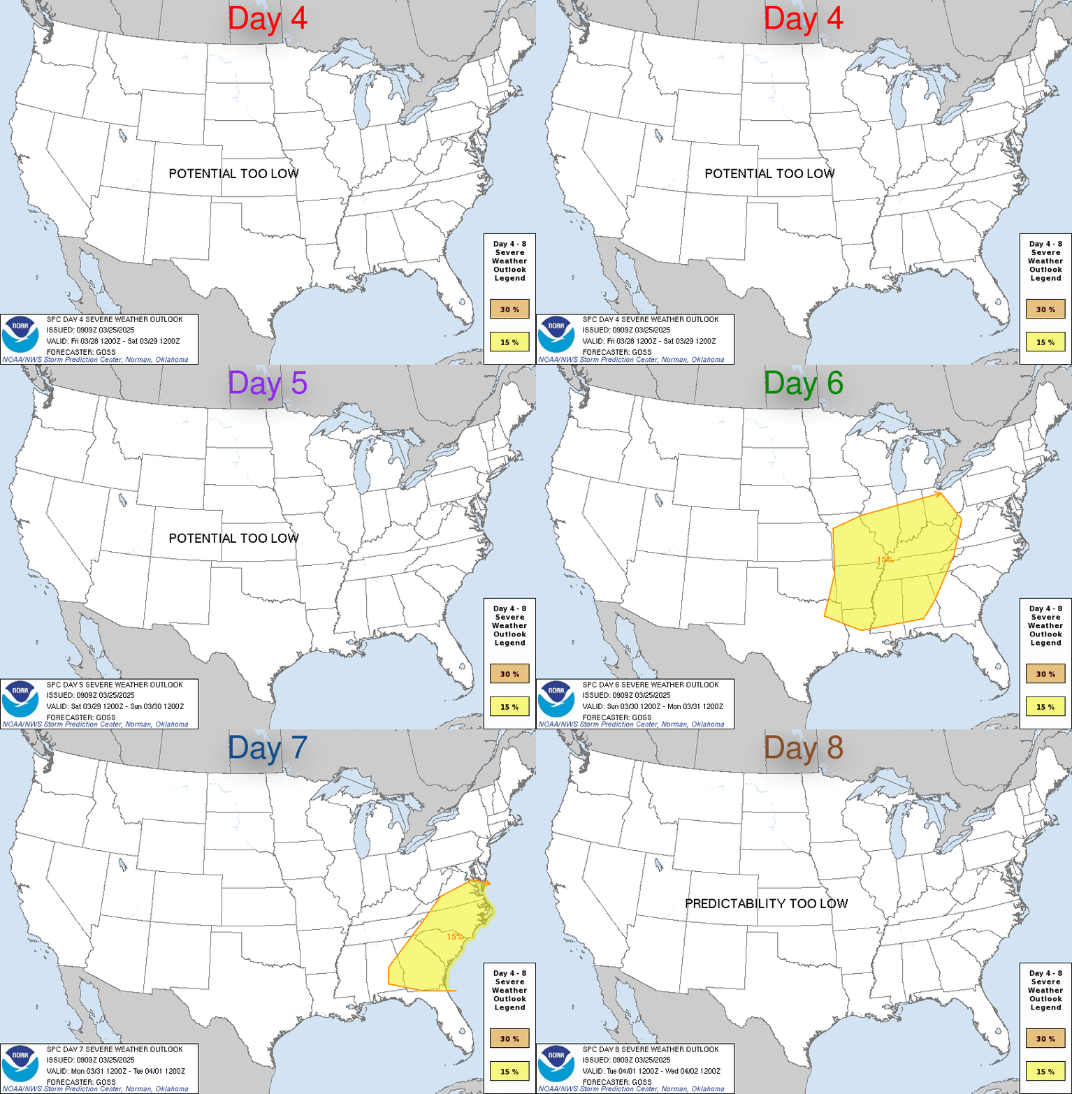
SPC Aug 2, 2023 Day 4-8 Severe Weather OutlookDay 4-8 Outlook 
Day 4-8 Convective Outlook
NWS Storm Prediction Center Norman OK
0314 AM CDT Wed Aug 02 2023

Valid 051200Z - 101200Z

...DISCUSSION...
...Day 4/Sat - Central Plains vicinity...

Forecast guidance has trended toward a less amplified midlevel
trough migrating across the northern Plains on Saturday.
Nevertheless, a belt of enhanced westerly flow will still reside
over the central Plains while a weak surface low shifts east in the
vicinity of the NE/SD border. A very moist boundary layer,
supporting moderate to strong instability beneath moderate midlevel
flow, will support organized thunderstorm develop by late afternoon.
A cold front is expected to shift east/southeast across the central
Plains toward the Lower MO Valley during the evening/overnight.
Development of a severe MCS appears possible, bringing a
damaging-wind risk to portions of NE/KS.

...Day 5/Sun - Mid-South to Mid-MS/Lower OH Valleys...

The central Plains midlevel trough and surface low will continue
east on Day 5/Sun, moving across portions of the Midwest. Forecast
guidance varies with intensity of the shortwave trough and the
location of the surface low. Nevertheless, a moist and unstable
airmass, with at least some enhancement to mid/upper flow, will
exist from the Mid-South toward the Lower OH Valley. While
confidence is too low to delineate a 15 percent severe area at this
time, some severe potential is likely ahead of the
eastward-advancing cold front and any ongoing MCS Sunday morning.
Severe probabilities likely will be needed once confidence increases
in a more focused corridor of greater severe potential across this
broad region.

...Days 6-8/Mon-Wed...

Some degree of mid/upper troughing will continue eastward across the
Midwest toward the eastern U.S. early next week. Large model spread
lends to much uncertainty in this time frame. However, some severe
potential could spread across parts of the Mid-Atlantic and
Northeast on Day 6/Mon depending on the track/timing of the surface
low and cold front mentioned in the Days 4-5/Sat-Sun time frame.
Many days of convection prior to early next week, and uncertainty
regarding evolution of any MCSs from the Day 4-5 period, make
predictability too low to include probabilities at this time.
Read morehttps://www.spc.noaa.gov/products/exper/day4-8/
|
|


CMS The Best Conveyancing solicitors conveyancing quotes throughout the UK
For any webhosting enquiries please email webmaster@aus-city.com
|
|
Forums60
Topics761,323
Posts796,051
Members2,957
| |
Most Online17,963
Jan 15th, 2026
|
|
|
|
|
Copyright 1996 - 2026 by David Cottle. Designed by David Bate Jr. All Rights Reserved.
By using this forum, the user agrees not to transfer any data or technical information received under the agreement, to any other entity without the express approval of the AUS-CITY Forum Admins and/or authors of individual posts (Forum Admins and DoD/USSPACECOM for the analysis of satellite tracking data).
Two-line elements (TLE) and all other satellite data presented and distributed via this forum and e-mail lists of AUS-CITY are distributed with permission from DoD/USSTRATCOM.


Reprise Hosting


|

|