|
|
|
0 members (),
2,434
guests, and
26
robots. |
|
Key:
Admin,
Global Mod,
Mod
|
|
S |
M |
T |
W |
T |
F |
S |
|
|
|
1
|
2
|
3
|
4
|
5
|
|
6
|
7
|
8
|
9
|
10
|
11
|
12
|
|
13
|
14
|
15
|
16
|
17
|
18
|
19
|
|
20
|
21
|
22
|
23
|
24
|
25
|
26
|
|
27
|
28
|
29
|
30
|
|
|
|
|
There are no members with birthdays on this day. |
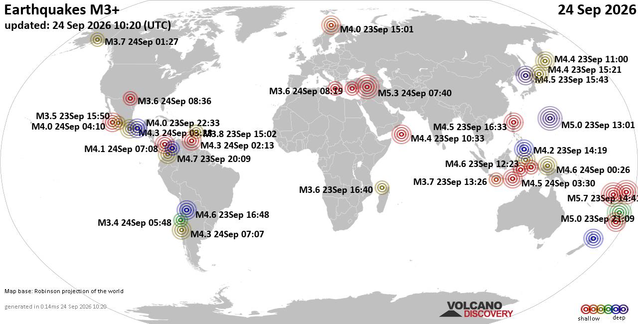
World Earthquake Report for Thursday, 24 September 2026
• Moderate mag. 4.3 earthquake - Madagascar: Mozambique Channel on Thursday, ...
• Small magnitude 3.9 earthquake hits near Hastings, Hastings District, Hawke...
• Volcano earthquake report for Thursday, 24 September 2026
• Light mag. 3.9 earthquake - South Pacific Ocean, 10.2 km south of Hastings,...
• Moderate magnitude 4.1 quake hits 31 miles southeast of Midland, Texas, Uni...
|

#732017
Tue 27 Aug 2024 04:47:PM
|
Joined: Feb 2001
Posts: 678,977
Launch Director
|
|
Launch Director
Joined: Feb 2001
Posts: 678,977 |
SPC Aug 27, 2024 1630 UTC Day 1 Convective OutlookSPC 1630Z Day 1 Outlook 
Day 1 Convective Outlook
NWS Storm Prediction Center Norman OK
1142 AM CDT Tue Aug 27 2024

Valid 271630Z - 281200Z

...THERE IS A SLIGHT RISK OF SEVERE THUNDERSTORMS ACROSS THE GREAT
LAKES AND MIDWEST...

...SUMMARY...
Severe thunderstorms capable of damaging thunderstorm winds and
occasional large hail are possible across the Great Lakes region and
portions of the Midwest through tonight.

...Great Lakes/Midwest/Central Plains...
A rather complex mesoscale scenario exists particularly across the
Great Lakes region, influenced by multiple MCSs/outflows since last
evening. Multiple MCVs are apparent across the region including
western Upper Michigan, potentially including an MCV with evolving
asymmetric quasi-linear convection across east-central Wisconsin
late this morning. Within a zone of pre-frontal confluence/augmented
outflow, MCS persistence and further upscale/southward peripheral
growth is possible into Lower Michigan/northern Illinois into a very
unstable air mass, but this is far from certain. For additional
short-term information, see Mesoscale Discussion 2013.

Where storm clusters do develop and intensify regionally, ample
buoyancy, particularly south of the aforementioned late-morning MCS,
and sufficient deep-layer shear will support damaging wind and
isolated large hail potential. The severe threat could reach as far
as the Lake Ontario vicinity late tonight/early Wednesday.

Farther southwest, nearer to the cold front and potentially
augmented by residual outflow, CAPE and especially vertical shear
will be weaker from southeast Iowa/western Illinois into northern
Missouri and eastern Kansas/southeast Nebraska. A few organized
multicells are possible atop a strongly heated boundary layer, with
strong wind gusts and severe hail possible.

..Guyer/Wendt.. 08/27/2024
Read morehttps://www.spc.noaa.gov/products/outlook/day1otlk_1630.html
|
|



CMS The Best Conveyancing solicitors conveyancing quotes throughout the UK
For any webhosting enquiries please email webmaster@aus-city.com
|
|
Forums60
Topics840,517
Posts875,312
Members2,960
| |
Most Online102,106
Jul 10th, 2026
|
|
|
|
|

|





































