|
|
|
0 members (),
335
guests, and
21
robots. |
|
Key:
Admin,
Global Mod,
Mod
|
|
S |
M |
T |
W |
T |
F |
S |
|
|
|
|
|
1
|
2
|
3
|
|
4
|
5
|
6
|
7
|
8
|
9
|
10
|
|
11
|
12
|
13
|
14
|
15
|
16
|
17
|
|
18
|
19
|
20
|
21
|
22
|
23
|
24
|
|
25
|
26
|
27
|
28
|
29
|
30
|
31
|
|
There are no members with birthdays on this day. |

#734595
Fri 06 Sep 2024 08:48:PM
|
Joined: Feb 2001
Posts: 381,904
Launch Director
|
OP

Launch Director
Joined: Feb 2001
Posts: 381,904 |
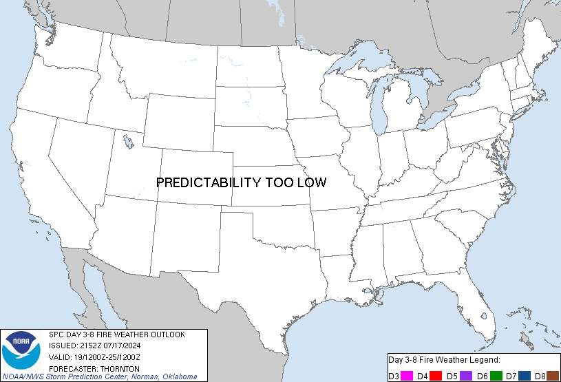
SPC Day 3-8 Fire Weather OutlookSPC Day 3-8 Fire Weather Outlook 
Day 3-8 Fire Weather Outlook
NWS Storm Prediction Center Norman OK
0343 PM CDT Fri Sep 06 2024

Valid 081200Z - 141200Z

Fire weather concerns will be focused in the Northwest and northern
parts of the Great Basin this weekend into early next week. Some
concerns for dry thunderstorms may also be present in the northern
Great Basin into the northern Rockies this weekend as well. The
greatest potential for critical fire weather currently appears to be
in the Great Basin early to mid next week as a seasonably strong
trough digs into the Western U.S.

...Great Basin...
Fire weather concerns will begin to increase on Sunday as modest
influence of the shortwave in the Northwest will increase surface
winds in northern Nevada into parts of southern Idaho. A similar
scenario will unfold on Monday as well. Greater fire weather
concerns will develop on Tuesday into Wednesday as the stronger West
Coast trough digs into the region. There will be potential for areas
of critical fire weather both days. Greater probabilities may be
needed depending on trends in guidance in the coming days.

...Northwest...
As the shortwave trough continues slowly eastward this weekend,
there will be at least low potential for isolated thunderstorms on
Sunday. Confidence in coverage is too low for highlights. With the
trough approaching the area, westerly winds are expected to increase
on Monday. This will lead to an increase in fire weather concerns
considering the ongoing fires and thunderstorm potential in
preceding days. Some humidity recovery will eventually occur as
marine influence will increase with time. However, at least elevated
conditions can be expected east of the Cascades.

...Idaho/Southwest Montana...
Isolated thunderstorms are possible on Sunday as the subtle
shortwave trough moves through the area. Forecast soundings suggest
mid/high-level cloud cover and there is also potential for smoke in
the region given ongoing fires locally and to the west. Highlights
will be withheld for now given the uncertainty in coverage. As the
second trough approaches the Northwest, some subtle forcing may
promote thunderstorm development in Southwest Montana on Tuesday as
well. Coverage still appears too isolated for highlights.

...Central/Northern Plains...
As the trough moves into the Great Basin Wednesday/Thursday, some
increase in southerly winds can be expected in the Plains. While
moisture return will occur, a zone of drier air will remain in
portions of the central/northern Plains. Given pockets of dry fuels
in eastern Kansas into Nebraska and perhaps southern South Dakota,
some potential for elevated fire weather will exist as the surface
low deepens and surface winds increase. Placement and strength of
the surface low differs in guidance to a degree that reduces
confidence below 40%.

..Wendt.. 09/06/2024

...Please see www.spc.noaa.gov/fire for graphic product...
Read morehttps://www.spc.noaa.gov/products/exper/fire_wx/
|
|


CMS The Best Conveyancing solicitors conveyancing quotes throughout the UK
For any webhosting enquiries please email webmaster@aus-city.com
|
|
Forums60
Topics725,625
Posts760,241
Members2,958
| |
Most Online4,158
Jun 21st, 2024
|
|
|
|
|
Copyright 1996 - 2024 by David Cottle. Designed by David Bate Jr. All Rights Reserved.
By using this forum, the user agrees not to transfer any data or technical information received under the agreement, to any other entity without the express approval of the AUS-CITY Forum Admins and/or authors of individual posts (Forum Admins and DoD/USSPACECOM for the analysis of satellite tracking data).
Two-line elements (TLE) and all other satellite data presented and distributed via this forum and e-mail lists of AUS-CITY are distributed with permission from DoD/USSTRATCOM.


Reprise Hosting


|

|