|
0 members (),
2,616
guests, and
18
robots. |
|
Key:
Admin,
Global Mod,
Mod
|
|
S |
M |
T |
W |
T |
F |
S |
|
|
|
1
|
2
|
3
|
4
|
5
|
|
6
|
7
|
8
|
9
|
10
|
11
|
12
|
|
13
|
14
|
15
|
16
|
17
|
18
|
19
|
|
20
|
21
|
22
|
23
|
24
|
25
|
26
|
|
27
|
28
|
29
|
30
|
|
|
|
|
There are no members with birthdays on this day. |

Small magnitude 3.6 earthquake strikes near Great Falls, Cascade County, Montana, USA
• Volcano earthquake report for Friday, 18 September 2026
• Possible earthquake reported minutes ago near Great Falls, Montana, USA
• Magnitude 4.6 earthquake strikes near Ponce, Segundo Barrio, Ponce Municipi...
• Small magnitude 3.4 earthquake strikes near Skegness, Lincolnshire, England...
• World Earthquake Report for Friday, 18 September 2026
|

#736238
Wed 11 Sep 2024 08:56:PM
|
Joined: Feb 2001
Posts: 678,977
Launch Director
|
|
Launch Director
Joined: Feb 2001
Posts: 678,977 |
NHC Atlantic Outlook
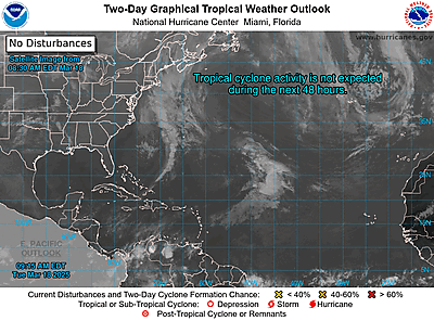
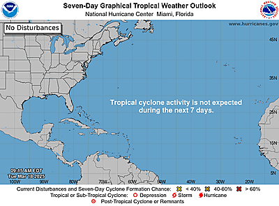
ZCZC MIATWOAT ALL
TTAA00 KNHC DDHHMM
Tropical Weather Outlook
NWS National Hurricane Center Miami FL
Issued by the NWS Weather Prediction Center College Park MD
200 PM EDT Wed Sep 11 2024
For the North Atlantic...Caribbean Sea and the Gulf of Mexico:
Active Systems:
The National Hurricane Center is issuing advisories on Hurricane
Francine, located just south of Louisiana, and on newly formed
Tropical Depression Seven located over the eastern Atlantic Ocean.
1. Central Tropical Atlantic (AL92):
An area of low pressure located over the central tropical
Atlantic continues to produce some disorganized shower and
thunderstorm activity. Environmental conditions appear marginally
conducive for some slight development during the next day or two
while the system moves west-northwestward at 5 to 10 mph over the
central tropical Atlantic. The disturbance is expected to reach an
area of stronger upper-level winds on Friday, likely ending its
chances for development.
* Formation chance through 48 hours...low...30 percent.
* Formation chance through 7 days...low...30 percent.
2. East of the Leeward Islands (AL94):
A small but well-defined area of low pressure located several
hundred miles to the east of the Leeward Islands is producing
limited shower and thunderstorm activity. The proximity of dry
air near the system is expected to limit additional development
over the next couple of days before environmental conditions
become even less conducive by this weekend while it moves slowly
west-northwestward.
* Formation chance through 48 hours...low...10 percent.
* Formation chance through 7 days...low...10 percent.
3. Offshore the Southeastern U.S. over the Western Atlantic:
In a few days, a non-tropical area of low pressure could form along
a residual frontal boundary a few hundred miles off the
southeastern U.S. coastline. Thereafter, some subtropical or
tropical development is possible during the early part of next week
while the system drifts to the north or northwest.
* Formation chance through 48 hours...low...near 0 percent.
* Formation chance through 7 days...low...30 percent.
Public Advisories on Tropical Depression Seven are issued
under WMO header WTNT32 KNHC and under AWIPS header MIATCPAT2.
Forecast/Advisories on Tropical Depression Seven are issued
under WMO header WTNT22 KNHC and under AWIPS header MIATCMAT2.
Forecaster Bann/Blake
|
|



CMS The Best Conveyancing solicitors conveyancing quotes throughout the UK
For any webhosting enquiries please email webmaster@aus-city.com
|
|
Forums60
Topics830,851
Posts865,646
Members2,960
| |
Most Online102,106
Jul 10th, 2026
|
|
|





































