|
|
|
0 members (),
2,222
guests, and
23
robots. |
|
Key:
Admin,
Global Mod,
Mod
|
|
S |
M |
T |
W |
T |
F |
S |
|
1
|
2
|
3
|
4
|
5
|
6
|
7
|
|
8
|
9
|
10
|
11
|
12
|
13
|
14
|
|
15
|
16
|
17
|
18
|
19
|
20
|
21
|
|
22
|
23
|
24
|
25
|
26
|
27
|
28
|
|
There are no members with birthdays on this day. |

#738350
Wed 18 Sep 2024 12:00:AM
|
Joined: Feb 2001
Posts: 381,904
Launch Director
|
OP

Launch Director
Joined: Feb 2001
Posts: 381,904 |
SPC MD 2082MD 2082 CONCERNING SEVERE THUNDERSTORM WATCH 674...675... FOR CENTRAL HIGH PLAINS 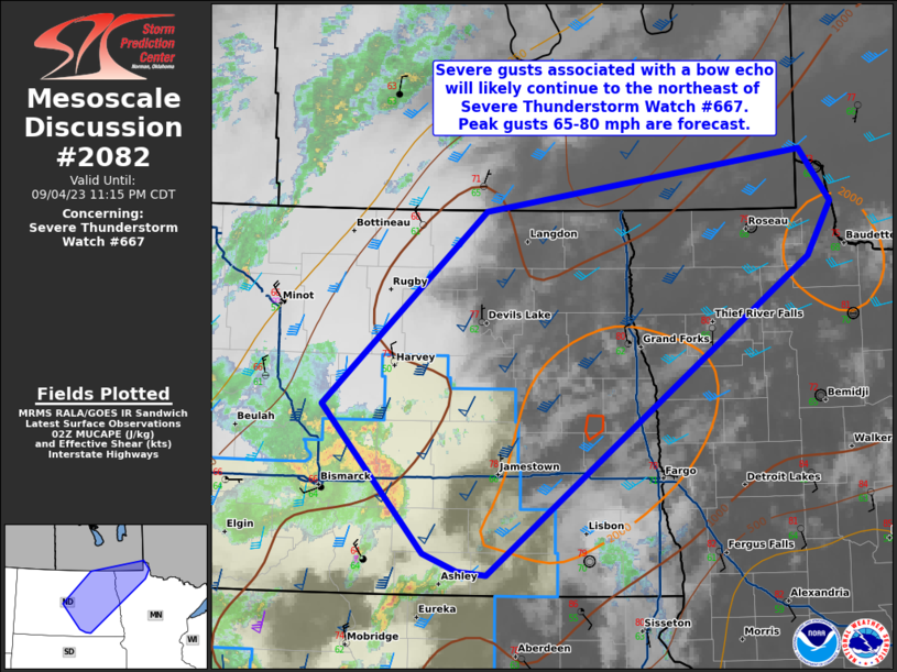
Mesoscale Discussion 2082
NWS Storm Prediction Center Norman OK
0641 PM CDT Tue Sep 17 2024

Areas affected...Central High Plains

Concerning...Severe Thunderstorm Watch 674...675...

Valid 172341Z - 180145Z

The severe weather threat for Severe Thunderstorm Watch 674, 675
continues.

SUMMARY...Strong winds are the primary risk along the leading edge
of a squall line as it propagates across the central High Plains.

DISCUSSION...Early-evening water-vapor imagery suggests mid-level
short-wave trough is located over southeast CO, ejecting northeast
into the central High Plains. Organized convection has evolved ahead
of this feature, primarily expressed as a squall line which extends
from southwest Yuma County CO-Baca County CO. Strong winds are
likely associated with this squall line, and this is the primary
risk as the squall line advances into western KS/southwest NE over
the next 1-2 hours.

..Darrow.. 09/17/2024

...Please see www.spc.noaa.gov for graphic product...

ATTN...WFO...LBF...DDC...GLD...PUB...BOU...

LAT...LON   37460250 39190230 40240282 40790133 39720082 37380154
            37460250
Read morehttps://www.spc.noaa.gov/products/md/md2082.html
|
|


CMS The Best Conveyancing solicitors conveyancing quotes throughout the UK
For any webhosting enquiries please email webmaster@aus-city.com
|
|
Forums60
Topics762,137
Posts796,866
Members2,957
| |
Most Online17,963
Jan 15th, 2026
|
|
|
|
|
Copyright 1996 - 2026 by David Cottle. Designed by David Bate Jr. All Rights Reserved.
By using this forum, the user agrees not to transfer any data or technical information received under the agreement, to any other entity without the express approval of the AUS-CITY Forum Admins and/or authors of individual posts (Forum Admins and DoD/USSPACECOM for the analysis of satellite tracking data).
Two-line elements (TLE) and all other satellite data presented and distributed via this forum and e-mail lists of AUS-CITY are distributed with permission from DoD/USSTRATCOM.

Reprise Hosting

|

|


 - Click image for larger picture.")


