|
|
|
0 members (),
960
guests, and
35
robots. |
|
Key:
Admin,
Global Mod,
Mod
|
|
S |
M |
T |
W |
T |
F |
S |
|
|
1
|
2
|
3
|
4
|
5
|
6
|
|
7
|
8
|
9
|
10
|
11
|
12
|
13
|
|
14
|
15
|
16
|
17
|
18
|
19
|
20
|
|
21
|
22
|
23
|
24
|
25
|
26
|
27
|
|
28
|
29
|
30
|
31
|
|
|
|
|
There are no members with birthdays on this day. |

#739460
Thu 26 Sep 2024 09:11:PM
|
Joined: Feb 2001
Posts: 381,904
Launch Director
|
OP

Launch Director
Joined: Feb 2001
Posts: 381,904 |
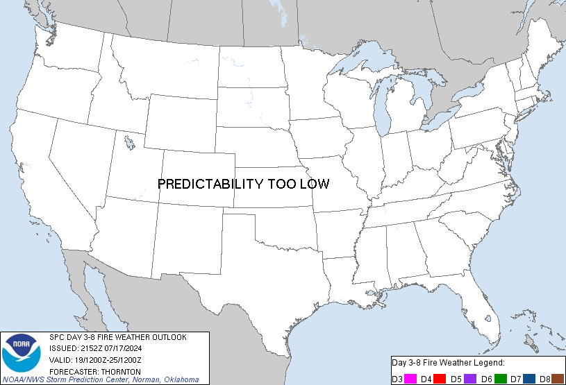
SPC Day 3-8 Fire Weather OutlookSPC Day 3-8 Fire Weather Outlook 
Day 3-8 Fire Weather Outlook
NWS Storm Prediction Center Norman OK
0406 PM CDT Thu Sep 26 2024

Valid 281200Z - 041200Z

Along the northern periphery of an expansive midlevel anticyclone
centered over the Four Corners vicinity, a midlevel trough --
accompanied by strong deep-layer westerly flow -- will track
eastward from the Pacific Northwest across the northern Plains/Upper
MS Valley through Day 6/Tuesday. Thereafter, an additional midlevel
trough will advance eastward across the Northwest.

On Day 4/Sunday, strong westerly flow accompanying the midlevel
trough will cross the Northwest, promoting locally dry/windy
conditions along/east of the Cascades. While this could favor
elevated to perhaps locally critical fire-weather conditions, cool
post-frontal surface temperatures limits confidence in the overlap
of strong winds and warm/dry conditions. Farther east, lee troughing
over the High Plains will favor dry/breezy conditions over the
central Rockies and Plains. Similarly, confidence in the overlap of
the strongest winds and low RH is currently too low to add Critical
probabilities at this time.

By Day 5/Monday, a swath of strong post-frontal surface winds will
overspread the northern/central Plains, with an associated increase
in fire-weather concerns where fuels are dry. 40-percent Critical
probabilities have been added where confidence is highest in the
overlap of strong winds and low RH.

Thereafter, the strong westerly flow aloft across the northern CONUS
could support additional fire-weather concerns -- especially across
portions of the central Rockies/Plains. However, the details are
unclear at this time.

..Weinman.. 09/26/2024

...Please see www.spc.noaa.gov/fire for graphic product...
Read morehttps://www.spc.noaa.gov/products/exper/fire_wx/
|
|


CMS The Best Conveyancing solicitors conveyancing quotes throughout the UK
For any webhosting enquiries please email webmaster@aus-city.com
|
|
Forums60
Topics753,069
Posts787,760
Members2,958
| |
Most Online12,408
Dec 19th, 2025
|
|
|
|
|
Copyright 1996 - 2024 by David Cottle. Designed by David Bate Jr. All Rights Reserved.
By using this forum, the user agrees not to transfer any data or technical information received under the agreement, to any other entity without the express approval of the AUS-CITY Forum Admins and/or authors of individual posts (Forum Admins and DoD/USSPACECOM for the analysis of satellite tracking data).
Two-line elements (TLE) and all other satellite data presented and distributed via this forum and e-mail lists of AUS-CITY are distributed with permission from DoD/USSTRATCOM.


Reprise Hosting


|

|