|
|
|
0 members (),
3,684
guests, and
21
robots. |
|
Key:
Admin,
Global Mod,
Mod
|
|
S |
M |
T |
W |
T |
F |
S |
|
|
|
|
|
|
1
|
2
|
|
3
|
4
|
5
|
6
|
7
|
8
|
9
|
|
10
|
11
|
12
|
13
|
14
|
15
|
16
|
|
17
|
18
|
19
|
20
|
21
|
22
|
23
|
|
24
|
25
|
26
|
27
|
28
|
29
|
30
|
|
31
|
|
|
|
|
|
|
|
There are no members with birthdays on this day. |

#743586
Wed 06 Nov 2024 09:13:PM
|
Joined: Feb 2001
Posts: 381,904
Launch Director
|
OP

Launch Director
Joined: Feb 2001
Posts: 381,904 |
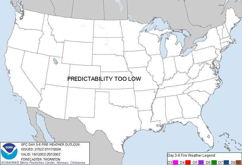
SPC Day 3-8 Fire Weather OutlookSPC Day 3-8 Fire Weather Outlook 
Day 3-8 Fire Weather Outlook CORR 1
NWS Storm Prediction Center Norman OK
0308 PM CST Wed Nov 06 2024

Valid 081200Z - 141200Z

CORRECTED FOR WORDING

A mid-level trough will overspread the Plains states this weekend
and rapidly eject into the Northeast by early next week. At the same
time, another mid-level trough will amplify while impinging on the
West Coast and overspreading the Interior West by the end of the
period. With this upper-air pattern, multiple instances of surface
cyclone development are likely over the central U.S., which will
encourage low-level moisture return and ample precipitation
accumulations between the Rockies and Appalachians. Meanwhile
surface high pressure will persist over the Interior/Inter-Mountain
West. The net result will be relatively quiescent fire weather
conditions across much of the U.S., away from coastal areas through
the middle of next week.

Some wildfire-spread concerns will exist for portions of the
Mid-Atlantic for Days 3-4 (Friday), after a cold front passes the
region. By Friday afternoon, 15+ mph sustained westerly surface
winds will coincide with 30-40 percent RH for at least a few hours.
40% Critical highlights have been introduced for Day 3/Friday given
how dry the fuels are, and given that meaningful precipitation
accumulations are unlikely through at least the rest of the week.
Medium-range guidance depicts weaker surface wind fields over the
weekend (hence no Critical probabilities introduced), though dry
low-level conditions may promote at least localized wildfire-spread
potential.

Medium-range guidance also hints at potentially dry offshore flow
across southern California by the middle of next week. Low-end
Critical probabilities may be needed in later outlooks pending
guidance consensus and consistency in this scenario in medium-range
guidance over the next few days.

..Squitieri.. 11/06/2024

...Please see www.spc.noaa.gov/fire for graphic product...
Read morehttps://www.spc.noaa.gov/products/exper/fire_wx/
|
|


CMS The Best Conveyancing solicitors conveyancing quotes throughout the UK
For any webhosting enquiries please email webmaster@aus-city.com
|
|
Forums60
Topics771,321
Posts806,109
Members2,958
| |
Most Online17,963
Jan 15th, 2026
|
|
|
|
|
Copyright 1996 - 2026 by David Cottle. Designed by David Bate Jr. All Rights Reserved.
By using this forum, the user agrees not to transfer any data or technical information received under the agreement, to any other entity without the express approval of the AUS-CITY Forum Admins and/or authors of individual posts (Forum Admins and DoD/USSPACECOM for the analysis of satellite tracking data).
Two-line elements (TLE) and all other satellite data presented and distributed via this forum and e-mail lists of AUS-CITY are distributed with permission from DoD/USSTRATCOM.


Reprise Hosting


|

|