|
|
|
0 members (),
529
guests, and
31
robots. |
|
Key:
Admin,
Global Mod,
Mod
|
|
S |
M |
T |
W |
T |
F |
S |
|
|
|
|
|
|
1
|
2
|
|
3
|
4
|
5
|
6
|
7
|
8
|
9
|
|
10
|
11
|
12
|
13
|
14
|
15
|
16
|
|
17
|
18
|
19
|
20
|
21
|
22
|
23
|
|
24
|
25
|
26
|
27
|
28
|
29
|
30
|
|
There are no members with birthdays on this day. |

#744122
Sun 10 Nov 2024 09:27:AM
|
Joined: Feb 2001
Posts: 381,903
Launch Director
|
OP

Launch Director
Joined: Feb 2001
Posts: 381,903 |
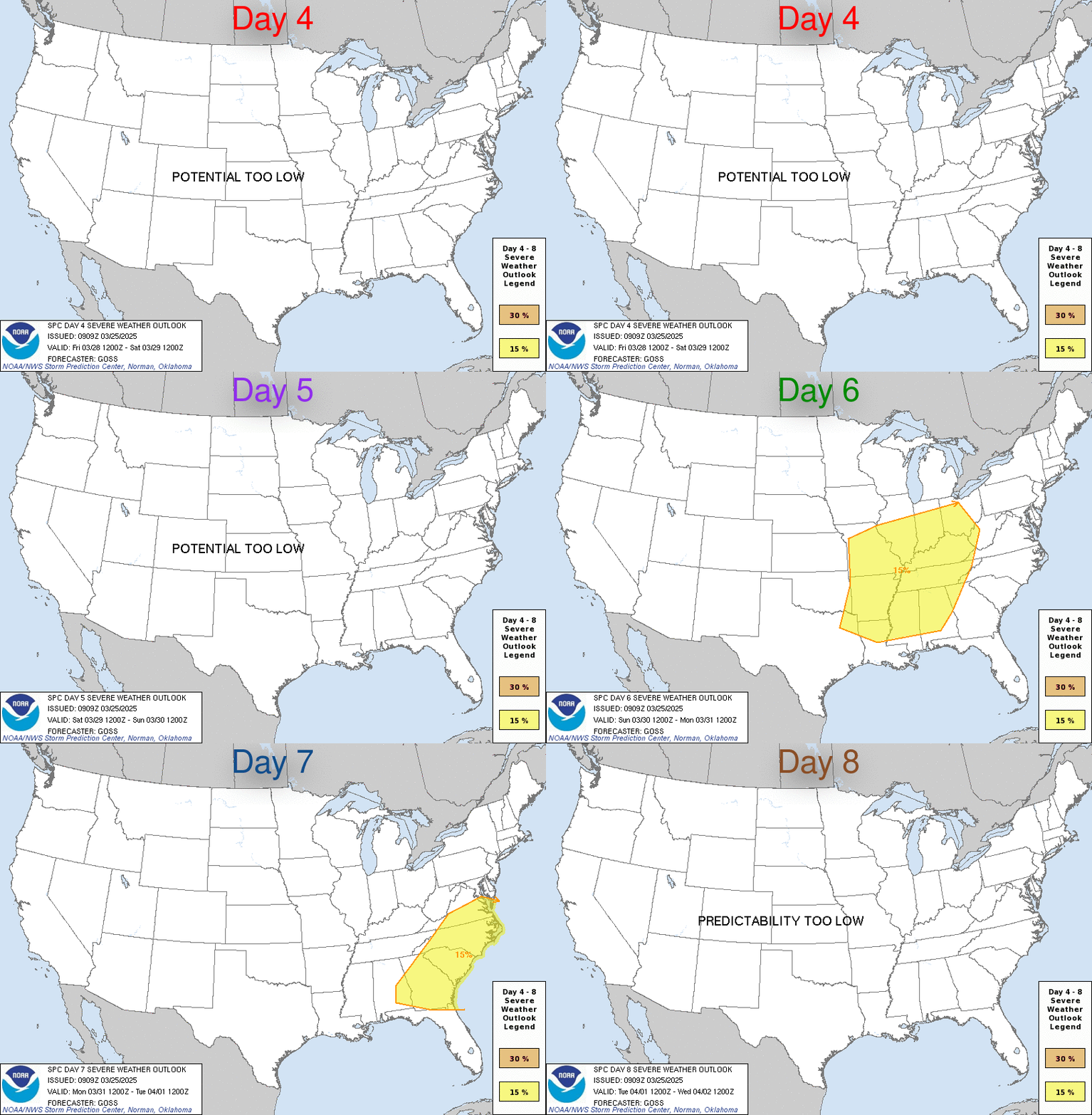
SPC Nov 10, 2024 Day 4-8 Severe Weather OutlookDay 4-8 Outlook 
Day 4-8 Convective Outlook
NWS Storm Prediction Center Norman OK
0324 AM CST Sun Nov 10 2024

Valid 131200Z - 181200Z

...DISCUSSION...
Predictability concerns that are evident on D3/Tuesday appear to
affect the extended period. Non-GEFS/GFS models support a
slower/southward evolution of a shortwave trough across the central
states into the East on D4-5/Wednesday-Thursday. The 00Z
deterministic ECMWF/UKMET are quite similar with this scenario.
While the surface cyclone reflection may be weak, rich Gulf moisture
coupled with an increase in low-level flow may be sufficient for at
least a low-probability severe threat centered on the Lower MS
Valley to the northeast Gulf Coast/southern Deep South.

Late week, there continues to be above-average agreement with a
positive-tilt longwave trough developing from the Canadian Prairies
to off the southern CA coast. Despite typical predictability
concerns with the handling of embedded shortwave impulses, the
primary impactful difference is with the degree of moisture return
across the Great Plains. Non-GEFS/GFS models have trended towards
poorer-quality return flow in the wake of the leading shortwave
trough on D4-5 and subsequent continental air mass intrusion into
the Gulf. As such, despite SPC and NSSL GEFS-based ML guidance
depicting 5-15 percent severe probabilities next weekend, other
models seemingly suggest a 5 percent or less threat for now.
Read morehttps://www.spc.noaa.gov/products/exper/day4-8/
|
|


CMS The Best Conveyancing solicitors conveyancing quotes throughout the UK
For any webhosting enquiries please email webmaster@aus-city.com
|
|
Forums60
Topics708,423
Posts743,038
Members2,957
| |
Most Online4,158
Jun 21st, 2024
|
|
|
|
|
Copyright 1996 - 2024 by David Cottle. Designed by David Bate Jr. All Rights Reserved.
By using this forum, the user agrees not to transfer any data or technical information received under the agreement, to any other entity without the express approval of the AUS-CITY Forum Admins and/or authors of individual posts (Forum Admins and DoD/USSPACECOM for the analysis of satellite tracking data).
Two-line elements (TLE) and all other satellite data presented and distributed via this forum and e-mail lists of AUS-CITY are distributed with permission from DoD/USSTRATCOM.


Reprise Hosting


|

|