|
|
|
0 members (),
766
guests, and
24
robots. |
|
Key:
Admin,
Global Mod,
Mod
|
|
S |
M |
T |
W |
T |
F |
S |
|
|
|
|
1
|
2
|
3
|
4
|
|
5
|
6
|
7
|
8
|
9
|
10
|
11
|
|
12
|
13
|
14
|
15
|
16
|
17
|
18
|
|
19
|
20
|
21
|
22
|
23
|
24
|
25
|
|
26
|
27
|
28
|
29
|
30
|
|
|
|
There are no members with birthdays on this day. |

#760554
Mon 14 Apr 2025 10:06:PM
|
Joined: Feb 2001
Posts: 381,904
Launch Director
|
OP

Launch Director
Joined: Feb 2001
Posts: 381,904 |
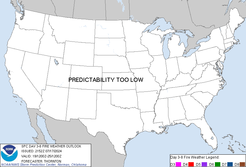
SPC Day 3-8 Fire Weather OutlookSPC Day 3-8 Fire Weather Outlook 
Day 3-8 Fire Weather Outlook
NWS Storm Prediction Center Norman OK
0501 PM CDT Mon Apr 14 2025

Valid 161200Z - 221200Z

A deepening upper-level trough across the western U.S. along with a
marked increase in southwesterly mid-level flow will support a
multi-day fire weather threat across portions of the Desert
Southwest and adjacent Southern High Plains from Day 3/Wednesday
through Day 5/Friday, potentially into Day 6/Saturday.

Lee cyclone formation in response to the increased southwest flow
aloft will promote accelerating winds across southeastern Arizona
and much of New Mexico on Day 3/Wednesday. A very dry boundary layer
and daytime mixing should result in single digit relative humidity
values across southwestern New Mexico. A 70 percent probability of
Critical fire weather conditions have been introduced to reflect
latest model guidance consensus and overall increased confidence.

By Day 4/Thursday, the trough pattern amplifies across the West
while a mid-level jet max translates over the Desert Southwest.
Latest model and ensemble guidance has allowed for increased
confidence in a widespread fire weather threat across the region,
albeit shifted slightly eastward from the Day 3 threat. 70 percent
probabilities have been expanded for much of New Mexico. Enhanced
downsloping across the Southern High Plains amid receptive carryover
fuels and dry surface layer prompted expansion of the 70 percent
area into southeastern Colorado and western Oklahoma/Texas
Panhandles for Day 4.

Upper-level trough axis across the west shifts southward introducing
chances for rain/snow into portions the Southwest, mainly north of
the I-40 corridor by late week. However, fire weather concerns could
linger into the weekend for portions of southern New Mexico and
adjacent High Plains.

..Williams/Moore.. 04/14/2025

...Please see www.spc.noaa.gov/fire for graphic product...
Read morehttps://www.spc.noaa.gov/products/exper/fire_wx/
|
|


CMS The Best Conveyancing solicitors conveyancing quotes throughout the UK
For any webhosting enquiries please email webmaster@aus-city.com
|
|
Forums60
Topics767,828
Posts802,592
Members2,958
| |
Most Online17,963
Jan 15th, 2026
|
|
|
|
|
Copyright 1996 - 2026 by David Cottle. Designed by David Bate Jr. All Rights Reserved.
By using this forum, the user agrees not to transfer any data or technical information received under the agreement, to any other entity without the express approval of the AUS-CITY Forum Admins and/or authors of individual posts (Forum Admins and DoD/USSPACECOM for the analysis of satellite tracking data).
Two-line elements (TLE) and all other satellite data presented and distributed via this forum and e-mail lists of AUS-CITY are distributed with permission from DoD/USSTRATCOM.


Reprise Hosting


|

|