|
|
|
0 members (),
606
guests, and
26
robots. |
|
Key:
Admin,
Global Mod,
Mod
|
|
S |
M |
T |
W |
T |
F |
S |
|
|
|
|
|
1
|
2
|
3
|
|
4
|
5
|
6
|
7
|
8
|
9
|
10
|
|
11
|
12
|
13
|
14
|
15
|
16
|
17
|
|
18
|
19
|
20
|
21
|
22
|
23
|
24
|
|
25
|
26
|
27
|
28
|
29
|
30
|
31
|
|
There are no members with birthdays on this day. |
|
|
Joined: Feb 2001
Posts: 381,904
Launch Director
|
OP

Launch Director
Joined: Feb 2001
Posts: 381,904 |
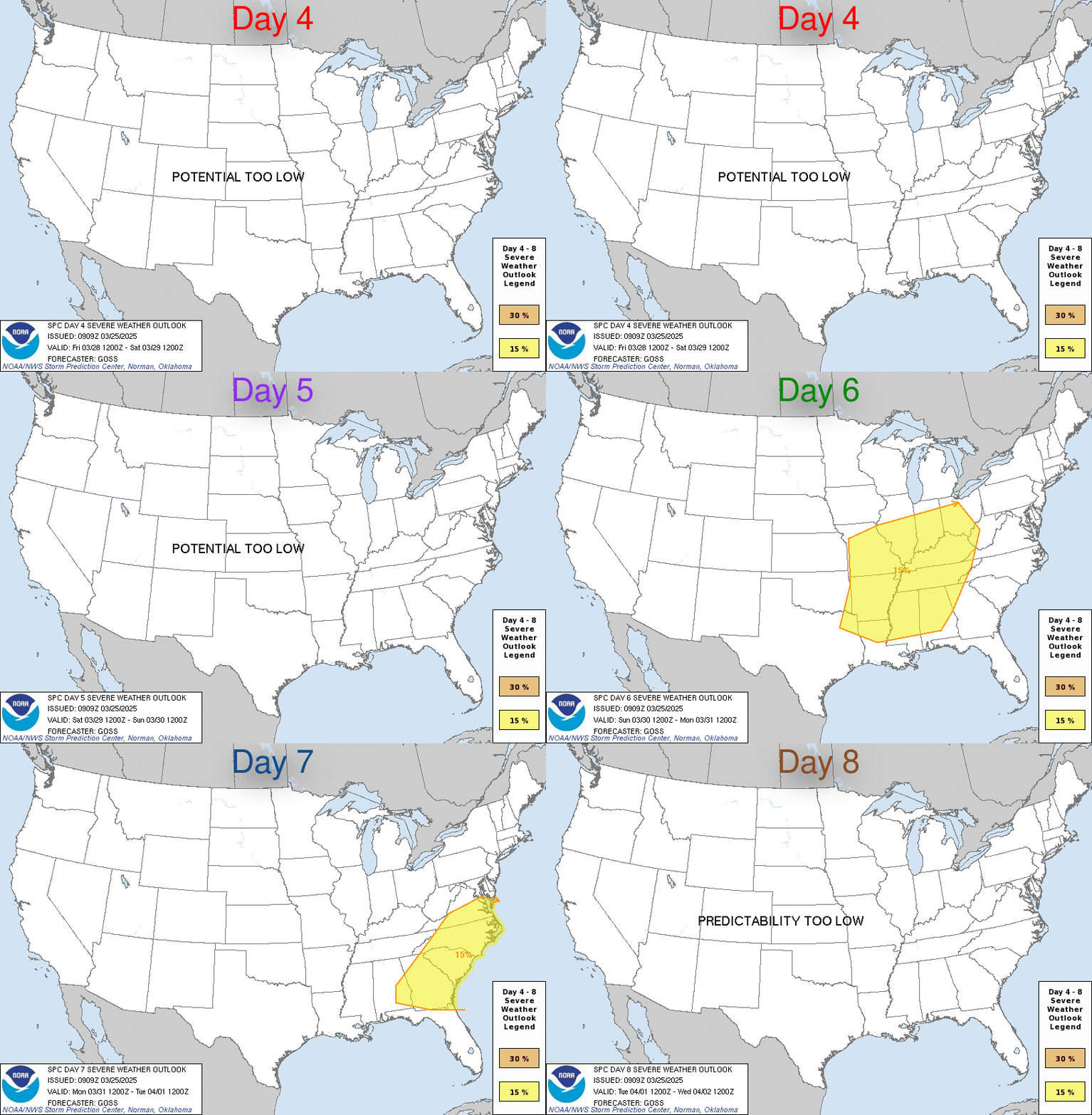
SPC May 23, 2025 Day 4-8 Severe Weather OutlookDay 4-8 Outlook 
Day 4-8 Convective Outlook
NWS Storm Prediction Center Norman OK
0400 AM CDT Fri May 23 2025

Valid 261200Z - 311200Z

...DISCUSSION...
...Monday/Day 4 to Wednesday/Day 6...
The medium-range models move a mid-level trough into the southern
and central Plains on Monday. Ahead of the trough, a moist airmass
is forecast from the southern Plains into the Gulf Coast states.
Scattered thunderstorms are expected across much of this airmass
Monday afternoon. The greatest convective coverage should be located
in parts of central and east Texas, where warm advection is forecast
to be maximized. Across the moist airmass, moderate instability will
likely be in place by midday. In addition, westerly flow associated
with the trough, should be strong enough for a severe threat. Large
hail and severe gusts will be possible as a cluster or line of
storms moves southeastward into central and east Texas during the
afternoon and evening.

On Tuesday, the moist airmass is forecast to remain in place from
the southern Plains eastward into the Gulf Coast states, with the
mid-level trough moving into the Ozarks. Model forecasts suggest
that numerous thunderstorms will develop ahead of the trough in
parts of the Southeast, with more isolated development occurring
across the southern Plains. Although a severe threat will be
possible across parts of this airmass, mesoscale processes will
determine the most favorable areas for severe. It appears that
instability will support isolated wind damage and hail, but
predictability appears low concerning the spatial distribution of
any isolated threat.

On Wednesday, the most unstable air is forecast from parts of
central and south Texas eastward into the lower Mississippi Valley.
Although large-scale ascent is forecast to be weak, thunderstorms
should develop in areas that warm up sufficiently along residual
outflow boundaries. An isolated severe threat should develop during
the mid to late afternoon, but predictability appears to be low.

...Thursday/Day 7 and Friday/Day 8...
On Thursday and Friday, westerly mid-level flow is forecast over the
southern U.S., where an unstable airmass is expected to remain in
place. As surface temperatures warm each day, isolated to scattered
thunderstorm development should take place. Although instability and
shear will be favorable for severe storms in a few areas,
predictability remains low.

In addition, on Friday convection will be possible ahead of a cold
front across parts of the Atlantic Seaboard. Enough instability
should be in place during the day for an isolated severe threat.
However, the spatial distribution of any potential threat appears to
have low predictability.
Read morehttps://www.spc.noaa.gov/products/exper/day4-8/
|
|


CMS The Best Conveyancing solicitors conveyancing quotes throughout the UK
For any webhosting enquiries please email webmaster@aus-city.com
|
|
Forums60
Topics726,652
Posts761,268
Members2,958
| |
Most Online4,158
Jun 21st, 2024
|
|
|
|
|
Copyright 1996 - 2024 by David Cottle. Designed by David Bate Jr. All Rights Reserved.
By using this forum, the user agrees not to transfer any data or technical information received under the agreement, to any other entity without the express approval of the AUS-CITY Forum Admins and/or authors of individual posts (Forum Admins and DoD/USSPACECOM for the analysis of satellite tracking data).
Two-line elements (TLE) and all other satellite data presented and distributed via this forum and e-mail lists of AUS-CITY are distributed with permission from DoD/USSTRATCOM.


Reprise Hosting


|

|