|
|
|
0 members (),
208
guests, and
23
robots. |
|
Key:
Admin,
Global Mod,
Mod
|
|
S |
M |
T |
W |
T |
F |
S |
|
|
|
|
|
|
1
|
2
|
|
3
|
4
|
5
|
6
|
7
|
8
|
9
|
|
10
|
11
|
12
|
13
|
14
|
15
|
16
|
|
17
|
18
|
19
|
20
|
21
|
22
|
23
|
|
24
|
25
|
26
|
27
|
28
|
29
|
30
|
|
31
|
|
|
|
|
|
|
|
There are no members with birthdays on this day. |

#770291
Mon 04 Aug 2025 09:04:PM
|
Joined: Feb 2001
Posts: 381,904
Launch Director
|
OP

Launch Director
Joined: Feb 2001
Posts: 381,904 |
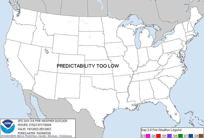
SPC Day 3-8 Fire Weather OutlookSPC Day 3-8 Fire Weather Outlook 
Day 3-8 Fire Weather Outlook
NWS Storm Prediction Center Norman OK
0359 PM CDT Mon Aug 04 2025

Valid 061200Z - 121200Z

An upper-level ridge will continue to build into the Southwest
through at least D4/Thursday and remain quasi-stationary thereafter.
An upper-level trough will enter the Pacific Northwest by
D4/Thursday and traverse the Northern Rockies through D7/Saturday.

...Great Basin/Southwest/Rocky Mountains: Day 3/Wednesday - Day
5/Friday...
As enhanced upper-level flow overspreads the region, diurnally
driven heating/mixing will result in increasing potential for
critical fire-weather conditions each day, amid a dry antecedent
airmass and critically dry fuels. On D3/D4, 70% probabilities have
been confined to areas where sustained winds of 20-30 mph appear
probable, with D4/Thursday appearing to have the most widespread
potential in advance of an approaching cold front. On D5/Friday, 70%
probabilities were considered, but 40% have been maintained given
uncertainty among medium-rand guidance in the placement of the cold
front.

By D6/Saturday the cold front is expected to traverse the region,
though a small region of potential elevated to critical conditions
may remain ahead of the front. For now, have excluded the
introduction of 40% probabilities until details of the frontal
position become more certain.

Thereafter, generally weak flow aloft is expected, along with
hot/dry conditions, but given a lack of appreciable surface wind
speeds, potential appears too low to introduce probabilities for
D7/D8.

 ...Dry Thunderstorms...
Subtropical moisture beneath the upper-level ridge will continue to
build into portions of the Southwest, leading to increasing chances
for isolated dry thunderstorms. Therefore, 10% probabilities have
been introduced for portions northeast Arizona, northwest New
Mexico, and southwest Colorado on D3/Wednesday. For D4/Thursday and
beyond potential will exist for dry thunderstorm development across
a similar region and into peripheral areas, though the spatial
details remain too uncertain to introduce additional highlights.

..Karstens.. 08/04/2025

...Please see www.spc.noaa.gov/fire for graphic product...
Read morehttps://www.spc.noaa.gov/products/exper/fire_wx/
|
|


CMS The Best Conveyancing solicitors conveyancing quotes throughout the UK
For any webhosting enquiries please email webmaster@aus-city.com
|
|
Forums60
Topics736,672
Posts771,295
Members2,958
| |
Most Online4,158
Jun 21st, 2024
|
|
|
|
|
Copyright 1996 - 2024 by David Cottle. Designed by David Bate Jr. All Rights Reserved.
By using this forum, the user agrees not to transfer any data or technical information received under the agreement, to any other entity without the express approval of the AUS-CITY Forum Admins and/or authors of individual posts (Forum Admins and DoD/USSPACECOM for the analysis of satellite tracking data).
Two-line elements (TLE) and all other satellite data presented and distributed via this forum and e-mail lists of AUS-CITY are distributed with permission from DoD/USSTRATCOM.


Reprise Hosting


|

|