|
0 members (),
286
guests, and
23
robots. |
|
Key:
Admin,
Global Mod,
Mod
|
|
S |
M |
T |
W |
T |
F |
S |
|
|
|
|
|
|
1
|
2
|
|
3
|
4
|
5
|
6
|
7
|
8
|
9
|
|
10
|
11
|
12
|
13
|
14
|
15
|
16
|
|
17
|
18
|
19
|
20
|
21
|
22
|
23
|
|
24
|
25
|
26
|
27
|
28
|
29
|
30
|
|
31
|
|
|
|
|
|
|
|
There are no members with birthdays on this day. |
|
|
Joined: Feb 2001
Posts: 381,904
Launch Director
|
OP

Launch Director
Joined: Feb 2001
Posts: 381,904 |
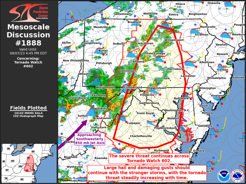
SPC MD 1888MD 1888 CONCERNING SEVERE THUNDERSTORM WATCH 571...572... FOR CENTRAL HIGH PLAINS 
Mesoscale Discussion 1888
NWS Storm Prediction Center Norman OK
0746 PM CDT Mon Aug 04 2025

Areas affected...central High Plains

Concerning...Severe Thunderstorm Watch 571...572...

Valid 050046Z - 050245Z

The severe weather threat for Severe Thunderstorm Watch 571, 572
continues.

SUMMARY...Widely spaced severe storms persist across the central
High Plains, with mainly a large hail threat. These storms should
remain within a relatively narrow north-south corridor this evening.

DISCUSSION...Two main clusters of cells persist this evening over
eastern CO where southeast low-level winds have maintained lower 60s
F dewpoints. Modest northwest flow aloft exists as well, helping to
elongate hodographs with splitting cells noted earlier. Recently,
cells have accelerated in a relative sense, now with southward
propagation into the increasing nocturnal low-level jet.

Increasing MLCIN as seen on available 00Z soundings suggest the
existing storm corridor will not shift eastward much, but perhaps
toward the CO/KS border. The cluster of storms west of GLD has shown
some eastward progression recently as outflow increases.

For areas from far southeast CO into northeast NM and the western
Panhandles, capping is not as strong and this region will remain
firmly within the 850 mb theta-e plume. As such, at least isolated
cells may persist well into the evening with hail and localized wind
threat.

..Jewell.. 08/05/2025

...Please see www.spc.noaa.gov for graphic product...

ATTN...WFO...LBF...DDC...GLD...AMA...PUB...BOU...CYS...ABQ...

LAT...LON   37300209 36730231 36600250 36320278 36150320 36310376
            37130364 39360365 41320381 42050402 42600399 42890371
            42980332 42640287 39200217 38270195 37300209

MOST PROBABLE PEAK TORNADO INTENSITY...UP TO 95 MPH
MOST PROBABLE PEAK WIND GUST...55-70 MPH
MOST PROBABLE PEAK HAIL SIZE...1.50-2.50 IN
Read morehttps://www.spc.noaa.gov/products/md/md1888.html
|
|


CMS The Best Conveyancing solicitors conveyancing quotes throughout the UK
For any webhosting enquiries please email webmaster@aus-city.com
|
|
Forums60
Topics733,764
Posts768,387
Members2,958
| |
Most Online4,158
Jun 21st, 2024
|
|
|