|
|
|
0 members (),
191
guests, and
22
robots. |
|
Key:
Admin,
Global Mod,
Mod
|
|
S |
M |
T |
W |
T |
F |
S |
|
|
|
|
|
|
1
|
2
|
|
3
|
4
|
5
|
6
|
7
|
8
|
9
|
|
10
|
11
|
12
|
13
|
14
|
15
|
16
|
|
17
|
18
|
19
|
20
|
21
|
22
|
23
|
|
24
|
25
|
26
|
27
|
28
|
29
|
30
|
|
31
|
|
|
|
|
|
|
|
There are no members with birthdays on this day. |

#771717
Thu 14 Aug 2025 06:45:AM
|
Joined: Feb 2001
Posts: 381,904
Launch Director
|
OP

Launch Director
Joined: Feb 2001
Posts: 381,904 |
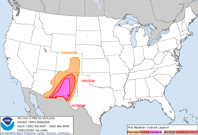
SPC Day 2 Fire Weather OutlookSPC Day 2 Fire Weather Outlook 
Day 2 Fire Weather Outlook
NWS Storm Prediction Center Norman OK
0143 AM CDT Thu Aug 14 2025

Valid 151200Z - 161200Z

...Synopsis...
Fire weather concerns will continue into Friday across the Great
Basin and parts of the northern Rockies. The upper wave currently
moving into CA will gradually shift east into the Great Basin over
the next 48 hours. This will maintain a weak surface low over the
Intermountain West while also supporting a northward surge of deeper
monsoonal moisture from AZ into UT, CO, and parts of southern WY.
Dry conditions - both at the surface and aloft - will support
elevated fire weather conditions as well as dry thunderstorm
chances. Latest ensemble guidance suggests a corridor of 15-20 mph
winds will likely emerge from southern NV into western UT and
eastern ID. Several hours of elevated fire weather conditions are
probable as RH values fall into the 10-15% range by late afternoon.

Similar to previous days, a combination of steep mid-level lapse
rates and modest mid-level moisture on the northwestern fringe of
the monsoonal surge will support a swath of 100-500 J/kg MUCAPE
across central NV into western WY. Dry boundary layer conditions
under the weak buoyancy coupled with 15-25 knot storm motions will
favor dry thunderstorms. Latest CAM guidance shows a reasonably
strong signal for convection, though coverage may be more limited
compared to previous days as stronger synoptic forcing for ascent
will likely remain displaced to the south/southeast. Regardless,
receptive fuels over the region will continue to yield a
lightning-driven fire weather concern.

..Moore.. 08/14/2025

...Please see www.spc.noaa.gov/fire for graphic product...
Read morehttps://www.spc.noaa.gov/products/fire_wx/fwdy2.html
|
|


CMS The Best Conveyancing solicitors conveyancing quotes throughout the UK
For any webhosting enquiries please email webmaster@aus-city.com
|
|
Forums60
Topics735,851
Posts770,474
Members2,958
| |
Most Online4,158
Jun 21st, 2024
|
|
|
|
|
Copyright 1996 - 2024 by David Cottle. Designed by David Bate Jr. All Rights Reserved.
By using this forum, the user agrees not to transfer any data or technical information received under the agreement, to any other entity without the express approval of the AUS-CITY Forum Admins and/or authors of individual posts (Forum Admins and DoD/USSPACECOM for the analysis of satellite tracking data).
Two-line elements (TLE) and all other satellite data presented and distributed via this forum and e-mail lists of AUS-CITY are distributed with permission from DoD/USSTRATCOM.


Reprise Hosting


|

|