|
|
|
0 members (),
429
guests, and
23
robots. |
|
Key:
Admin,
Global Mod,
Mod
|
|
S |
M |
T |
W |
T |
F |
S |
|
|
|
|
|
|
1
|
2
|
|
3
|
4
|
5
|
6
|
7
|
8
|
9
|
|
10
|
11
|
12
|
13
|
14
|
15
|
16
|
|
17
|
18
|
19
|
20
|
21
|
22
|
23
|
|
24
|
25
|
26
|
27
|
28
|
29
|
30
|
|
31
|
|
|
|
|
|
|
|
There are no members with birthdays on this day. |
|
|
Joined: Feb 2001
Posts: 381,904
Launch Director
|
OP

Launch Director
Joined: Feb 2001
Posts: 381,904 |
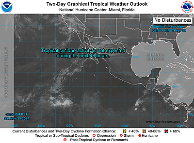
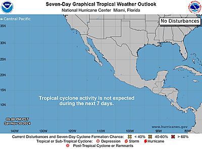
NHC Eastern North Pacific Outlook


ZCZC MIATWOEP ALL
TTAA00 KNHC DDHHMM
Tropical Weather Outlook
NWS National Hurricane Center Miami FL
1100 AM PDT Sun Aug 24 2025
For the eastern and central North Pacific east of 180 longitude:
1. Southwest of Southwestern Mexico (EP92):
Satellite-derived wind data indicate that the low-level circulation
associated with a broad area of low pressure located about 500
mile south of the southern tip of the Baja California Peninsula is
becoming better defined, and tropical depression or tropical storm
advisories on this system will likely be initiated later today. The
system is expected to move generally west-northwestward at 10 to 15
mph for the next couple of days, remaining well offshore of the
coast of Mexico.
* Formation chance through 48 hours...high...90 percent.
* Formation chance through 7 days...high...90 percent.
Forecaster Pasch
|
|


CMS The Best Conveyancing solicitors conveyancing quotes throughout the UK
For any webhosting enquiries please email webmaster@aus-city.com
|
|
Forums60
Topics736,146
Posts770,769
Members2,958
| |
Most Online4,158
Jun 21st, 2024
|
|
|
|
|
Copyright 1996 - 2024 by David Cottle. Designed by David Bate Jr. All Rights Reserved.
By using this forum, the user agrees not to transfer any data or technical information received under the agreement, to any other entity without the express approval of the AUS-CITY Forum Admins and/or authors of individual posts (Forum Admins and DoD/USSPACECOM for the analysis of satellite tracking data).
Two-line elements (TLE) and all other satellite data presented and distributed via this forum and e-mail lists of AUS-CITY are distributed with permission from DoD/USSTRATCOM.


Reprise Hosting


|

|