|
|
|
0 members (),
911
guests, and
22
robots. |
|
Key:
Admin,
Global Mod,
Mod
|
|
S |
M |
T |
W |
T |
F |
S |
|
|
|
|
1
|
2
|
3
|
4
|
|
5
|
6
|
7
|
8
|
9
|
10
|
11
|
|
12
|
13
|
14
|
15
|
16
|
17
|
18
|
|
19
|
20
|
21
|
22
|
23
|
24
|
25
|
|
26
|
27
|
28
|
29
|
30
|
31
|
|
|
There are no members with birthdays on this day. |

#774840
Mon 15 Sep 2025 09:10:PM
|
Joined: Feb 2001
Posts: 381,904
Launch Director
|
OP

Launch Director
Joined: Feb 2001
Posts: 381,904 |
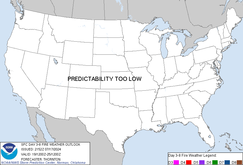
SPC Day 3-8 Fire Weather OutlookSPC Day 3-8 Fire Weather Outlook 
Day 3-8 Fire Weather Outlook
NWS Storm Prediction Center Norman OK
0405 PM CDT Mon Sep 15 2025

Valid 171200Z - 231200Z

An upper low is forecast to stall over the central US this week with
weak ridging temporarily amplifying on either side. The semi-blocked
pattern should persist, keeping fire-weather conditions relatively
quiescent through much of the extended forecast period. By this
weekend, the ridging will break down as a more progressive upper
trough moves from the Northwest into the Rockies, while a stronger
upper low will move offshore with a cold front across the Northeast.
This, along with an influx of tropical moisture over the West, may
bring an increase in fire-weather potential later in the extended
forecast period.

...Northwest...
A brief period of easterly flow is expected over the western
Columbia Basin and Cascade Range late D2/Tuesday into early
D3/Wednesday. High pressure behind the departing upper low will
support a modest increase in offshore pressure gradients through
midweek, before onshore flow returns. Occasional gusts to 25+ mph
may briefly overlap with lower humidity supporting some local
fire-weather concerns across the higher Cascades and through terrain
gaps.

High pressure is then forecast to build over much of the West
through the end of the week. This will allow for significant warming
and some localized fire-weather concerns as fuels dry. Fire-weather
concerns may increase across the Columbia Basin through the weekend
and into next week as stronger zonal flow returns.

...Eastern US...
Warm and dry conditions are expected over much of the
eastern/southeastern US through the extended forecast period.
However, winds are expected to remain light through the week with
high pressure in place. Area fuels will continue to dry with ongoing
drought. Some potential for gusty northwest winds may develop
D5/Friday through the weekend behind a cold front. The gusty
offshore winds and dry conditions could potentially bolster
fire-weather concerns into week 2. For now, dry conditions may
promote local fire-weather concerns with the driest fuels this
weekend.

...Thunderstorms...
Associated with the remnants of TS Mario over the eastern Pacific,
mid-level moisture and increasingly strong southwesterly/southerly
flow will overspread much of the West beginning the middle of this
week. The increase in moisture should favor scattered thunderstorms
with lightning potential into the weekend, especially over portions
of CA and the Southwest. However, wetting rainfall potential also
appears high which could temper area fuels. Models vary on the
degree of moisture and strength of the upper ridge into the weekend,
casting significant uncertainty on the dry thunderstorm potential,
especially farther north. Still, some lightning potential may evolve
over the Northwest and northern Great Basin later this week into the
weekend where fuels are expected to be more receptive.

..Lyons.. 09/15/2025

...Please see www.spc.noaa.gov/fire for graphic product...
Read morehttps://www.spc.noaa.gov/products/exper/fire_wx/
|
|


CMS The Best Conveyancing solicitors conveyancing quotes throughout the UK
For any webhosting enquiries please email webmaster@aus-city.com
|
|
Forums60
Topics741,879
Posts776,508
Members2,958
| |
Most Online4,158
Jun 21st, 2024
|
|
|
|
|
Copyright 1996 - 2024 by David Cottle. Designed by David Bate Jr. All Rights Reserved.
By using this forum, the user agrees not to transfer any data or technical information received under the agreement, to any other entity without the express approval of the AUS-CITY Forum Admins and/or authors of individual posts (Forum Admins and DoD/USSPACECOM for the analysis of satellite tracking data).
Two-line elements (TLE) and all other satellite data presented and distributed via this forum and e-mail lists of AUS-CITY are distributed with permission from DoD/USSTRATCOM.


Reprise Hosting


|

|