|
|
|
0 members (),
887
guests, and
24
robots. |
|
Key:
Admin,
Global Mod,
Mod
|
|
S |
M |
T |
W |
T |
F |
S |
|
|
|
|
1
|
2
|
3
|
4
|
|
5
|
6
|
7
|
8
|
9
|
10
|
11
|
|
12
|
13
|
14
|
15
|
16
|
17
|
18
|
|
19
|
20
|
21
|
22
|
23
|
24
|
25
|
|
26
|
27
|
28
|
29
|
30
|
31
|
|
|
There are no members with birthdays on this day. |
|
|
Joined: Feb 2001
Posts: 381,904
Launch Director
|
OP

Launch Director
Joined: Feb 2001
Posts: 381,904 |
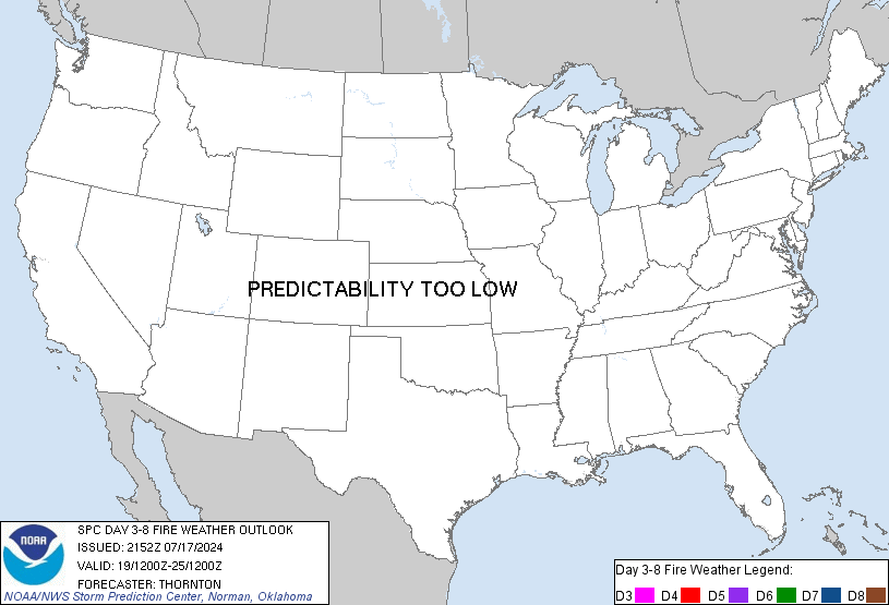
SPC Day 3-8 Fire Weather OutlookSPC Day 3-8 Fire Weather Outlook 
Day 3-8 Fire Weather Outlook
NWS Storm Prediction Center Norman OK
0342 PM CDT Sun Oct 26 2025

Valid 281200Z - 031200Z

Fire weather concerns appear limited through the upcoming work week
and into next weekend. Long-range guidance shows reasonably good
agreement in the eastward progression, and amplification, of the
upper wave currently pushing into the Pacific Northwest. As this
wave and an attendant surface cyclone intensify over the Plains/MS
Valley, a southward push of a Pacific maritime air mass behind a
cold front will support widespread windy conditions across the
Plains Tuesday and Wednesday. Across the West, high pressure over
the northern Great Basin will promote offshore flow along the
southern CA coast.

By mid to late week, a second upper-level shortwave trough is
forecast to deepen across the central CONUS, though how intense this
feature becomes (and how strong the surface winds will be in
response) remains somewhat uncertain due to deterministic/ensemble
spread. However, long-range ensembles generally show a strong signal
for precipitation chances across much of the Pacific Northwest,
northern Rockies, and eastern CONUS through the end of the upcoming
week, which should limit fuel status/fire concerns for much of these
regions. Portions of the Southwest and southern High Plains should
remain fairly dry and may see some degree of fine fuel drying
(though many areas currently have fairly moist fuels).

...D3/Tuesday-D4/Wednesday - Central/Southern Plains...
Sustained winds between 15-20 mph are anticipated D3/Tuesday
afternoon across much of the central Plains in the wake of a cold
frontal passage. While guidance shows fairly strong agreement in
this signal, an influx of cooler air combined with recent rainfall
and additional rain chances with the frontal passage should limit
overall fire weather concerns. Similar conditions are expected
further south across part of OK and TX on D4/Wednesday. Recent
rainfall should limit the fire weather potential, but portions of
the southern High Plains (where rainfall has been more scattered)
may see localized fire concerns.

...D3/Tuesday - D5/Thursday - southern California Coast...
Medium to long-range guidance depicts a 1035-1040 mb surface high
building across northern NV/ID late Monday into D3/Tuesday. This
will induce an offshore pressure gradient across coastal southern CA
beginning early Tuesday morning and persisting at least through
D5/Thursday. Most solutions depict a KLAX-KDAG gradient between -3
to -5 mb, which should be sufficient for sustained offshore winds
around 20 mph (potentially gusting to 40-45 mph at times at higher
elevation). Peak winds appear most probable Tuesday morning, but
ridging aloft will limit upper-level wind support and modulate the
overall intensity and duration of the peak winds. Downslope flow
should support areas of 15-20% RH, resulting in a few areas of
elevated to critical fire weather conditions in the lee of the
coastal terrain. However, recent fuel analyses show ERC values
remain depressed (between the 24-45th percentiles) after recent
rainfall, which will further limit the overall fire concern.

..Moore.. 10/26/2025

...Please see www.spc.noaa.gov/fire for graphic product...
Read morehttps://www.spc.noaa.gov/products/exper/fire_wx/
|
|


CMS The Best Conveyancing solicitors conveyancing quotes throughout the UK
For any webhosting enquiries please email webmaster@aus-city.com
|
|
Forums60
Topics743,253
Posts777,887
Members2,958
| |
Most Online4,158
Jun 21st, 2024
|
|
|
|
|
Copyright 1996 - 2024 by David Cottle. Designed by David Bate Jr. All Rights Reserved.
By using this forum, the user agrees not to transfer any data or technical information received under the agreement, to any other entity without the express approval of the AUS-CITY Forum Admins and/or authors of individual posts (Forum Admins and DoD/USSPACECOM for the analysis of satellite tracking data).
Two-line elements (TLE) and all other satellite data presented and distributed via this forum and e-mail lists of AUS-CITY are distributed with permission from DoD/USSTRATCOM.


Reprise Hosting


|

|