|
|
|
0 members (),
972
guests, and
30
robots. |
|
Key:
Admin,
Global Mod,
Mod
|
|
S |
M |
T |
W |
T |
F |
S |
|
|
|
1
|
2
|
3
|
4
|
5
|
|
6
|
7
|
8
|
9
|
10
|
11
|
12
|
|
13
|
14
|
15
|
16
|
17
|
18
|
19
|
|
20
|
21
|
22
|
23
|
24
|
25
|
26
|
|
27
|
28
|
29
|
30
|
|
|
|
|
There are no members with birthdays on this day. |
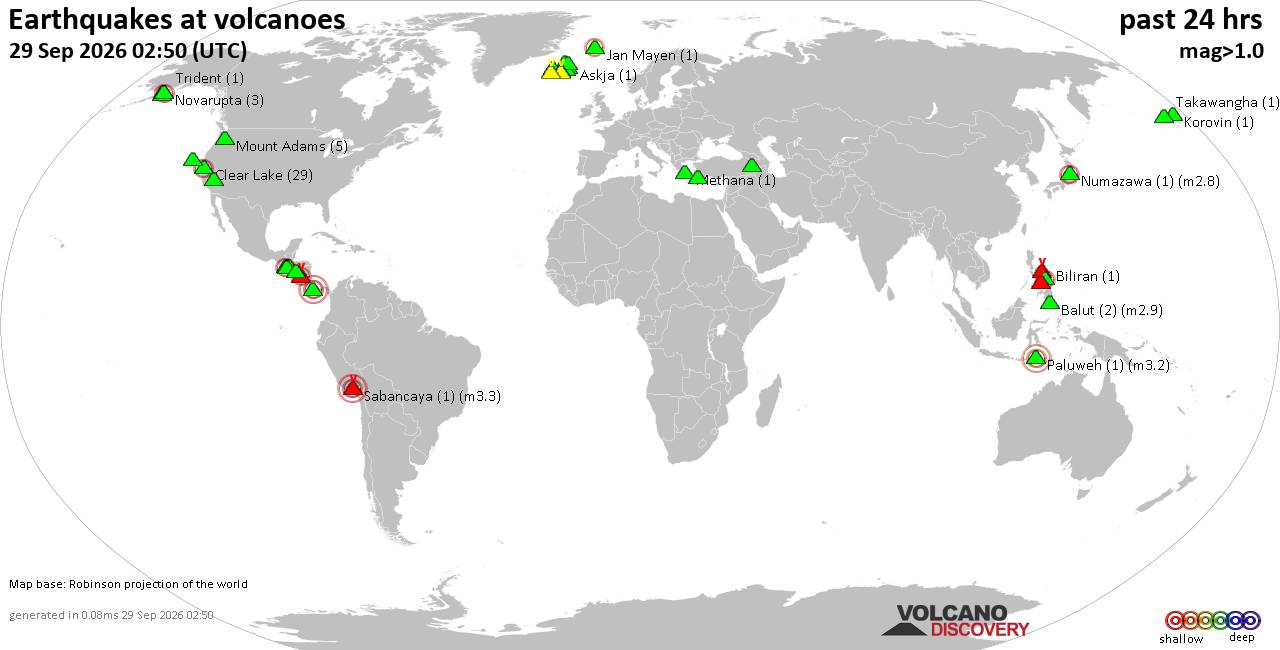
Volcano earthquake report for Tuesday, 29 September 2026
• M 0.6 - 67 km ENE of Pedro Bay, Alaska
• M 1.8 - 25 km SSW of Nanwalek, Alaska
• M 1.5 - 6 km NW of Pinnacles, CA
• M 2.0 - 58 km NE of King Cove, Alaska
• M -1.1 - 77 km NW of Ninilchik, Alaska
|

#781005
Fri 31 Oct 2025 07:06:AM
|
Joined: Feb 2001
Posts: 678,977
Launch Director
|
|
Launch Director
Joined: Feb 2001
Posts: 678,977 |
SPC Oct 31, 2025 0730 UTC Day 3 Severe Thunderstorm OutlookSPC 0730Z Day 3 Outlook 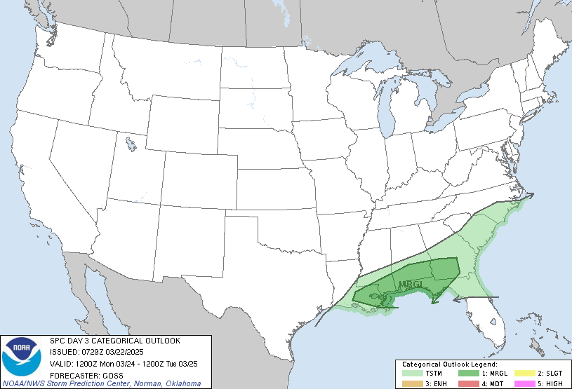
Day 3 Convective Outlook
NWS Storm Prediction Center Norman OK
0203 AM CDT Fri Oct 31 2025

Valid 021200Z - 031200Z

...NO SEVERE THUNDERSTORM AREAS FORECAST...

...SUMMARY...
Isolated thunderstorms will be possible across parts of the southern
Florida Peninsula on Sunday, but no severe threat is expected.

...DISCUSSION...
A mid-level trough will move through the Southeast on Sunday as
southwesterly flow remains along much of the Eastern Seaboard. At
the surface, a front will move through south Florida. Ahead of the
front, low-level convergence and warming surface temperatures across
a moist airmass may be sufficient for isolated thunderstorm
development. However, instability should be too weak for a severe
threat. Elsewhere across the continental U.S., thunderstorms are not
expected Sunday and Sunday night.

..Broyles.. 10/31/2025
Read morehttps://www.spc.noaa.gov/products/outlook/day3otlk_0730.html
|
|



CMS The Best Conveyancing solicitors conveyancing quotes throughout the UK
For any webhosting enquiries please email webmaster@aus-city.com
|
|
Forums60
Topics846,460
Posts881,255
Members2,960
| |
Most Online102,106
Jul 10th, 2026
|
|
|
|
|

|









































