|
|
|
0 members (),
6,891
guests, and
26
robots. |
|
Key:
Admin,
Global Mod,
Mod
|
|
S |
M |
T |
W |
T |
F |
S |
|
|
|
|
|
1
|
2
|
3
|
|
4
|
5
|
6
|
7
|
8
|
9
|
10
|
|
11
|
12
|
13
|
14
|
15
|
16
|
17
|
|
18
|
19
|
20
|
21
|
22
|
23
|
24
|
|
25
|
26
|
27
|
28
|
29
|
30
|
31
|
|
There are no members with birthdays on this day. |
|
|
|
|
|
|
|
|
|
|
|
|
|
|
|
|
damn bruh
by Webmaster - Tue 27 Jan 2026 12:00:AM
|
|
|

#784110
Wed 12 Nov 2025 09:59:PM
|
Joined: Feb 2001
Posts: 381,904
Launch Director
|
OP

Launch Director
Joined: Feb 2001
Posts: 381,904 |
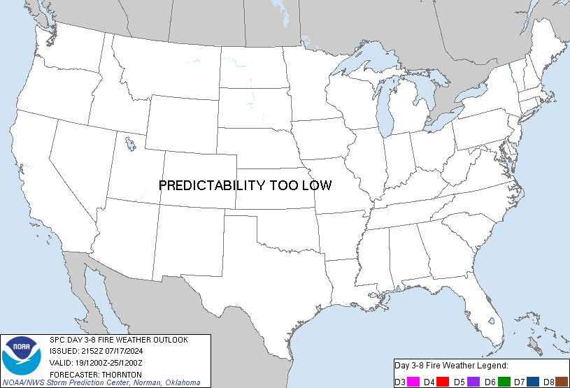
SPC Day 3-8 Fire Weather OutlookSPC Day 3-8 Fire Weather Outlook 
Day 3-8 Fire Weather Outlook
NWS Storm Prediction Center Norman OK
0354 PM CST Wed Nov 12 2025

Valid 141200Z - 201200Z

...Synopsis...
A mid/upper low bringing widespread wetting rains to CA on Days
3-4/Friday-Saturday should progress northeastward into the
Intermountain West into early next week, while a broader mid-level
trough and surface cold front sweeps through much of the eastern
U.S. over the weekend, largely mitigating fire weather impacts from
the Upper Midwest, Great Lakes and Northeast. Fire weather concerns
should be concentrated across the central and southern Plains where
passing mid/upper short waves and associated lee troughing introduce
the potential for dry/breezy conditions amid receptive fuels.

...Day 3/Friday - Central/Southern High Plains...
Model guidance consensus suggests a delay in the arrival of cut-off
low into the Southwest through the weekend. The later arrival of
stronger mid-level flow and surface pressure response along the High
Plains lowers confidence for a more widespread fire weather threat
across eastern NM and the TX Panhandle on Day 3/Friday. Thus, the
northern extent of the existing 40 percent critical delineation was
truncated owing to a reduced surface wind magnitude. Farther north,
enhanced deep layer westerly flow rounding the base of a mid-upper
trough over the Northern Rockies should aid stronger west winds
across southeastern WY and the NE Panhandle, but forecast
uncertainty in reaching sufficiently low relative humidity precludes
introducing probabilities at this time.

...Day 4/Saturday - Southern High Plains...
A slightly stronger surface pressure gradient ahead of a trough and
associated cold front stretching from the Great Lakes to the
southern High Plains should result in similar if not more expansive
dry/breezy conditions across eastern NM/TX Panhandle on Day
4/Saturday, where 40 percent critical probabilities were introduced.


...Day 5-8/Sunday-Wednesday...
Increased fire weather concerns reemerge across portions of the
Southern Plains early next week as the mid-level cut-off low evolves
into an open wave pattern as it moves into the Southern Plains.
However, forecast timing and position of lee cyclogenesis and
associated surface wind fields remains uncertain, which precludes
introduction of critical probabilities for early next week. Another
possible, deeper mid-level trough develops across the West midweek,
but predictability in fire weather impacts across the Plains remains
low.

..Williams.. 11/12/2025

...Please see www.spc.noaa.gov/fire for graphic product...
Read morehttps://www.spc.noaa.gov/products/exper/fire_wx/
|
|


CMS The Best Conveyancing solicitors conveyancing quotes throughout the UK
For any webhosting enquiries please email webmaster@aus-city.com
|
|
Forums60
Topics758,991
Posts793,705
Members2,958
| |
Most Online17,963
Jan 15th, 2026
|
|
|
|
|
Copyright 1996 - 2026 by David Cottle. Designed by David Bate Jr. All Rights Reserved.
By using this forum, the user agrees not to transfer any data or technical information received under the agreement, to any other entity without the express approval of the AUS-CITY Forum Admins and/or authors of individual posts (Forum Admins and DoD/USSPACECOM for the analysis of satellite tracking data).
Two-line elements (TLE) and all other satellite data presented and distributed via this forum and e-mail lists of AUS-CITY are distributed with permission from DoD/USSTRATCOM.


Reprise Hosting


|

|