|
|
|
0 members (),
1,404
guests, and
28
robots. |
|
Key:
Admin,
Global Mod,
Mod
|
|
S |
M |
T |
W |
T |
F |
S |
|
|
|
|
|
|
|
1
|
|
2
|
3
|
4
|
5
|
6
|
7
|
8
|
|
9
|
10
|
11
|
12
|
13
|
14
|
15
|
|
16
|
17
|
18
|
19
|
20
|
21
|
22
|
|
23
|
24
|
25
|
26
|
27
|
28
|
29
|
|
30
|
31
|
|
|
|
|
|
|
There are no members with birthdays on this day. |
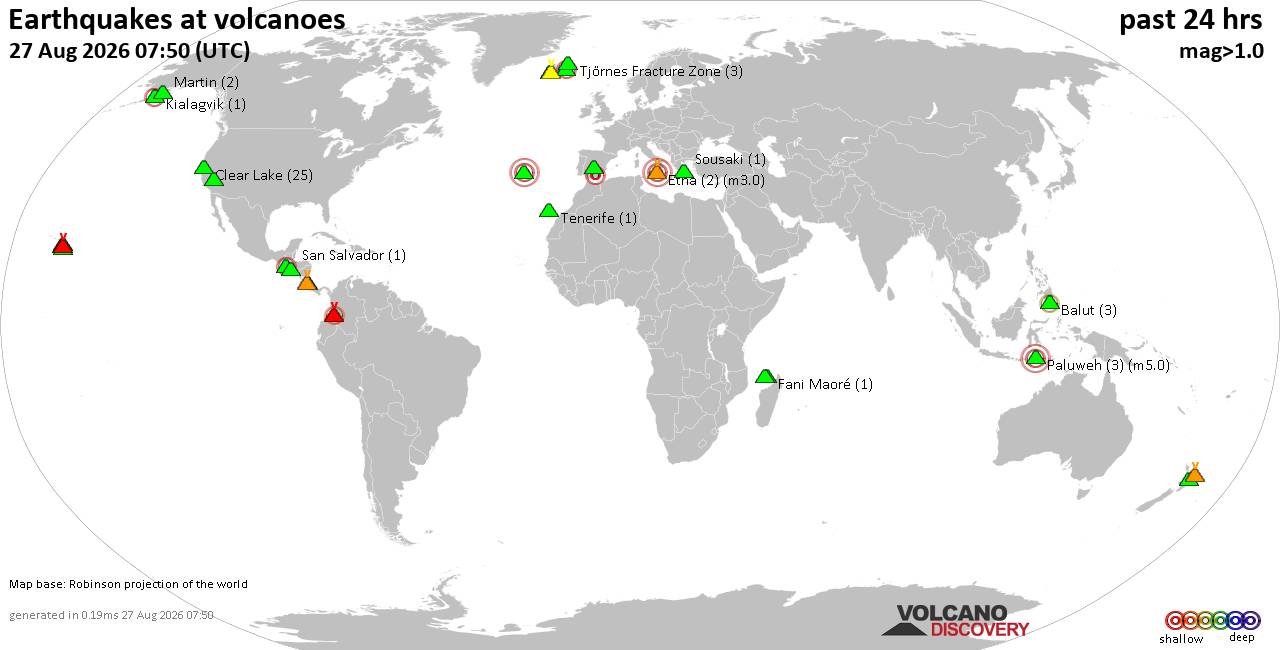
Volcano earthquake report for Thursday, 27 Aug 2026
• Strong mag. 5.2 earthquake - 334 km south of Ogasawara, Tokyo, Japan, on Th...
• Seismic-like event, possible earthquake, reported minutes ago near Granada,...
• World Earthquake Report for Thursday, 27 August 2026
• Possible earthquake reported near Acapulco de Juárez, Guerrero, Mexico, a ...
• Moderate mag. 4.3 earthquake - 16 km southeast of Acapulco de Juárez, Esta...
|

#789092
Wed 17 Dec 2025 04:26:PM
|
Joined: Feb 2001
Posts: 678,977
Launch Director
|
|
Launch Director
Joined: Feb 2001
Posts: 678,977 |
SPC Dec 17, 2025 1630 UTC Day 1 Convective OutlookSPC 1630Z Day 1 Outlook 
Day 1 Convective Outlook
NWS Storm Prediction Center Norman OK
1022 AM CST Wed Dec 17 2025

Valid 171630Z - 181200Z

...THERE IS A MARGINAL RISK OF SEVERE THUNDERSTORMS ACROSS PARTS OF
SOUTHERN IDAHO AND NORTHERN UTAH...

...SUMMARY...
While strong to locally severe winds may occur with low-topped
convection through early afternoon across parts of southern Idaho
and northern Utah, the overall threat for organized severe
thunderstorms appears low.

...Interior Northwest and Northern Great Basin/Rockies...
A powerful mid-level shortwave trough and associated sub-980 mb
surface low will move quickly eastward today across the interior
Northwest/northern Rockies and adjacent western Canada. A strong
surface cold front will likewise translate east-southeastward over
the northern Intermountain/Great Basin region late this morning into
the afternoon. Widespread cloud cover remains prevalent ahead of the
front across southern ID into northern UT and vicinity, with cool
surface temperatures and very limited low-level moisture also
present. MUCAPE is expected to remain only barely sufficient to
support convection. But, given the enhanced flow at low levels noted
on recent VWPs from KCBX/KSFX, it is not entirely out of the
question that convectively augmented gusts may exceed the already
strong background gradient winds on a localized basis. The Marginal
Risk has therefore been maintained for parts of southern ID/northern
UT and vicinity, even though the overall threat for organized severe
thunderstorms will remain low.

..Gleason/Weinman.. 12/17/2025
Read morehttps://www.spc.noaa.gov/products/outlook/day1otlk_1630.html
|
|



CMS The Best Conveyancing solicitors conveyancing quotes throughout the UK
For any webhosting enquiries please email webmaster@aus-city.com
|
|
Forums60
Topics813,588
Posts848,381
Members2,960
| |
Most Online102,106
Jul 10th, 2026
|
|
|
|
|

|





































