|
0 members (),
1,659
guests, and
38
robots. |
|
Key:
Admin,
Global Mod,
Mod
|
|
S |
M |
T |
W |
T |
F |
S |
|
|
|
|
|
|
|
1
|
|
2
|
3
|
4
|
5
|
6
|
7
|
8
|
|
9
|
10
|
11
|
12
|
13
|
14
|
15
|
|
16
|
17
|
18
|
19
|
20
|
21
|
22
|
|
23
|
24
|
25
|
26
|
27
|
28
|
29
|
|
30
|
31
|
|
|
|
|
|
|
There are no members with birthdays on this day. |
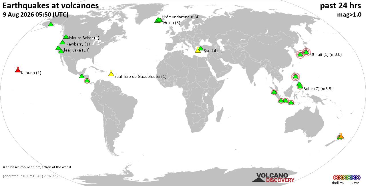
Volcano earthquake report for Sunday, 9 Aug 2026
• World Earthquake Report for Sunday, 9 August 2026
• Moderate mag. 4.0 earthquake - Northern Sumatra, Indonesia, on Sunday, Aug ...
• Moderate mag. 4.6 earthquake - New Zealand on Monday, Aug 10, 2026, at 01:0...
• Strong mag. 5.2 earthquake - Galapagos Triple Junction Region on Sunday, Au...
• World Earthquake Report for Sunday, 9 August 2026
|

#807681
Sat 02 May 2026 07:58:AM
|
Joined: Feb 2001
Posts: 678,976
Launch Director
|
OP

Launch Director
Joined: Feb 2001
Posts: 678,976 |
SPC May 2, 2026 Day 4-8 Severe Weather OutlookDay 4-8 Outlook 
Day 4-8 Convective Outlook
NWS Storm Prediction Center Norman OK
0255 AM CDT Sat May 02 2026

Valid 051200Z - 101200Z

...DISCUSSION...
...Days 4-5/Tue-Wed -- Southeast OK/ArkLaTex to Lower MS/TN
Valleys...

Southwesterly deep-layer flow will increase from the southern
Rockies to the Mid-South on Day 4/Tuesday as a southern stream
shortwave trough over the Southwest merges with an upper trough over
the Plains/Upper Midwest. At the surface, low pressure will develop
over the southern Plains and slowly progress east in AR as a cold
front develops southeast across OK/AR and the Lower OH Valley. Ahead
of the front, rich Gulf moisture will return northward, and 60s to
near 70 F dewpoints are forecast by Tuesday afternoon/evening across
southeast OK and the ArkLaTex. Timing of thunderstorm development is
a bit uncertain as shortwave ridging may overspread the southern
Plains vicinity through afternoon. However, forcing for ascent
should increase with the approach of the surface front and as a
low-level jet increasing Tuesday evening. Moderate instability and
strong vertical shear should support severe thunderstorm activity
near the cold front from late afternoon into Tuesday night.

On Day 5/Wednesday, the Plains upper trough will migrate east,
extending from the Upper Great Lakes to the Lower MS Valley by early
Thursday. The surface cold front will extend from the OH Valley into
north/central TX Wednesday morning and slowly progress southeast
through the period. Gulf moisture will return north and east across
the southern U.S. ahead of the front. While deep-layer flow will
largely be parallel to the surface front, moist and unstable airmass
ahead of the front should support some risk for severe
thunderstorms.

...Days 6-8/Thu-Sat...

A deepening surface low will develop northward across the
Mid-Atlantic and Northeast on Thursday as a surface cold front
continues to shift east across much of the eastern U.S. While a
moist airmass will be in place across parts of the Southeast to the
Mid-Atlantic, it is uncertain how much destabilization will occur
due to possibly widespread thunderstorm activity and cloud cover
(particularly from the Mid-Atlantic northward). Large-scale ascent
will become increasingly displaced to the north across the
Southeast, and convection may tend to be anafrontal. Trends will be
monitored and severe probabilities could become necessary for parts
of the eastern U.S. on Thursday in later outlooks.

Severe potential will be limited on Friday as the prior cold frontal
passages clears out Gulf moisture and surface high pressure envelops
much of the eastern half of the U.S. Weak upper troughing could
overspread the Rockies and High Plains by the end of the period,
allowing for Gulf moisture return across the Plains and an increase
in thunderstorm potential.
Read morehttps://www.spc.noaa.gov/products/exper/day4-8/
|
|



CMS The Best Conveyancing solicitors conveyancing quotes throughout the UK
For any webhosting enquiries please email webmaster@aus-city.com
|
|
Forums60
Topics795,864
Posts830,653
Members2,960
| |
Most Online102,106
Jul 10th, 2026
|
|
|





































