|
0 members (),
1,211
guests, and
107
robots. |
|
Key:
Admin,
Global Mod,
Mod
|
|
S |
M |
T |
W |
T |
F |
S |
|
|
|
|
1
|
2
|
3
|
4
|
|
5
|
6
|
7
|
8
|
9
|
10
|
11
|
|
12
|
13
|
14
|
15
|
16
|
17
|
18
|
|
19
|
20
|
21
|
22
|
23
|
24
|
25
|
|
26
|
27
|
28
|
29
|
30
|
31
|
|
|
There are no members with birthdays on this day. |

World Earthquake Report for Sunday, 26 July 2026
• Moderate mag. 4.5 earthquake - Estado de Veracruz-Llave, Mexico, on 2026-07...
• Volcano earthquake report for Sunday, 26 Jul 2026
• Moderate mag. 4.0 earthquake - Kabupaten Kepulauan Talaud, 148 km northeast...
• Light mag. 3.9 earthquake - North Pacific Ocean, 65 km south of Puerto San ...
• Strong mag. 5.4 earthquake - Northern Mid-Atlantic Ridge on Sunday, Jul 26,...
|

#812543
Wed 20 May 2026 08:43:PM
|
Joined: Feb 2001
Posts: 678,976
Launch Director
|
OP

Launch Director
Joined: Feb 2001
Posts: 678,976 |
SPC MD 806MD 0806 CONCERNING SEVERE POTENTIAL...WATCH POSSIBLE FOR PARTS OF THE TX TRANS-PECOS AND PERMIAN BASIN 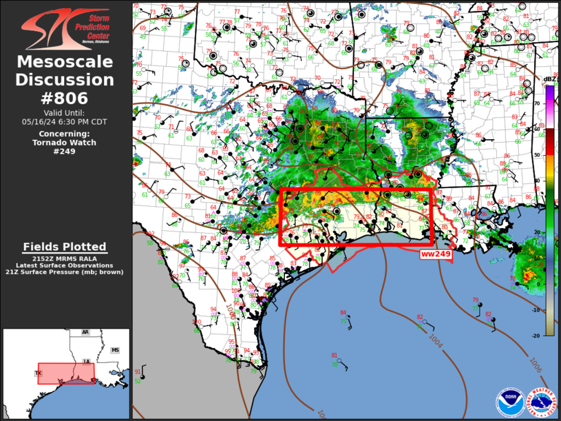
Mesoscale Discussion 0806
NWS Storm Prediction Center Norman OK
0253 PM CDT Wed May 20 2026

Areas affected...Parts of the TX Trans-Pecos and Permian Basin

Concerning...Severe potential...Watch possible

Valid 201953Z - 202200Z

Probability of Watch Issuance...40 percent

SUMMARY...Severe storms with a threat of large hail and localized
severe gusts may develop later this afternoon into the early
evening.

DISCUSSION...A large area of primarily elevated and disorganized
convection is ongoing this afternoon from near Lubbock to Midland to
west of Del Rio. Moderate MUCAPE and marginally favorable deep-layer
shear could support occasional intensification of these elevated
storms, with a threat for isolated hail.

Farther west, storms are gradually increasing in the vicinity of the
Davis Mountains, with a continued increase in coverage possible as a
low-amplitude midlevel shortwave trough approaches the region from
northern Mexico. Stronger heating has occurred in this area,
along/south of a baroclinic zone, and convection in this area could
evolve into more organized surface-based storms, with sufficient
deep-layer shear for supercell development. Moderate to locally
strong buoyancy and steep midlevel lapse rates will support
potential for large to very large hail, if any surface-based
supercells can evolve with time. Localized severe gusts will also be
possible, especially in areas along/south of the front, where
steeper low-level lapse rates are in place.

Coverage of severe storms later this afternoon into the early
evening remains uncertain, but watch issuance is possible if
development of multiple sustained severe storms appears imminent.

..Dean/Hart.. 05/20/2026

...Please see www.spc.noaa.gov for graphic product...

ATTN...WFO...EWX...SJT...MAF...

LAT...LON   29770462 31010408 31810334 31930206 31870141 31750124
            30650096 30220090 29760124 29390228 29260247 29090270
            28880311 28830346 29160435 29770462

MOST PROBABLE PEAK TORNADO INTENSITY...UP TO 90 MPH
MOST PROBABLE PEAK WIND GUST...55-70 MPH
MOST PROBABLE PEAK HAIL SIZE...1.50-2.50 IN
Read morehttps://www.spc.noaa.gov/products/md/md0806.html
|
|


CMS The Best Conveyancing solicitors conveyancing quotes throughout the UK
For any webhosting enquiries please email webmaster@aus-city.com
|
|
Forums60
Topics793,270
Posts828,053
Members2,960
| |
Most Online102,106
Jul 10th, 2026
|
|
|


 - Click image for larger picture.")


