|
|
|
0 members (),
1,151
guests, and
25
robots. |
|
Key:
Admin,
Global Mod,
Mod
|
|
S |
M |
T |
W |
T |
F |
S |
|
|
|
|
|
1
|
2
|
3
|
|
4
|
5
|
6
|
7
|
8
|
9
|
10
|
|
11
|
12
|
13
|
14
|
15
|
16
|
17
|
|
18
|
19
|
20
|
21
|
22
|
23
|
24
|
|
25
|
26
|
27
|
28
|
29
|
30
|
31
|
|
There are no members with birthdays on this day. |
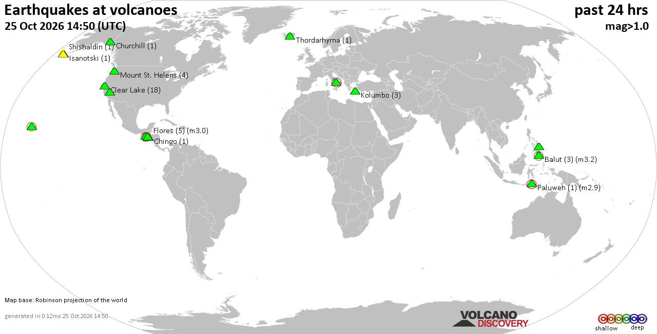
Volcano earthquake report for Sunday, 25 October 2026
• M 3.0 - 263 km SE of Chiniak, Alaska
• M 5.0 - 42 km NNW of Ruteng, Indonesia
• M 0.4 - 63 km WNW of Beluga, Alaska
• M 0.4 - 84 km NNW of Karluk, Alaska
• M 0.5 - 68 km WNW of Beluga, Alaska
|

#812707
Thu 21 May 2026 08:51:AM
|
Joined: Feb 2001
Posts: 678,977
Launch Director
|
|
Launch Director
Joined: Feb 2001
Posts: 678,977 |
SPC May 21, 2026 Day 4-8 Severe Weather OutlookDay 4-8 Outlook 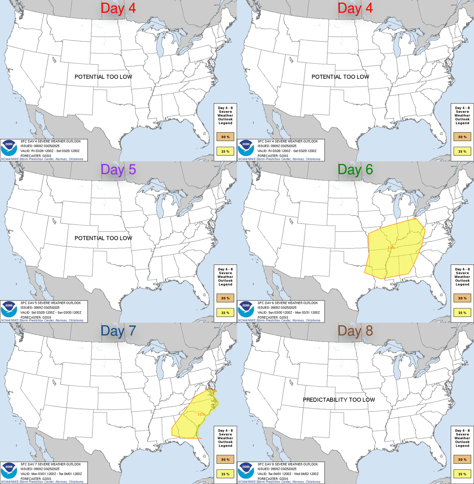
Day 4-8 Convective Outlook
NWS Storm Prediction Center Norman OK
0347 AM CDT Thu May 21 2026

Valid 241200Z - 291200Z

...DISCUSSION...
Severe potential will remain low through the beginning of the
extended period. Weak troughing will continue across the central
Plains D4/Sunday before height rises begin across the central US
with a high amplitude ridge settling in from the west D5/Monday.
This pattern will remain in place through early next week. Slow
moisture return will be ongoing across much of the Plains into the
Midwest with occasional rounds of widespread rainfall and
thunderstorms, but generally weak flow and subsidence will keep
organized storm potential low.

By the midweek, a trough is progged to begin deepening across the
Pacific Northwest. As the upper low slowly shifts eastward, stronger
flow will overspread the Intermountain West into the Northern
Rockies, resulting in strengthening lee troughing across the
central/northern Plains D6/Tuesday and D7/Wednesday. Moisture
advection will spread northward amid strengthening southerly flow
across the central/northern Plains. While there are some differences
in the placement of upper-level and surface features, it is possible
that severe chances will return across portions of northern High
Plains. For now, confidence in exact corridors remains low given
model guidance differences.
Read morehttps://www.spc.noaa.gov/products/exper/day4-8/
|
|



CMS The Best Conveyancing solicitors conveyancing quotes throughout the UK
For any webhosting enquiries please email webmaster@aus-city.com
|
|
Forums60
Topics893,838
Posts928,635
Members2,960
| |
Most Online102,106
Jul 10th, 2026
|
|
|
|
|

|









































