|
|
|
0 members (),
2,433
guests, and
141
robots. |
|
Key:
Admin,
Global Mod,
Mod
|
|
S |
M |
T |
W |
T |
F |
S |
|
|
|
|
|
|
|
1
|
|
2
|
3
|
4
|
5
|
6
|
7
|
8
|
|
9
|
10
|
11
|
12
|
13
|
14
|
15
|
|
16
|
17
|
18
|
19
|
20
|
21
|
22
|
|
23
|
24
|
25
|
26
|
27
|
28
|
29
|
|
30
|
31
|
|
|
|
|
|
|
There are no members with birthdays on this day. |
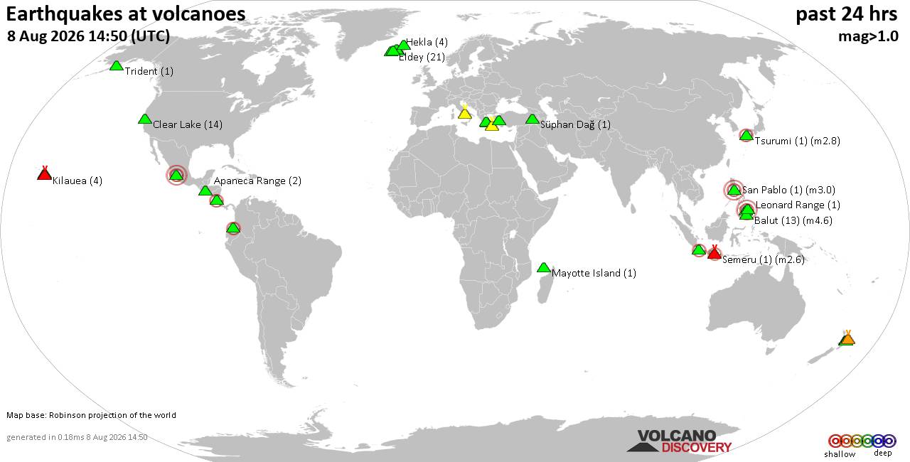
Volcano earthquake report for Saturday, 8 Aug 2026
• World Earthquake Report for Saturday, 8 August 2026
• Moderate mag. 4.3 earthquake - Departamento de Los Andes, Salta Province, A...
• Strong mag. 5.6 earthquake - Southeast of Easter Island on Saturday, Aug 8,...
• Moderate mag. 4.6 earthquake - South Pacific Ocean, 480 km east of Port Vil...
• Small magnitude 3.0 quake hits 7 km southeast of Ceillac, France around noo...
|
|
|
Joined: Feb 2001
Posts: 678,976
Launch Director
|
OP

Launch Director
Joined: Feb 2001
Posts: 678,976 |
Small magnitude 3.2 earthquake 37 km south of Rhodes, Greece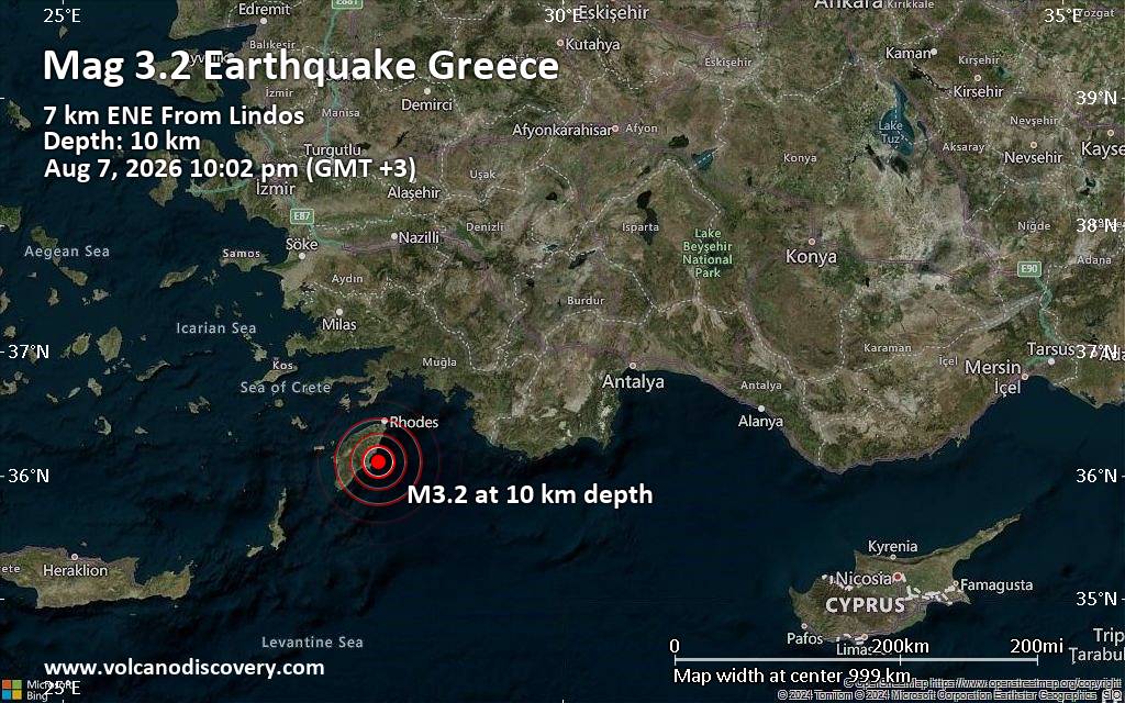 Just 9 minutes ago, a 3.2-magnitude earthquake struck near Rhodes, Dodecanese, South Aegean, Greece. The tremor was recorded late at night on Friday, August 7th, 2026, at 10:02 pm local time, at a shallow depth of 10. km below the surface.
The event was filed by the National Observatory of Athens (NOA), the first seismological agency to report it.
A second report was later issued by The Seismological Laboratory of the University of Athens (UOA), which listed it as a magnitude 3.2 earthquake as well. Other agencies reporting the same quake include the European-Mediterranean Seismological Centre (EMSC) at magnitude 3.2, The Aristotle University of Thessaloniki Geophysical Lab. (AUTH) at magnitude 3.0, and the citizen-seismograph network of RaspberryShake at magnitude 3.2.
Weak shaking might have been felt in Lindos (pop. 720) located 7 km from the epicenter, Archangelos (pop. 5,400) 12 km away, and Lardos (pop. 1,300) 13 km away.
Other towns or cities near the epicenter where the quake might have been felt as very weak shaking include Afantou (pop. 5,600) located 20 km from the epicenter, Faliraki (pop. 6,000) 26 km away, Koskinou (pop. 4,900) 31 km away, Kremasti (pop. 4,700) 34 km away, and Ialysos (pop. 11,300) 34 km away. In Rhodes (pop. 56,100, 37 km away), the quake was probably not felt.
Earthquake data: Date & time: Aug 7, 2026 10:02 pm (Athens time) local time (7 Aug 2026 19:02 GMT)Magnitude: 3.2 Depth: 10.00 km Epicenter latitude / longitude: 36.11°N / 28.16°E  ( South Aegean, Greece) Primary data source: NOAhttps://www.volcanodiscovery.com/earthquake/news/323049/Small-magnitude-32-earthquake-37-km-south-of-Rhodes-Greece.html
|
|



CMS The Best Conveyancing solicitors conveyancing quotes throughout the UK
For any webhosting enquiries please email webmaster@aus-city.com
|
|
Forums60
Topics795,195
Posts829,984
Members2,960
| |
Most Online102,106
Jul 10th, 2026
|
|
|
|
|

|