|
0 members (),
5,527
guests, and
26
robots. |
|
Key:
Admin,
Global Mod,
Mod
|
|
S |
M |
T |
W |
T |
F |
S |
|
|
|
1
|
2
|
3
|
4
|
5
|
|
6
|
7
|
8
|
9
|
10
|
11
|
12
|
|
13
|
14
|
15
|
16
|
17
|
18
|
19
|
|
20
|
21
|
22
|
23
|
24
|
25
|
26
|
|
27
|
28
|
29
|
30
|
|
|
|
|
There are no members with birthdays on this day. |

Small magnitude 3.6 earthquake strikes near Great Falls, Cascade County, Montana, USA
• Volcano earthquake report for Friday, 18 September 2026
• Possible earthquake reported minutes ago near Great Falls, Montana, USA
• Magnitude 4.6 earthquake strikes near Ponce, Segundo Barrio, Ponce Municipi...
• Small magnitude 3.4 earthquake strikes near Skegness, Lincolnshire, England...
• World Earthquake Report for Friday, 18 September 2026
|

#838391
Tue 25 Aug 2026 10:37:PM
|
Joined: Feb 2001
Posts: 678,977
Launch Director
|
|
Launch Director
Joined: Feb 2001
Posts: 678,977 |
SPC MD 2130MD 2130 CONCERNING SEVERE POTENTIAL...WATCH POSSIBLE FOR PORTIONS OF FAR SOUTHWESTERN OKLAHOMA INTO NORTHWESTERN TEXAS 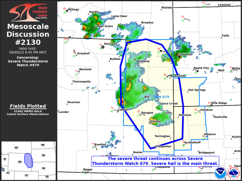
Mesoscale Discussion 2130
NWS Storm Prediction Center Norman OK
0457 PM CDT Tue Aug 25 2026

Areas affected...portions of far southwestern Oklahoma into
northwestern Texas

Concerning...Severe potential...Watch possible

Valid 252157Z - 252300Z

Probability of Watch Issuance...40 percent

SUMMARY...A few of the stronger storms may continue to produce
severe hail and perhaps severe gusts, especially if storms can
progress further south into a deeper/dry airmass. Trends are being
monitored closely for the need of a Severe Thunderstorm Watch
issuance.

DISCUSSION...A multicellular cluster continues to propagate
southward, with a history of producing measured hail over 1 inch in
diameter, with MRMS MESH indicating up to 2 inch diameter hail
potentially falling. As these storms continue to propagate farther
south, they will encounter an even drier/deeper boundary layer,
which may foster enough evaporative cooling to generate a few severe
gusts via dry microbursts. It is unclear how far south storms will
progress given increasingly weaker downstream deep-layer shear and
overall drier air. Convective trends will continue to be monitored
for the need of a Severe Thunderstorm Watch issuance.

..Squitieri/Thompson.. 08/25/2026

...Please see www.spc.noaa.gov for graphic product...

ATTN...WFO...OUN...SJT...LUB...AMA...

LAT...LON   33690050 34890052 35290038 35500018 35520011 35359976
            34389921 33919898 33369923 33249949 33270011 33690050

MOST PROBABLE PEAK WIND GUST...65-80 MPH
MOST PROBABLE PEAK HAIL SIZE...UP TO 1.25 IN
Read morehttps://www.spc.noaa.gov/products/md/md2130.html
|
|



CMS The Best Conveyancing solicitors conveyancing quotes throughout the UK
For any webhosting enquiries please email webmaster@aus-city.com
|
|
Forums60
Topics830,668
Posts865,463
Members2,960
| |
Most Online102,106
Jul 10th, 2026
|
|
|





































