|
1 members (Alisa),
4,945
guests, and
21
robots. |
|
Key:
Admin,
Global Mod,
Mod
|
|
S |
M |
T |
W |
T |
F |
S |
|
|
|
1
|
2
|
3
|
4
|
5
|
|
6
|
7
|
8
|
9
|
10
|
11
|
12
|
|
13
|
14
|
15
|
16
|
17
|
18
|
19
|
|
20
|
21
|
22
|
23
|
24
|
25
|
26
|
|
27
|
28
|
29
|
30
|
|
|
|
|
There are no members with birthdays on this day. |
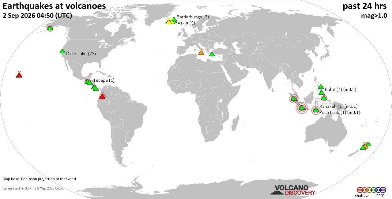
Volcano earthquake report for Wednesday, 2 September 2026
• Moderate mag. 4.0 earthquake - Estado de Oaxaca, Mexico, on Wednesday, Sep ...
• Moderate mag. 4.0 earthquake - Estado de Oaxaca, Mexico, on Wednesday, Sep ...
|
|
|
Joined: Feb 2001
Posts: 678,977
Launch Director
|
|
Launch Director
Joined: Feb 2001
Posts: 678,977 |
Issued at 1100 PM HST Wed Sep 02 2026 000
WTPA44 PHFO 030858
TCDCP4
Hurricane Lowell Discussion Number 28
NWS Central Pacific Hurricane Center Honolulu HI EP122026
Issued by NWS National Hurricane Center Miami FL
1100 PM HST Wed Sep 02 2026
Lowell's satellite presentation has continued to weaken this
evening, with some thinning of the eyewall convection, though it
remains a formidable hurricane. The latest Dvorak intensity
estimates have a wide range, from 102-125 kt. Based on continuity
from the earlier higher NOAA Hurricane Hunter data, the initial
intensity is set to 125 kt. Lowell should remain in a low-shear,
warm-water environment for at least the next few days. While the
new forecast shows no net changes, we expect fluctuations in
intensity both up and down, dependent on nearly impossible to
predict eyewall replacement cycles. Vertical wind shear should
increase some by the end of the forecast period, so a more steady
weakening is shown by that time.
The initial motion remains 270/9 kt. Lowell is being steered by a
low- to mid-level ridge to the north, and due to this feature
the hurricane should continue moving westward for the next 2-3
days. After that, the track of the hurricane will be controlled by
a complex developing mid- to upper-level trough currently seen in
water vapor imagery near 32N 162W. The feature is forecast to break
the ridge down over the weekend, which should cause Lowell to turn
sharply northward or north-northeastward. However, the details of
this turn are extremely difficult to diagnose at this time frame,
and there is a wide range of possibilities. The new NHC forecast is
a bit left of the last one in a few days time, but ends up very
close to the previous forecast at day 5. Given the large spread,
this is a low-confidence prediction for early next week.
KEY MESSAGES:
1. The details of Lowell's long-range track and intensity forecasts
are more uncertain than usual, and it is too soon to determine
potential impacts in the Hawaiian Islands.
2. Interests in Hawaii should continue to closely monitor the
progress of Lowell through this upcoming weekend. This is a good
time for all residents to ensure they have their hurricane plan and
supply kit in place.
3. Swells from Lowell are expected to cause life-threatening surf
and rip current conditions in portions of the Hawaiian Islands
during the next several days. Depending on the exact track of the
storm, these swells are likely to increase early next week.
FORECAST POSITIONS AND MAX WINDS
INIT 03/0900Z 13.3N 156.3W 125 KT 145 MPH
12H 03/1800Z 13.4N 157.6W 125 KT 145 MPH
24H 04/0600Z 13.5N 159.1W 125 KT 145 MPH
36H 04/1800Z 13.6N 160.5W 125 KT 145 MPH
48H 05/0600Z 13.7N 161.8W 125 KT 145 MPH
60H 05/1800Z 14.0N 162.9W 125 KT 145 MPH
72H 06/0600Z 14.5N 163.5W 125 KT 145 MPH
96H 07/0600Z 16.5N 164.0W 120 KT 140 MPH
120H 08/0600Z 20.2N 162.6W 105 KT 120 MPH
$$
Forecaster Blake Source: Hurricane Lowell Forecast Discussion Number 28
|
|



CMS The Best Conveyancing solicitors conveyancing quotes throughout the UK
For any webhosting enquiries please email webmaster@aus-city.com
|
|
Forums60
Topics817,707
Posts852,500
Members2,960
| |
Most Online102,106
Jul 10th, 2026
|
|
|





































