|
|
|
1 members (Alisa),
2,656
guests, and
26
robots. |
|
Key:
Admin,
Global Mod,
Mod
|
|
S |
M |
T |
W |
T |
F |
S |
|
|
|
|
|
1
|
2
|
3
|
|
4
|
5
|
6
|
7
|
8
|
9
|
10
|
|
11
|
12
|
13
|
14
|
15
|
16
|
17
|
|
18
|
19
|
20
|
21
|
22
|
23
|
24
|
|
25
|
26
|
27
|
28
|
29
|
30
|
31
|
|
There are no members with birthdays on this day. |
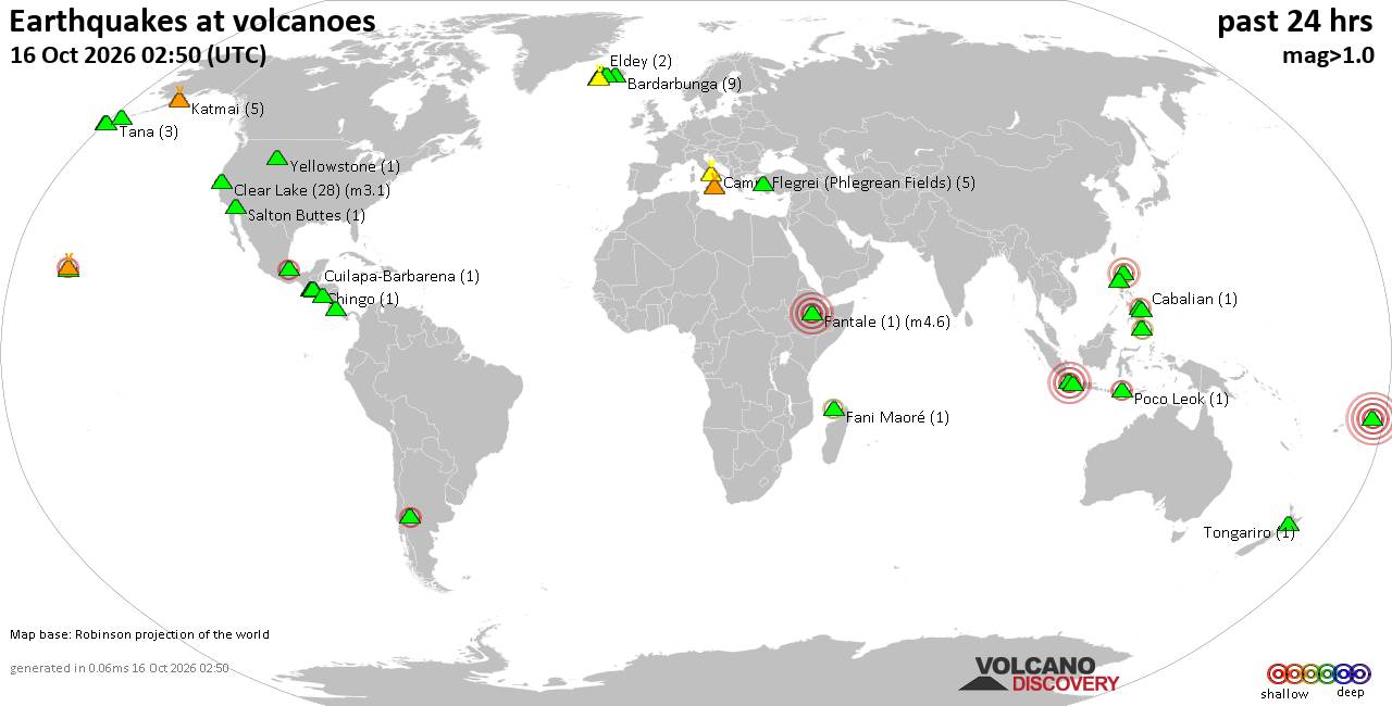
Volcano earthquake report for Friday, 16 October 2026
• M 3.1 - 202 km SE of Atka, Alaska
• M 2.3 - 40 km E of Chase, Alaska
• M 3.6 - 2 km NW of Knik, Alaska
• M 3.3 - 65 km NE of Punta Cana, Dominican Republic
• M 3.6 - 282 km ESE of Chiniak, Alaska
|

#906639
Mon 12 Oct 2026 12:50:AM
|
Joined: Feb 2001
Posts: 678,977
Launch Director
|
|
Launch Director
Joined: Feb 2001
Posts: 678,977 |
SPC Oct 12, 2026 0100 UTC Day 1 Convective OutlookSPC 0100Z Day 1 Outlook 
Day 1 Convective Outlook
NWS Storm Prediction Center Norman OK
0747 PM CDT Sun Oct 11 2026

Valid 120100Z - 121200Z

...THERE IS A MARGINAL RISK OF SEVERE THUNDERSTORMS ACROSS PARTS OF
THE MID-ATLANTIC AND DESERT SOUTHWEST...

...SUMMARY...
Thunderstorms with and isolated tornado threat will be possible this
evening near the Mid-Atlantic coast. Isolated severe gusts will also
be possible across parts of the Desert Southwest.

...Mid Atlantic...
Water vapor imagery currently shows a mid-level shortwave trough
over the southern Appalachians. The eastern periphery of the system
is located from the Mid-Atlantic extending offshore into the western
Atlantic. At the surface, an axis of low-level moisture is located
from far eastern North Carolina into southeast Virginia, along which
the RAP has MLCAPE in the 500 to 1000 J/kg range. Isolated
thunderstorm development will continue to be possible near the
instability axis this evening. Strong low-level shear associated
with a speed max along the Mid-Atlantic coast will continue an
isolated tornado threat for a few more hours the evening.

...Desert Southwest...
Southwesterly mid-level flow is in place over the Desert Southwest
this evening. At the surface, a moist axis is located across western
Arizona, where dewpoints are in the 50s and 60s F. Along and near
the moist axis, the RAP shows weak instability in place with SBCAPE
around 500 J/kg. Over the top of this airmass, strong flow is
present in the mid-levels according to RAP forecast soundings, which
is creating 0-6 km shear around 50 knots over much western and
central Arizona into southern Utah. This may be enough for an
isolated potential for severe wind gusts this evening.

..Broyles.. 10/12/2026
Read morehttps://www.spc.noaa.gov/products/outlook/day1otlk_0100.html
|
|



CMS The Best Conveyancing solicitors conveyancing quotes throughout the UK
For any webhosting enquiries please email webmaster@aus-city.com
|
|
Forums60
Topics879,124
Posts913,920
Members2,960
| |
Most Online102,106
Jul 10th, 2026
|
|
|
|
|

|









































