|
|
|
0 members (),
1,392
guests, and
26
robots. |
|
Key:
Admin,
Global Mod,
Mod
|
|
S |
M |
T |
W |
T |
F |
S |
|
|
|
|
|
1
|
2
|
3
|
|
4
|
5
|
6
|
7
|
8
|
9
|
10
|
|
11
|
12
|
13
|
14
|
15
|
16
|
17
|
|
18
|
19
|
20
|
21
|
22
|
23
|
24
|
|
25
|
26
|
27
|
28
|
29
|
30
|
31
|
|
There are no members with birthdays on this day. |
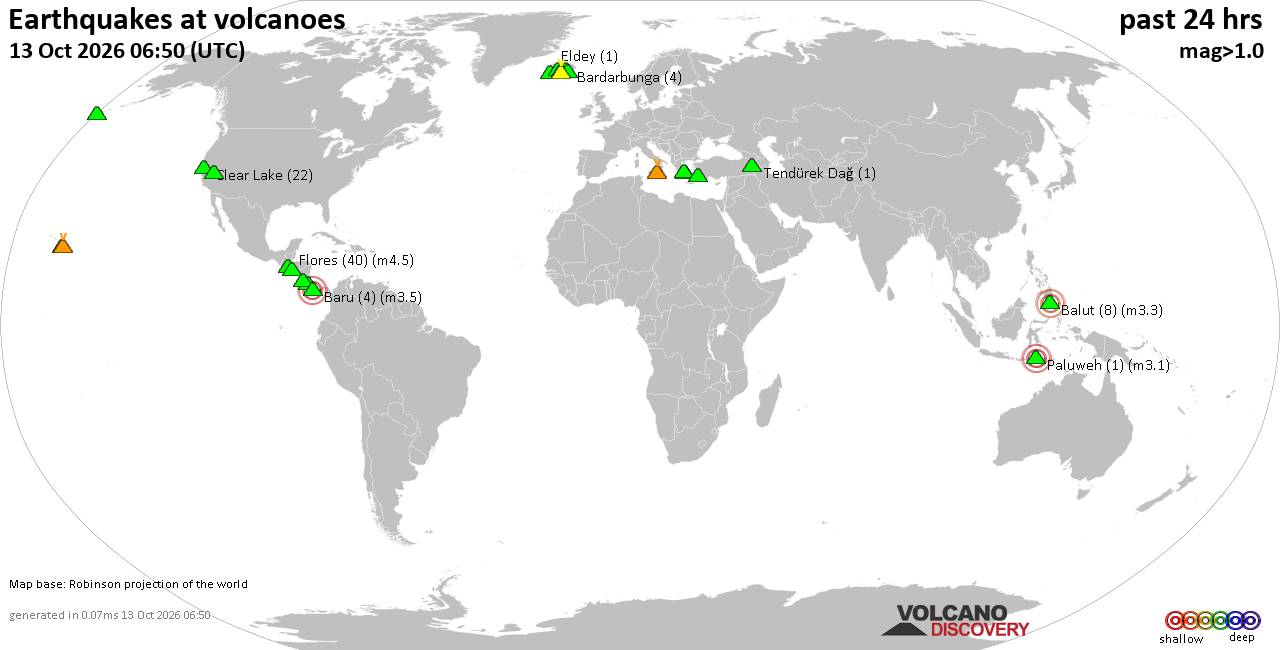
Volcano earthquake report for Tuesday, 13 October 2026
• M 2.7 - 19 km SSW of Leilani Estates, Hawaii
• M 2.5 - 5 km SSW of Pāhala, Hawaii
• M 1.9 - 15 km NE of Milford, Utah
• M 1.8 - 116 km E of Cordova, Alaska
• M 1.2 - 15 km NE of Little Lake, CA
• M 2.0 - 82 km ESE of Ugashik, Alaska
|
|
|
Joined: Feb 2001
Posts: 678,977
Launch Director
|
|
Launch Director
Joined: Feb 2001
Posts: 678,977 |
SPC Oct 13, 2026 1930 UTC Day 3 Severe Thunderstorm OutlookSPC 1930Z Day 3 Outlook 
Day 3 Convective Outlook
NWS Storm Prediction Center Norman OK
0230 PM CDT Tue Oct 13 2026

Valid 151200Z - 161200Z

...THERE IS A MARGINAL RISK OF SEVERE THUNDERSTORMS ACROSS PORTIONS
OF THE MID MISSISSIPPI VALLEY AND MIDWEST...

...SUMMARY...
Isolated severe storms are possible over portions of the mid-
Mississippi Valley and Midwest Thursday afternoon and evening.

...Mid MS Valley/Midwest...
The upper low ejecting over the central Plains is forecast to weaken
to a positive-tilt open wave as it continues eastward and merges
with a northern stream trough from southern Canada late Thursday.
The lee low over KS will continue eastward and strengthen as a
diffuse warm front lifts northward across the Mid MS and lower OH
Valleys. A cold front will trail the low, sweeping south and east
from the MO valley into the southern Plains.

Scattered to numerous thunderstorms are expected to be ongoing early
Thursday ahead of the low within a zone of low-level warm air
advection from the central Plains into the mid-MS Valley. A narrow
plume of upper 60s to low 70s F dewpoints will be advected
northeastward ahead of this activity across eastern IA/MO into
western IL. Modest clearing/heating of the air mass should support
weak destabilization with MLCAPE of 500-750 J/kg. This will allow
for intensification of the storms/new development through the
afternoon. Increasing ascent/vertical shear (EBWD 45-60 kt) will
support the potential for one or more organized clusters of storms
capable of damaging wind gusts through Thursday evening.

Farther southwest across OK/TX, a broken band of showers and storms
may still be ongoing ahead of the surging cold front Thursday
morning. Low-level flow should quickly veer as the front accelerates
favoring undercutting. Poor lapse rates, multiple rounds of prior
precipitation and rapidly decreasing surface moisture suggest only
weak buoyancy will be present. This should limit severe potential,
though a stray severe gust cannot be completely ruled out.

..Lyons.. 10/13/2026
Read morehttps://www.spc.noaa.gov/products/outlook/day3otlk_1930.html
|
|



CMS The Best Conveyancing solicitors conveyancing quotes throughout the UK
For any webhosting enquiries please email webmaster@aus-city.com
|
|
Forums60
Topics873,200
Posts907,996
Members2,960
| |
Most Online102,106
Jul 10th, 2026
|
|
|
|
|

|









































