|
|
|
0 members (),
1,479
guests, and
23
robots. |
|
Key:
Admin,
Global Mod,
Mod
|
|
S |
M |
T |
W |
T |
F |
S |
|
|
|
|
|
1
|
2
|
3
|
|
4
|
5
|
6
|
7
|
8
|
9
|
10
|
|
11
|
12
|
13
|
14
|
15
|
16
|
17
|
|
18
|
19
|
20
|
21
|
22
|
23
|
24
|
|
25
|
26
|
27
|
28
|
29
|
30
|
31
|
|
There are no members with birthdays on this day. |

Volcano earthquake report for Monday, 19 October 2026
• M 2.1 - 29 km NNW of Petersville, Alaska
• M 4.2 - 5 km NE of Mangatainoka, New Zealand
• M 4.4 - 260 km WSW of Adak, Alaska
• M 2.7 - 13 km SW of Manley Hot Springs, Alaska
• M 0.4 - 40 km SSE of Mammoth, Wyoming
|
|
|
Joined: Feb 2001
Posts: 678,977
Launch Director
|
|
Launch Director
Joined: Feb 2001
Posts: 678,977 |
SPC Oct 19, 2026 Day 4-8 Severe Weather OutlookDay 4-8 Outlook 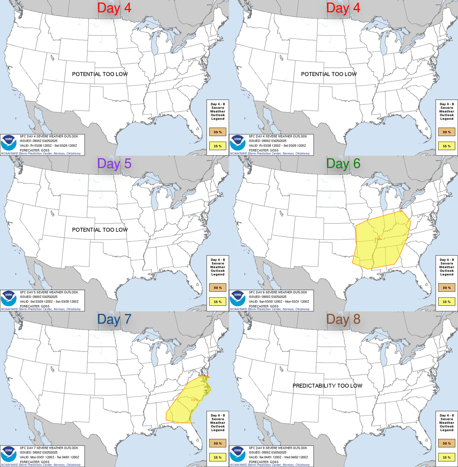
Day 4-8 Convective Outlook
NWS Storm Prediction Center Norman OK
0330 AM CDT Mon Oct 19 2026

Valid 221200Z - 271200Z

...DISCUSSION...
A mid-level trough will progress across the Rockies late this week
and eject into the central and northern Plains states this weekend.
Thereafter, a more zonal, progressive upper-air pattern will become
established across the CONUS, with stronger flow aloft relegated to
the northern CONUS, and multiple mid-level impulses poised to
traverse this flow into early next week. At the moment, the best
chance for any severe potential (albeit isolated) will be across the
Desert Southwest on Day 4 (Thursday) and across the High Plains on
Day 5 (Friday). In the Days 4-5 period, along the eastern portion of
the upper trough, a belt of 50-60 kt mid-level flow will overspread
the Desert Southwest into the southern and central High Plains, atop
modest low-level moisture. Marginal instability and strong vertical
wind shear should overlap across the Desert Southwest on Thursday
and over the southern to central High Plains on Friday to support
scattered strong thunderstorms, a couple of which may briefly reach
severe limits. Given the anticipated isolated nature of the severe
threat, as also suggested by ML/AI guidance, severe probabilities
were not introduced this outlook.
Read morehttps://www.spc.noaa.gov/products/exper/day4-8/
|
|



CMS The Best Conveyancing solicitors conveyancing quotes throughout the UK
For any webhosting enquiries please email webmaster@aus-city.com
|
|
Forums60
Topics883,639
Posts918,436
Members2,960
| |
Most Online102,106
Jul 10th, 2026
|
|
|
|
|

|









































