|
|
|
0 members (),
1,680
guests, and
26
robots. |
|
Key:
Admin,
Global Mod,
Mod
|
|
S |
M |
T |
W |
T |
F |
S |
|
|
|
|
|
1
|
2
|
3
|
|
4
|
5
|
6
|
7
|
8
|
9
|
10
|
|
11
|
12
|
13
|
14
|
15
|
16
|
17
|
|
18
|
19
|
20
|
21
|
22
|
23
|
24
|
|
25
|
26
|
27
|
28
|
29
|
30
|
31
|
|
There are no members with birthdays on this day. |

Volcano earthquake report for Thursday, 22 October 2026
• M 3.0 - 3 km W of Columbia City, Oregon
• M 4.1 - 65 km NE of Tadine, New Caledonia
• M 2.1 - 126 km WSW of Adak, Alaska
• M 1.5 - 26 km E of Honaunau-Napoopoo, Hawaii
• M 2.2 - 69 km SW of Nanwalek, Alaska
|
|
|
Joined: Feb 2001
Posts: 678,977
Launch Director
|
|
Launch Director
Joined: Feb 2001
Posts: 678,977 |
SPC Oct 21, 2026 Day 4-8 Severe Weather OutlookDay 4-8 Outlook 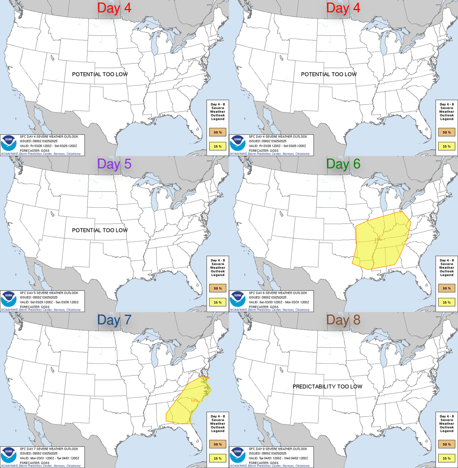
Day 4-8 Convective Outlook
NWS Storm Prediction Center Norman OK
0300 AM CDT Wed Oct 21 2026

Valid 241200Z - 291200Z

...DISCUSSION...
A mid-level trough gradually progressing across the Rockies this
weekend will eject into the Plains, with the prevailing mid-level
flow pattern becoming more zonal and progressive through next week.
Surface high pressure and attendant subsidence will overspread most
of the CONUS east of the Rockies, limiting thunderstorm development
through at least early next week. The best chance for any severe
weather (albeit sparse) would be across the southern Rockies Day 4
(Saturday), where a buoyant airmass will reside ahead of the upper
trough prior to ejection.

Medium range guidance depicts the eastward progression and
amplification of another upper trough toward the middle of next
week, which should encourage strong surface troughing and the
progression of a cold front across the central U.S. The southern
extent of the front may interact with a potentially buoyant airmass
over the southern Plains, most likely around Day 8 (Wednesday) or
beyond. While at least isolated severe storms are possible,
questions regarding the placement and timing of the front, and lack
of consistency among guidance precludes severe probabilities this
outlook.
Read morehttps://www.spc.noaa.gov/products/exper/day4-8/
|
|



CMS The Best Conveyancing solicitors conveyancing quotes throughout the UK
For any webhosting enquiries please email webmaster@aus-city.com
|
|
Forums60
Topics889,200
Posts923,997
Members2,960
| |
Most Online102,106
Jul 10th, 2026
|
|
|
|
|

|









































