|
0 members (),
1,680
guests, and
26
robots. |
|
Key:
Admin,
Global Mod,
Mod
|
|
S |
M |
T |
W |
T |
F |
S |
|
|
|
|
|
1
|
2
|
3
|
|
4
|
5
|
6
|
7
|
8
|
9
|
10
|
|
11
|
12
|
13
|
14
|
15
|
16
|
17
|
|
18
|
19
|
20
|
21
|
22
|
23
|
24
|
|
25
|
26
|
27
|
28
|
29
|
30
|
31
|
|
There are no members with birthdays on this day. |

Volcano earthquake report for Thursday, 22 October 2026
• M 3.0 - 3 km W of Columbia City, Oregon
• M 4.1 - 65 km NE of Tadine, New Caledonia
• M 2.1 - 126 km WSW of Adak, Alaska
• M 1.5 - 26 km E of Honaunau-Napoopoo, Hawaii
• M 2.2 - 69 km SW of Nanwalek, Alaska
|
|
|
Joined: Feb 2001
Posts: 678,977
Launch Director
|
|
Launch Director
Joined: Feb 2001
Posts: 678,977 |
SPC Day 3-8 Fire Weather OutlookSPC Day 3-8 Fire Weather Outlook 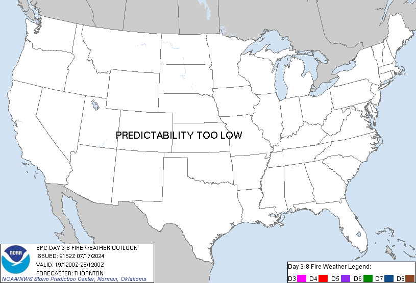
Day 3-8 Fire Weather Outlook
NWS Storm Prediction Center Norman OK
0433 PM CDT Wed Oct 21 2026

Valid 231200Z - 291200Z

While upper-level high pressure persists across the middle of the
country, a significant trough will impact the western CONUS. This
pattern will continue near-normal temperatures amid dry conditions
over much of the Southeast US. Vegetation in this area will become
increasingly vulnerable to burning, especially across the southern
Appalachian Mountains and the lower Mississippi River Valley, where
ERCs are forecast to reach the 90-95th percentiles. However,
generally weak winds will limit the overall fire threat there.

The upper-level trough currently located off the CA coast will
slowly drift northeastward, placing its axis through the central
Great Basin on Day 3/Friday and eventually the Great Plains by Day
6/Monday. Expect resulting colder air and widespread precipitation
across a large portion of the Intermountain region, portions of the
Sierras, and the coastal CA mountains where fuels have been
persistently dry. However, relatively dry portions of the northern
High Plains will experience strong and gusty southwest winds
(sustained near 20-30 mph) amid borderline afternoon RHs of 20-30%
on Day 3/Friday. Even so, much warmer than normal temperatures ahead
of a cold front passage, expected to occur after sunset across the
region, will allow for elevated to near-critical fire weather
conditions from portions of north-central WY through far western SD.
Thus, an area of 40% probability of critical wind/RH was introduced
over portions of this region for Day 3/Friday.

Moving forward in time to next week, forecast uncertainty increases.
However, recent guidance trends indicate that an upper-level ridge
is likely to return to the Intermountain West by mid-to-late next
week. Embedded shortwave troughs will continue to propagate through
the flow, maintaining chances for precipitation across much of the
northwestern quadrant of the CONUS.

..Stearns.. 10/21/2026

...Please see www.spc.noaa.gov/fire for graphic product...
Read morehttps://www.spc.noaa.gov/products/exper/fire_wx/
|
|



CMS The Best Conveyancing solicitors conveyancing quotes throughout the UK
For any webhosting enquiries please email webmaster@aus-city.com
|
|
Forums60
Topics889,200
Posts923,997
Members2,960
| |
Most Online102,106
Jul 10th, 2026
|
|
|









































