|
|
|
0 members (),
1,527
guests, and
26
robots. |
|
Key:
Admin,
Global Mod,
Mod
|
|
S |
M |
T |
W |
T |
F |
S |
|
|
|
|
|
1
|
2
|
3
|
|
4
|
5
|
6
|
7
|
8
|
9
|
10
|
|
11
|
12
|
13
|
14
|
15
|
16
|
17
|
|
18
|
19
|
20
|
21
|
22
|
23
|
24
|
|
25
|
26
|
27
|
28
|
29
|
30
|
31
|
|
There are no members with birthdays on this day. |
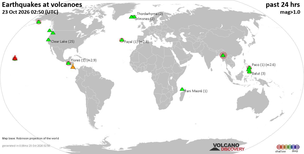
Volcano earthquake report for Friday, 23 October 2026
• M 1.5 - 16 km ESE of Pearsall, Texas
• M 0.4 - 65 km WNW of Beluga, Alaska
• M 1.3 - 6 km NW of The Geysers, CA
• M 1.5 - 16 km SSW of Bigfoot, Texas
• M 1.3 - 4 km SW of Redlands, CA
|
|
|
Joined: Feb 2001
Posts: 678,977
Launch Director
|
|
Launch Director
Joined: Feb 2001
Posts: 678,977 |
SPC Oct 23, 2026 Day 4-8 Severe Weather OutlookDay 4-8 Outlook 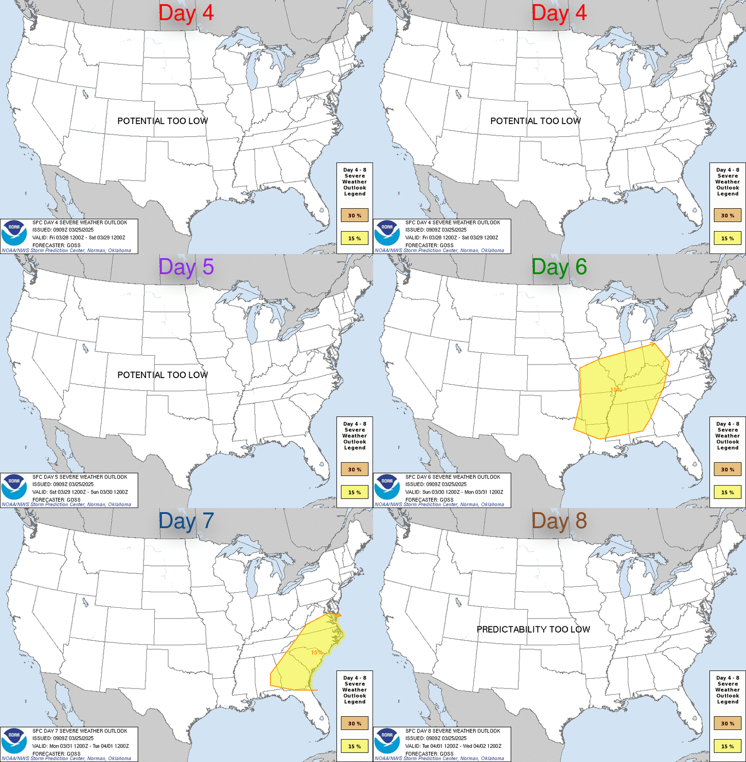
Day 4-8 Convective Outlook
NWS Storm Prediction Center Norman OK
0248 AM CDT Fri Oct 23 2026

Valid 261200Z - 311200Z

...DISCUSSION...
A series of upper troughs will move across portions of the northern
and central U.S. during the Day 4-8 period. Around the middle of the
work (Day 6/Wed), a larger-scale upper trough is forecast to develop
across the Plains and Midwest, and eventually the eastern U.S. by
the weekend. As this occurs, a cold front will develop southeast
across much of the CONUS east of the Rockies. While this will likely
support some thunderstorm and shower activity, boundary layer
moisture will remain limited, and only weak instability is forecast
and will largely remain displaced from stronger deep-layer flow.
Overall, severe potential appears low through Day 8/Fri.
Read morehttps://www.spc.noaa.gov/products/exper/day4-8/
|
|



CMS The Best Conveyancing solicitors conveyancing quotes throughout the UK
For any webhosting enquiries please email webmaster@aus-city.com
|
|
Forums60
Topics890,065
Posts924,862
Members2,960
| |
Most Online102,106
Jul 10th, 2026
|
|
|
|
|

|









































