|
|
|
0 members (),
2,612
guests, and
21
robots. |
|
Key:
Admin,
Global Mod,
Mod
|
|
S |
M |
T |
W |
T |
F |
S |
|
1
|
2
|
3
|
4
|
5
|
6
|
7
|
|
8
|
9
|
10
|
11
|
12
|
13
|
14
|
|
15
|
16
|
17
|
18
|
19
|
20
|
21
|
|
22
|
23
|
24
|
25
|
26
|
27
|
28
|
|
29
|
30
|
|
|
|
|
|
|
There are no members with birthdays on this day. |
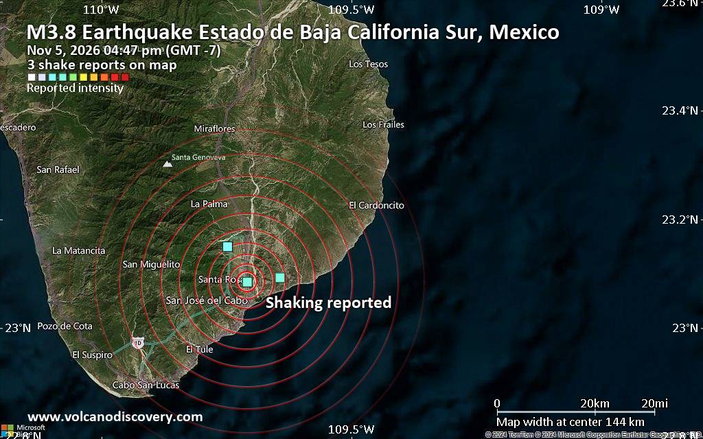
Seismic-like event, possible earthquake, reported minutes ago near Cabo San Lucas, Baja California Sur, Mexico
• M 3.0 - 124 km W of Adak, Alaska
• M 5.0 - 111 km W of Petrolia, CA
• Moderate mag. 4.7 earthquake - Bismarck Sea, 33 km south of Long Island, Ma...
• M 0.8 - 86 km NW of Karluk, Alaska
• M 0.5 - 7 km NW of The Geysers, CA
• M 2.7 - 33 km SSW of Akutan, Alaska
|
|
|
Joined: Feb 2001
Posts: 800,656
Launch Director
|
|
Launch Director
Joined: Feb 2001
Posts: 800,656 |
SPC Nov 5, 2026 1930 UTC Day 3 Severe Thunderstorm OutlookSPC 1930Z Day 3 Outlook 
Day 3 Convective Outlook
NWS Storm Prediction Center Norman OK
1259 PM CST Thu Nov 05 2026

Valid 071200Z - 081200Z

...NO SEVERE THUNDERSTORM AREAS FORECAST...

...SUMMARY...
Severe thunderstorms are not expected on Saturday.

...Synopsis...

Surface high pressure will envelop much of the CONUS on Saturday, in
the wake of a prior cold frontal passage. This will result in any
appreciable boundary layer moisture being relegated to deep South TX
and parts of the FL Peninsula. Thunderstorm chances will largely be
negligible across most of the Lower 48 given scant boundary layer
moisture and little instability. The exception may be across parts
of southwest/central TX. Weak elevated instability due to cool
temperatures aloft, and a warm advection regime within the 850-700
mb layer support isolated lightning flashes from elevated
convection. Severe storms are not anticipated with this activity.

..Leitman.. 11/05/2026
Read morehttps://www.spc.noaa.gov/products/outlook/day3otlk_1930.html
|
|



CMS The Best Conveyancing solicitors conveyancing quotes throughout the UK
For any webhosting enquiries please email webmaster@aus-city.com
|
|
Forums60
Topics913,381
Posts948,178
Members2,960
| |
Most Online102,106
Jul 10th, 2026
|
|
|
|
|

|









































