|
|
|
0 members (),
3,324
guests, and
18
robots. |
|
Key:
Admin,
Global Mod,
Mod
|
|
S |
M |
T |
W |
T |
F |
S |
|
1
|
2
|
3
|
4
|
5
|
6
|
7
|
|
8
|
9
|
10
|
11
|
12
|
13
|
14
|
|
15
|
16
|
17
|
18
|
19
|
20
|
21
|
|
22
|
23
|
24
|
25
|
26
|
27
|
28
|
|
29
|
30
|
|
|
|
|
|
|
There are no members with birthdays on this day. |
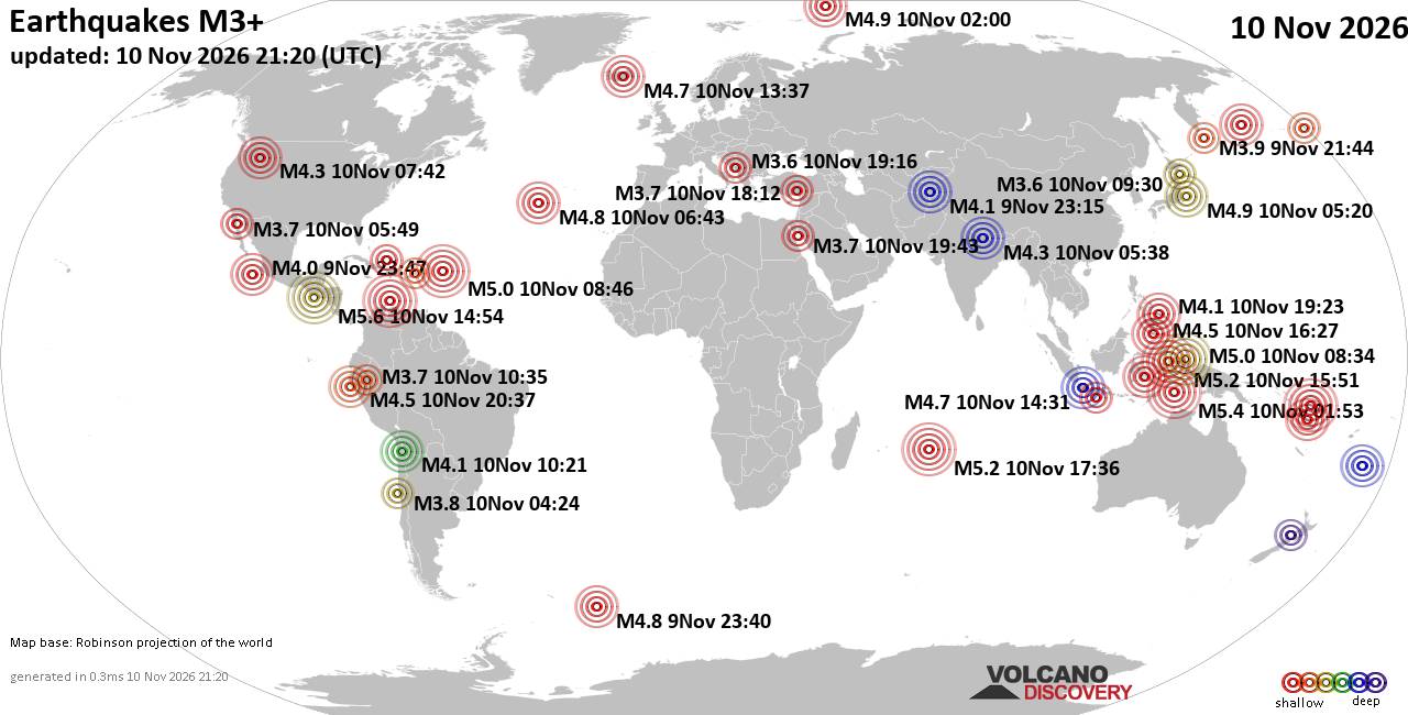
World Earthquake Report for Tuesday, 10 November 2026
• M -0.3 - 76 km NE of Nikolski, Alaska
• M 1.1 - 9 km S of Lake Henshaw, CA
• M 1.7 - 0 km SW of Pāhala, Hawaii
• M 1.2 - 26 km WSW of Westley, CA
• M 1.2 - 10 km W of Forsan, Texas
|
|
|
Joined: Feb 2001
Posts: 800,656
Launch Director
|
|
Launch Director
Joined: Feb 2001
Posts: 800,656 |
SPC Day 3-8 Fire Weather OutlookSPC Day 3-8 Fire Weather Outlook 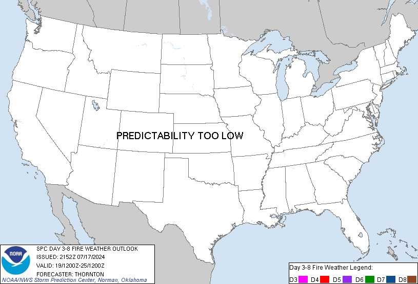
Day 3-8 Fire Weather Outlook
NWS Storm Prediction Center Norman OK
0258 PM CST Tue Nov 10 2026

Valid 121200Z - 181200Z

...Synopsis...
An amplified upper-level pattern will be in place across CONUS for
Days 3-4/Thursday-Friday with ridging across the Intermountain West
and deepening upper trough across the eastern U.S. At the surface,
drier northwest flow will push into the Southeast behind a cold
front as high pressure settles into the region Days
3-4/Thursday-Friday. However, the absence of overlapping low RH and
stronger sustained winds (greater than 10 mph) atop sufficiently dry
fuels precludes the introduction of critical probabilities across
portions of the Deep South and Southeast. Cooler temperatures and
lighter winds will generally subdue the fire weather threat for the
weekend into early next week across the eastern U.S. as surface high
pressure lingers over the region. An active upper wave pattern
develops Days 4-8/Friday-Tuesday across the West as several troughs
bring rain and higher elevation snow into the region, minimizing
fire weather concerns.

..Williams.. 11/10/2026

...Please see www.spc.noaa.gov/fire for graphic product...
Read morehttps://www.spc.noaa.gov/products/exper/fire_wx/
|
|



CMS The Best Conveyancing solicitors conveyancing quotes throughout the UK
For any webhosting enquiries please email webmaster@aus-city.com
|
|
Forums60
Topics920,920
Posts955,717
Members2,960
| |
Most Online102,106
Jul 10th, 2026
|
|
|
|
|

|









































