|
|
|
0 members (),
3,839
guests, and
24
robots. |
|
Key:
Admin,
Global Mod,
Mod
|
|
S |
M |
T |
W |
T |
F |
S |
|
1
|
2
|
3
|
4
|
5
|
6
|
7
|
|
8
|
9
|
10
|
11
|
12
|
13
|
14
|
|
15
|
16
|
17
|
18
|
19
|
20
|
21
|
|
22
|
23
|
24
|
25
|
26
|
27
|
28
|
|
29
|
30
|
|
|
|
|
|
|
There are no members with birthdays on this day. |
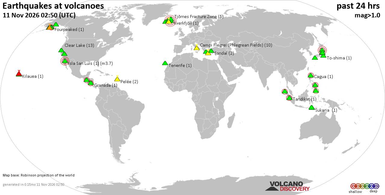
Volcano earthquake report for Wednesday, 11 November 2026
• Moderate, deep magnitude-5.4 earthquake reported 28 km southwest of Calama,...
• M 0.6 - 14 km ENE of Ridgecrest, CA
• Moderate magnitude 4.7 earthquake 89 km west of Saumlaki, Indonesia
• M 0.8 - 65 km WNW of Tyonek, Alaska
• Strong mag. 5.4 earthquake - Provincia de Tocopilla, 28 km west of Calama, ...
|
|
|
Joined: Feb 2001
Posts: 800,656
Launch Director
|
|
Launch Director
Joined: Feb 2001
Posts: 800,656 |
SPC Nov 11, 2026 Day 4-8 Severe Weather OutlookDay 4-8 Outlook 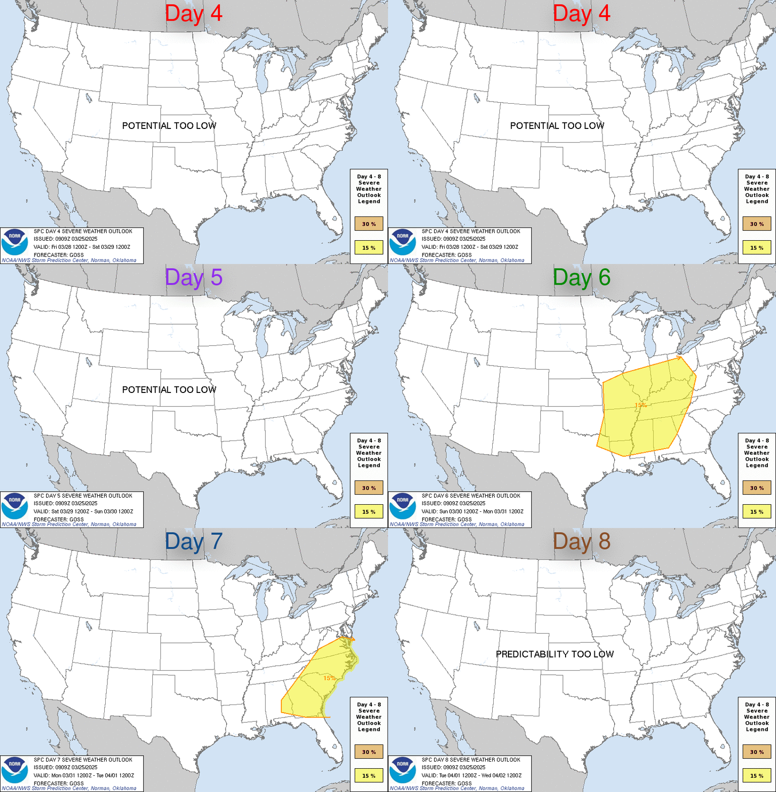
Day 4-8 Convective Outlook
NWS Storm Prediction Center Norman OK
0400 AM CST Wed Nov 11 2026

Valid 141200Z - 191200Z

...DISCUSSION...
Over the coming weekend, a mid-level shortwave trough will move from
the Desert Southwest into the southern Plains. Ahead of the trough,
moisture advection is forecast across much of Texas and Oklahoma,
where surface dewpoints could increase into the 50s and 60s F. This
would contribute to weak instability over parts of the southern
Plains Sunday afternoon. Uncertainty exists on where the northern
extent of the instability will be but it seems likely that enough
instability will be in place by late Sunday afternoon for an
isolated severe threat in parts of central and north Texas. As the
system moves eastward across the Southeast from Monday to Wednesday,
thunderstorms will be possible ahead of the trough each day from the
central Gulf Coast to the Florida Peninsula. The best chance for an
isolated severe threat would be on Wednesday over the Florida
Peninsula where an unstable airmass is forecast as the trough
passes.
Read morehttps://www.spc.noaa.gov/products/exper/day4-8/
|
|



CMS The Best Conveyancing solicitors conveyancing quotes throughout the UK
For any webhosting enquiries please email webmaster@aus-city.com
|
|
Forums60
Topics921,923
Posts956,720
Members2,960
| |
Most Online102,106
Jul 10th, 2026
|
|
|
|
|

|









































